Rolling Hills near Annapolis in Anne Arundel County, Maryland — The American Northeast (Mid-Atlantic)
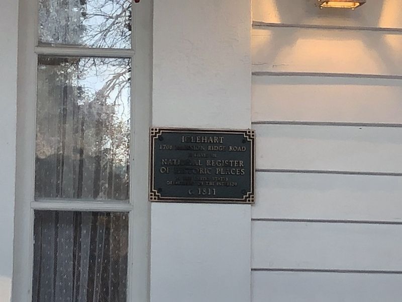
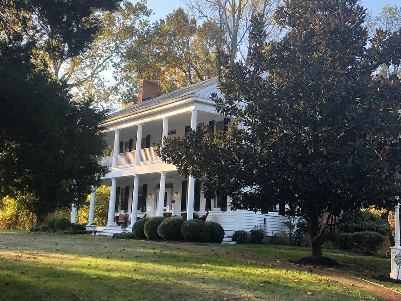
Iglehart
1708 Mansion Ridge Road
Photographed by Devry Becker Jones (CC0), November 9, 2019
1. Iglehart Marker
National Register of Historic Places Nomination Form
Click for more information.
Click for more information.
1708 Mansion Ridge Road
is listed on
National Register
of Historic Places
by the United States
Department of the Interior
c. 1811
Topics. This historical marker is listed in these topic lists: Architecture • Education • Railroads & Streetcars • Women. A significant historical year for this entry is 1811.
Location. 39° 0.617′ N, 76° 34.068′ W. Marker is near Annapolis, Maryland, in Anne Arundel County. It is in Rolling Hills. It can be reached from Mansion Ridge Road 0.1 miles east of Mansion Woods Road, on the right when traveling east. Touch for map. Marker is at or near this postal address: 1708 Mansion Ridge Road, Annapolis MD 21401, United States of America. Touch for directions.

Regionally, this marker is in Central Maryland. It is also in the American Mid-Atlantic, in the Chesapeake Bay Region, and on the Eastern Seaboard. Globally, it is in the North Atlantic Region, North America, the Western Hemisphere, the Western World, and the Anglosphere. Historically, it finds itself in what was once one of the original Thirteen Colonies and also the Antebellum South.
Other nearby markers. At
this page online
Another marker is no longer nearby. Belvoir (was approx. one mile away but has been replaced with another marker now near it).
Regarding Iglehart. Iglehart, located on a tract of land "The Vineyard," patented by Julianna Watkins and her sister in 1809, figured in the land transactions for the construction of the Annapolis and Elk Ridge Railroad in 1836.
Also see . . . Iglehart. Wikipedia article (Submitted on November 9, 2019, by Devry Becker Jones of Washington, District of Columbia.)
Credits. This page was last revised on September 10, 2023. It was originally submitted on November 9, 2019, by Devry Becker Jones of Washington, District of Columbia. This page has been viewed 731 times since then and 52 times this year. Photos: 1, 2. submitted on November 9, 2019, by Devry Becker Jones of Washington, District of Columbia.
