Savage in Howard County, Maryland — The American Northeast (Mid-Atlantic)
Historic Savage Mill
Established 1822
| — | Welcome to Historic Savage Mill | — |
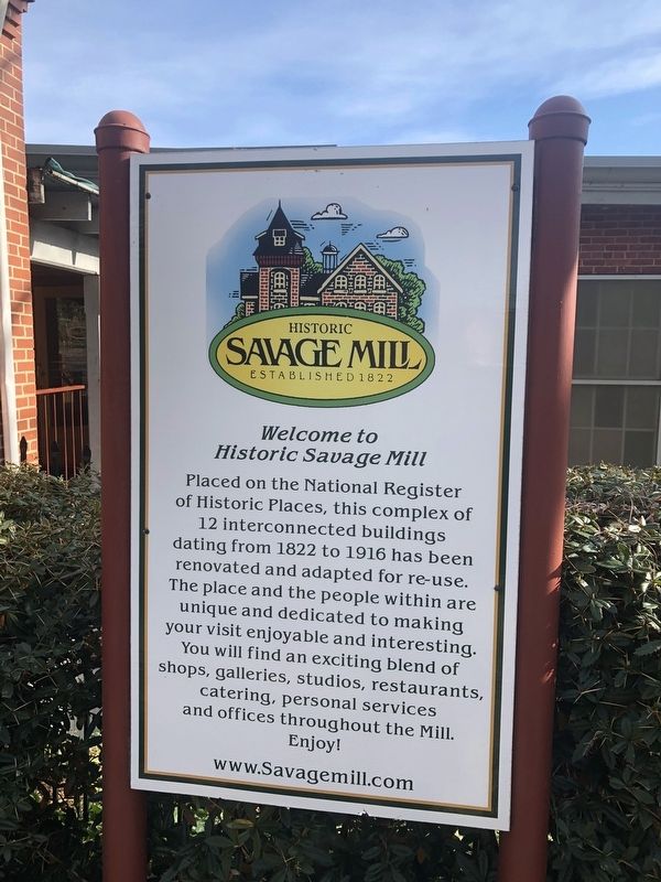
Placed on the National Register of Historic Places, this complex of 12 interconnected building dating from 1822 to 1916 has been renovated and adapted for re-use. The place and the people within are unique and dedicated to making your visit enjoyable and interesting. You will find an exciting blend of shops, galleries, studios, restaurants, catering, personal services and offices throughout the Mill.
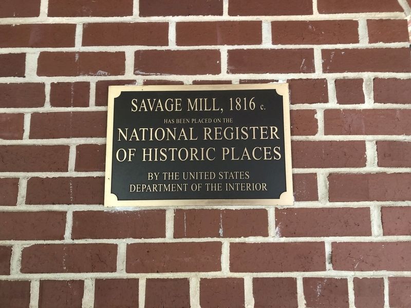
[Additional plaque nearby:]
has been placed on the
National Register
of Historic Places
by the United States
Department of the Interior
Topics. This historical marker is listed in these topic lists: Industry & Commerce • Waterways & Vessels. A significant historical year for this entry is 1822.
Location. 39° 8.144′ N, 76° 49.629′ W. Marker is in Savage, Maryland, in Howard County. It can be reached from Washington Street 0.4 miles west of Foundry Street, on the left when traveling west. Touch for map. Marker is in this post office area: Savage MD 20763, United States of America. Touch for directions.

Regionally, this marker is in the Baltimore Metro Region and in Central Maryland.
this page online
Other nearby markers. At least 8 other markers are within walking distance of this marker: Bollman Iron Truss Bridge (about 700 feet away, measured in a direct line); Baltimore Regional Trail (about 700 feet away); a different marker also named Savage Mill (about 700 feet away); Baldwin Common (about 800 feet away); 9051-9053 Baltimore Street (approx. 0.2 miles away); Millworkers House (approx. 0.2 miles away); Carroll Baldwin Memorial Hall (approx. 0.2 miles away); This Survey Point (approx. ¼ mile away). Touch for a list and map of all markers in Savage.
Other markers no longer nearby. Historic Savage Mill (was within shouting distance of this marker but has been replaced with another marker now near it); Savage Mill (was about 700 feet away but has been replaced with another marker now near it).
Related marker.
Photographed by Devry Becker Jones (CC0), November 9, 2019
2. Historic Savage Mill Marker
National Register of Historic designation plaque
Credits. This page was last revised on February 26, 2026. It was originally submitted on November 9, 2019, by Devry Becker Jones of Washington, District of Columbia. This page has been viewed 432 times since then and 35 times this year. Photos: 1, 2, 3. submitted on November 9, 2019, by Devry Becker Jones of Washington, District of Columbia.
