Fort Benton in Chouteau County, Montana — The American West (Mountains)
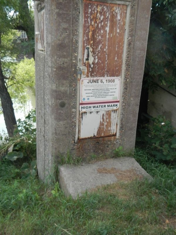
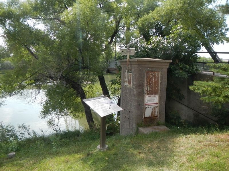
June 6, 1908
For more information contact
National Weather Service Great Falls, MT
www.weather.gov/greatfalls
Missouri Basin River Forecast Center
www.weater.gov.mbrfc
USGS Montana Water Science Center
mt.water.usgs.gov
____________________________
HIGH WATER MARK
18.50 feet - 140,000 cubic feet per second
Topics. This historical marker is listed in these topic lists: Bridges & Viaducts • Disasters • Waterways & Vessels.
Location. 47° 49.046′ N, 110° 40.023′ W. Marker is in Fort Benton, Montana, in Chouteau County. Marker is on Front Street near 15th Street, on the right when traveling east. Touch for map. Marker is in this post office area: Fort Benton MT 59442, United States of America. Touch for directions.
Other nearby markers. At least 8 other markers are within walking distance of this marker. Stream Flow Monitoring (here, next to this marker); "George Montgomery: Rider of the Purple Sage" (here, next to this marker); Open Range Cattle (a few steps from this marker); Culbertson House (a few steps from this marker); Fort Benton Bridge (a few steps from this marker); Old Fort Benton Bridge (within shouting distance of this marker); First Fire Engine House (within shouting distance of this marker); Fort Benton Engine House (within shouting distance of this marker). Touch for a list and map of all markers in Fort Benton.
More about this marker. This marker is located in Fort Benton's riverside park.
Credits. This page was last revised on November 9, 2019. It was originally submitted on November 9, 2019, by Barry Swackhamer of Brentwood, California. This page has been viewed 137 times since then and 13 times this year. Photos: 1, 2. submitted on November 9, 2019, by Barry Swackhamer of Brentwood, California.

