Dexter in Washtenaw County, Michigan — The American Midwest (Great Lakes)
History of Mill Creek Dam
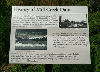
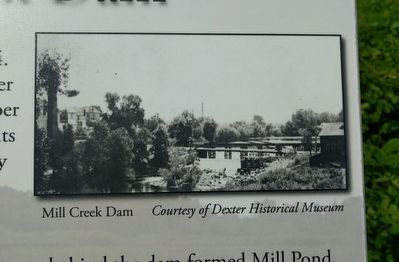
The dam was originally built by Judge Samuel Dexter in 1824. Mill Creek got its name because the dam provided hydropower for the sawmills and gristmills that supplied much of the timber and flour for the growing community within the village and its surrounding farmlands. Mill Creek Dam was rebuilt by Henry Ford in 1919 and 1932.
The water behind the dam formed Mill Pond, a 22 acre impoundment area, taking in water from a 144 square mile watershed. Residents used the impoundment area for a variety of recreational activities including fishing, boating and, when the surface was frozen, horse racing and ice skating.
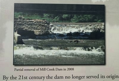
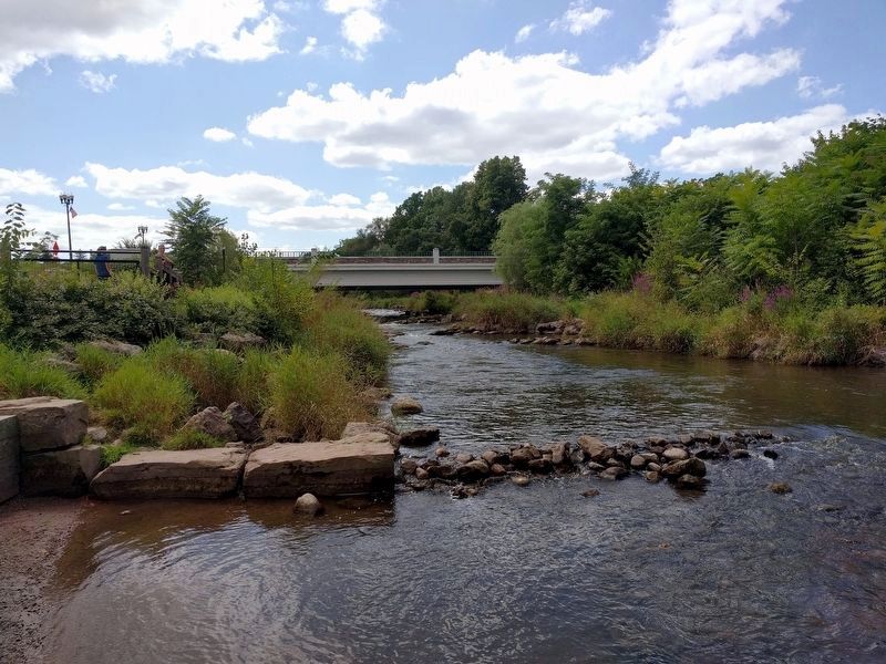
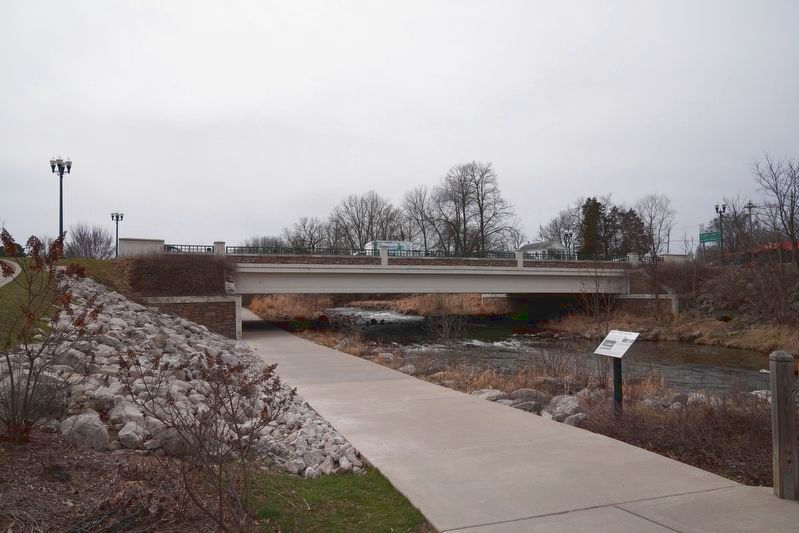
By the 21st century the dam no longer served its original purpose. Along with the rebuilding of the Main Street Bridge the dam was removed in 2008 and Mill Pond dissipated. The removal provided an opportunity to reshape the landscape adjacent to Mill Creek leading to the development of Mill Creek Park.
Topics. This historical marker is listed in these topic lists: Charity & Public Work • Industry & Commerce • Parks & Recreational Areas • Waterways & Vessels. A significant historical year for this entry is 1824.
Location. 42° 20.357′ N, 83° 53.429′ W. Marker is in Dexter, Michigan, in Washtenaw County. Marker is in Mill Creek Park North, behind the Dexter Area Fire Department/Sheriff Office. Touch for map. Marker is at or near this postal address: 8410 Main Street, Dexter MI 48130, United States of America. Touch for directions.
Other nearby markers. At least 8 other markers are within 4 miles of this marker, measured as the crow flies. Frederick Pelham: Bridge Engineer (within shouting distance of this marker); Alice Frances House•Library (approx. 0.2 miles away); Dexter Area Civil War Memorial (approx. 0.2 miles away); Forest Lawn Cemetery (approx. ¼ mile away); Dexter Depot / Track Pans (approx. 0.3 miles away); St. Joseph Catholic Church (approx. 0.4 miles away); Labyrinth (approx. 1.8 miles away); Hudson Mills (approx. 3.4 miles away). Touch for a list and map of all markers in Dexter.
Credits. This page was last revised on March 27, 2021. It was originally submitted on November 10, 2019, by Joel Seewald of Madison Heights, Michigan. This page has been viewed 493 times since then and 67 times this year. Photos: 1, 2, 3, 4. submitted on November 10, 2019, by Joel Seewald of Madison Heights, Michigan. 5. submitted on March 25, 2021, by J.T. Lambrou of New Boston, Michigan.
