Near Loma in Chouteau County, Montana — The American West (Mountains)
A Montana Crossroads
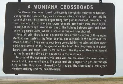
Photographed by Barry Swackhamer, August 14, 2019
1. A Montana Crossroads Marker
From this point there is also a panoramic view of the drainages of three major Montana river systems.: The Teton, Marias, and Missouri. To the southwest, the Teton and Marias Rivers merge near Loma before joining the Missouri River about a mile downstream. In the background are the Bear's Paw Mountains to the east, Square Butte and Round Butte to the southeast, the Highwood Mountains toward the south, and the Little Belt Mountains in the southwest.
Because of the geography, this area was the crossroads for many events important to Montana history. The Lewis and Clark Expedition passed through here in 1805. They were followed by fur traders, the steamboat,
this page online
Erected by Montana Department of Transportation.
Topics. This historical marker is listed in this topic list: Roads & Vehicles.
Location. 47° 58.336′ N, 110° 29.934′ W. Marker is near Loma, Montana, in Chouteau County. It is on U.S. 87 near Colony Bay Road, on the left when traveling north. Touch for map. Marker is in this post office area: Loma MT 59460, United States of America. Touch for directions.

Regionally, this marker is in Central Montana, in Missouri River Country, and specifically in Russell Country. It is also in the American Mountain West and in the Lewis & Clark Corridor. Globally, it is in North America, the Western Hemisphere, the Western World, and the Anglosphere. Historically, it finds itself in what was once Rupert’s Land and also the Louisiana Purchase.
Other nearby markers. At least 8 other markers are within 4 miles of this marker, measured as the crow flies: Decision at the Marias (approx. 0.2 miles away); Exploring the North Fork (approx. 0.2 miles away); The Manitoba Railroad (approx. 3.1 miles
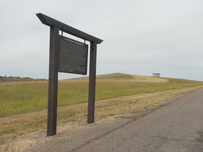
Photographed by Barry Swackhamer, August 14, 2019
2. A Montana Crossroads Marker
Note the observation platform in the background.
More about this marker. Nothing but farm and ranch roads out here.
Credits. This page was last revised on November 12, 2019. It was originally submitted on November 12, 2019, by Barry Swackhamer of Brentwood, California. This page has been viewed 888 times since then and 92 times this year. Photos: 1, 2. submitted on November 12, 2019, by Barry Swackhamer of Brentwood, California.
