The Hardman Family Cemetery
Early DeKalb County Landmark
— Atlanta Campaign Heritage Trail —
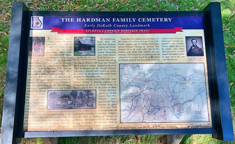
Naman Hardman gave the land for the cemetery and on the high ground next to it the Primitive Baptist Church of Christ at Hardman's was chartered in 1825. In July 1864 the latter served as a barracks and military field hospital staffed by Dr. Edward Shippen of Union Major General John M. Schofield's 23rd Corps. Shippen also used the nearby James Oliver Powell house. The sketch shown here, drawn by war correspondent T. R. Davis, shows a pew from the meeting house in use by Federal soldiers and a table from the Powell house being used for surgery. After the war the congregation moved south to Decatur. The Powell's house stood about 400 yards from Hardman Cemetery and 1/2 mile north of a strategic junction. Atlanta Road (now North Decatur Road) led west across nor Peavine Creek and up the ridge to Williams Mill Road (now Briarcliff Road) and on to Atlanta. Shallowford Road led south to Decatur and the Georgia
Railroad. Following a skirmish with Confederate cavalry for control of the junction, Schofield's troops occupied the surrounding area.Traveling with the Federal 23rd Corps, Major General William T. Sherman established his headquarters at the J. O. Powell house on Tuesday, July 19, 1864, one day before the Battle of Peach Tree Creek and its use for field surgery. From there Sherman issued Special Field Orders Number 39, which read in part: “Each army commander will accept battle on anything like fair terms...If fired on from the forts or buildings of Atlanta no consideration must be paid to the fact that they are occupied by families, but the place must be cannonaded without the formality of a demand."
A log cabin at the road junction, the property of Dr. Chapmon Powell, was the home of one of Dr. Powell's daughters and her husband, Washington Jackson Houston. During the skirmish, Mrs. Houston hid in the cabin's cellar with her five children while Minié balls thudded into logs overhead. Her husband was in Atlanta but he had advised her that in case of peril she should display his Masonic apron on their front porch hoping she would not then be harmed. Following the skirmish, she attended to nine wounded Federal soldiers placed on the porch. One soldier died and at his brother's request was buried beneath an apple tree in the yard until after the war.
Erected by
Topics and series. This historical marker is listed in these topic lists: Cemeteries & Burial Sites • Settlements & Settlers • War, US Civil. In addition, it is included in the Georgia Civil War Trails series list. A significant historical month for this entry is July 1864.
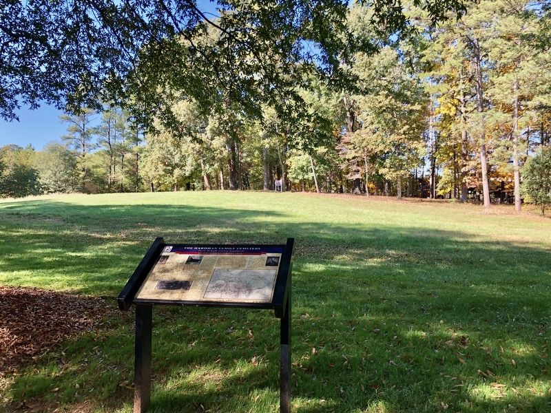
Location. 33° 47.713′ N, 84° 18.587′ W. Marker is in Decatur, Georgia, in DeKalb County. It is in Druid Hills. Marker is on Starvine Way, 0.3 miles west of Clairmont Road (U.S. 23), on the right when traveling west. Located within Emory University. Touch for map. Marker is at or near this postal address: 1510 Starvine Way, Decatur GA 30033, United States of America. Touch for directions.
Other nearby markers. At least 8 other markers are within 2 miles of this marker, measured as the crow flies. Site: J. Oliver Powell House Sherman's H'dq'rs (approx. ¼ mile away); Trail to Standing Peachtree and Houston Chapel (approx. 0.3 miles away); Dr. Chapmon Powell’s “Medicine House” and W.J. Houston Plantation (approx. 0.4 miles away); Site: Judge James Paden House: Gen. J.D. Cox’s H’dq’rs (approx. ¾ mile away); Historic Ground (approx. 1½ miles away); 4th A.C. at Durand's Mill (approx. 1½ miles away); Steatite Boulder (approx. 1.6 miles away); Houston Mill Millstone (approx. 1.6 miles away). Touch for a list and map of all markers in Decatur.
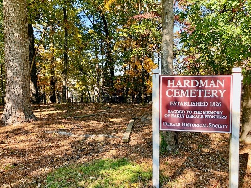
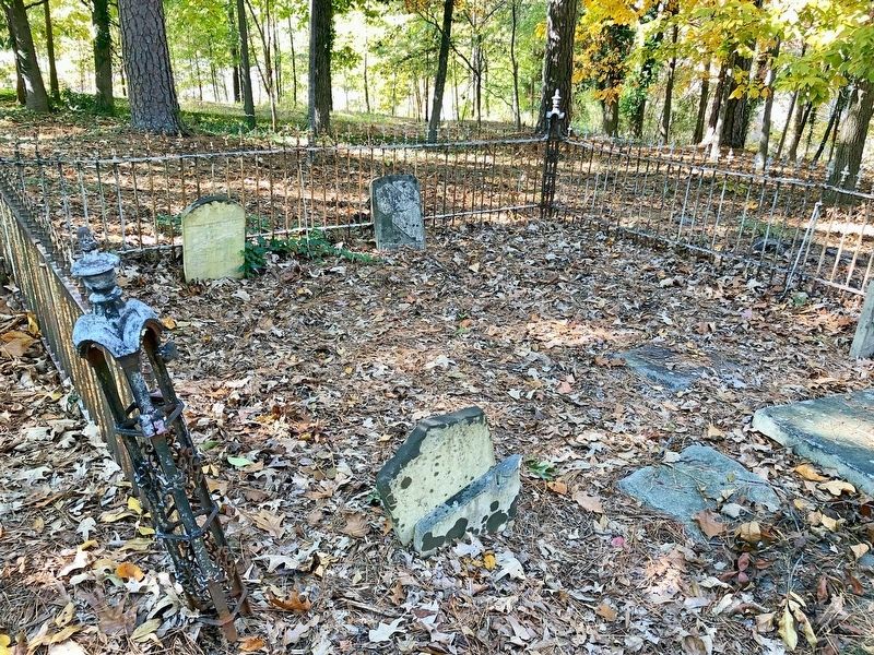
Regarding The Hardman Family Cemetery. Emory University acquired the cemetery property as part of the purchase of an aging apartment complex in 1986.
Credits. This page was last revised on February 8, 2023. It was originally submitted on November 12, 2019, by Mark Hilton of Montgomery, Alabama. This page has been viewed 1,072 times since then and 180 times this year. Photos: 1, 2, 3, 4. submitted on November 12, 2019, by Mark Hilton of Montgomery, Alabama.


