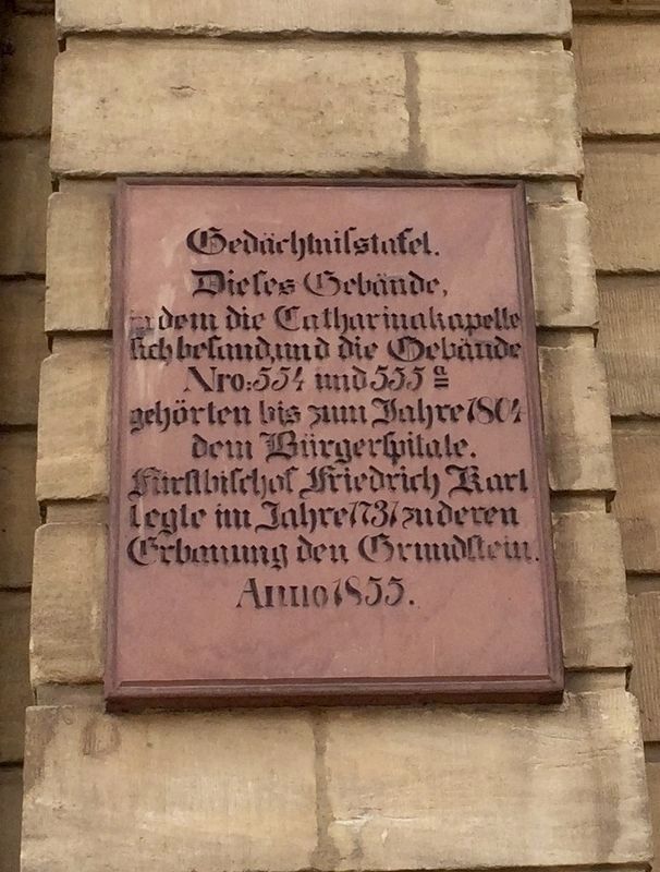
Catharinakapelle / Catherina Chapel
Dieses Gebäude,
in dem die Catharinakapelle
sich befand, und die Gebäude
Nro: 554 und 555a
gehörten bis zum Jahre 1804
dem Bürgerspitale.
Fürstbischof Friedrich Karl
legte im Jahre 1737 zu deren
Erbauung den Grundstein.
Anno 1855
This building, in which the Catharina Chapel
was located, and the buildings
Nos: 554 and 555a (i.e., old style house addresses)
were part of the the public welfare building until 1804.
In 1737, Prince Bishop Friedrich Karl laid the cornerstone at their construction.
Erected 1855.
Topics. This historical marker is listed in this topic list: Notable Buildings. A significant historical year for this entry is 1804.
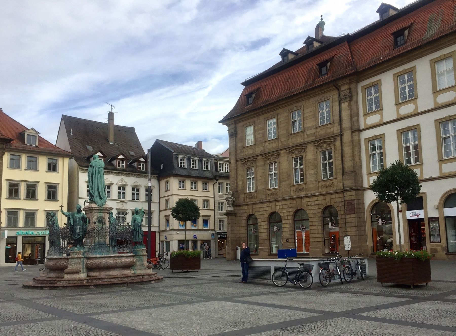
Location. 49° 53.653′ N, 10° 53.363′ E. Marker is in Bamberg, Bayern (Bavaria). Marker is at the intersection of Maximilianplatz and Grüner Markt on Maximilianplatz. Touch for map. Marker is at or near this postal address: Grüner Markt 31, Bamberg BY 96047, Germany. Touch for directions.
Other nearby markers. At least 8 other markers are within walking distance of this marker
More about this marker. Although the marker carries a date of 1855, the present tablet is likely a replacement for the original marker, which was probably destroyed in WW II. That is, there are a number of similar historical markers (same font, size and material) but bearing different dates, on buildings in the center of the city, which was heavily damaged by bombing during the war.
Credits. This page was last revised on January 28, 2022. It was originally submitted on November 12, 2019, by Andrew Ruppenstein of Lamorinda, California. This page has been viewed 93 times since then and 2 times this year. Photos: 1, 2. submitted on November 12, 2019, by Andrew Ruppenstein of Lamorinda, California.

