Big Sandy in Chouteau County, Montana — The American West (Mountains)
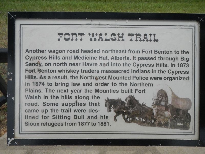
Fort Walsh Trail
Topics. This historical marker is listed in this topic list: Roads & Vehicles.
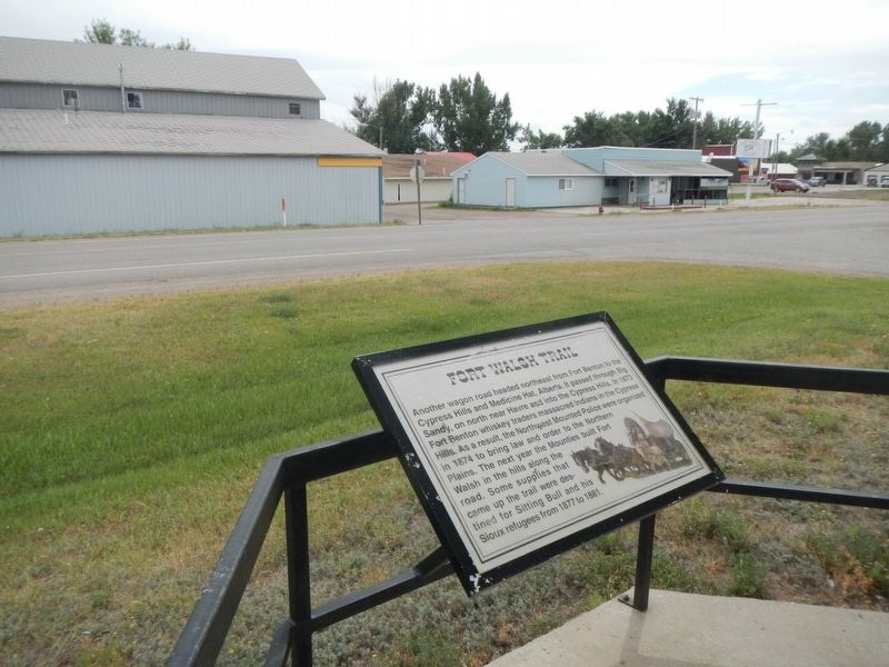
Location. 48° 10.783′ N, 110° 6.655′ W. Marker is in Big Sandy, Montana, in Chouteau County. Marker is at the intersection of Broadway (U.S. 87) and McNamara Avenue, on the left when traveling north on Broadway. Touch for map. Marker is at or near this postal address: 79346 US Highway 87, Big Sandy MT 59520, United States of America. Touch for directions.
Other nearby markers. At least 7 other markers are within 13 miles of this marker, measured as the crow flies. Big Sandy (here, next to this marker); Judith Landing (here, next to this marker); Cow Island Trail (here, next to this marker); An Island on the Plains (within shouting distance of this marker); Coal Banks Landing (approx. 11.7 miles away); Virgelle Mercantile (approx. 13 miles away); Virgelle State Bank (approx. 13.1 miles away).
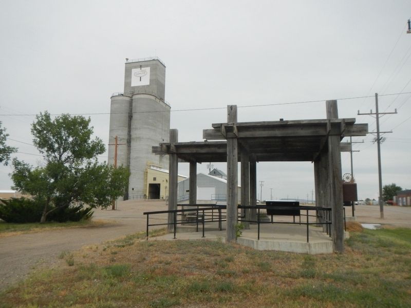
More about this marker. The marker is located at the kiosk at the intersection of US Hwy 87 and McNamara Avenue.
Also see . . . Cypress Hills Massacre -- The Canadian Encyclopedia. The hills were hard to reach from Hudson's Bay Company posts on the Red and Saskatchewan Rivers, but were infiltrated eventually by traders from the Missouri River town of Fort Benton, Montana. The traders' presence by 1870, with great amounts of illegal whisky, underlined the weakness of Canadian authority west of Winnipeg. (Submitted on November 13, 2019, by Barry Swackhamer of Brentwood, California.)
Credits. This page was last revised on November 13, 2019. It was originally submitted on November 13, 2019, by Barry Swackhamer of Brentwood, California. This page has been viewed 245 times since then and 28 times this year. Photos: 1, 2, 3. submitted on November 13, 2019, by Barry Swackhamer of Brentwood, California.


