Near Fallon in Churchill County, Nevada — The American Mountains (Southwest)
Swift Steeds Tie East to West
"The Mail Must Go Through"
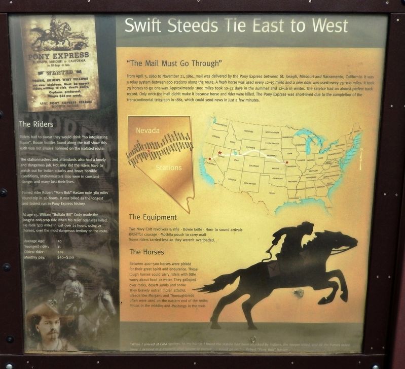
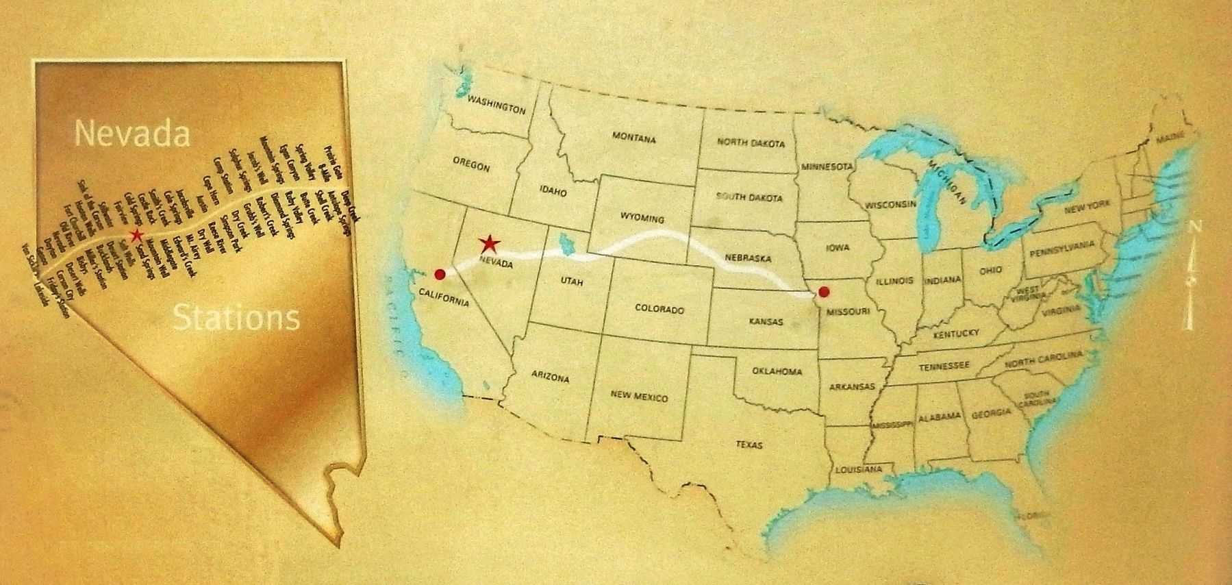
From April 3, 1860 to November 21, 1861, mail was delivered by the Pony Express between St. Joseph, Missouri and Sacramento, California. It was a relay system between 190 stations along the route. A fresh horse was used every 12-15 miles and a new rider was used every 75-100 miles. It took 75 horses to go one-way. Approximately 1900 miles took 10-12 days in the summer and 12-16 in winter. The service had an almost perfect track record. Only once the mail didn't make it because horse and rider were killed. The Pony Express was short-lived due to the completion of the transcontinental telegraph in 1861, which could send news in just a few minutes.
The Equipment
Two Navy Colt revolvers & rifle • Bowie knife • Horn to sound arrivals • Bible for courage • Mochila pouch to carry mail • Some riders carried less so they weren't overloaded.
The Horses
Between 400—500 horses were picked for their great spirit and endurance. These tough horses could carry riders with little worry about food or water. They galloped over rocks, desert sands and snow. They bravely outran Indian attacks. Breeds like Morgans and Thoroughbreds often were used on the eastern end of the route; Pintos in the middle; and Mustangs in the west.
The Riders
Riders had to swear they would drink "no intoxicating liquor". Booze bottles found along the trail show this oath was not always honored on the isolated route.
The stationmasters and attendants also had a lonely and dangerous job. Not only did the riders have to watch out for Indian attacks and brave horrible conditions, stationmasters also were in constant danger and many lost their lives.
Famed rider Robert "Pony Bob" Haslam rode 380 miles round-trip in 36 hours. It was billed as the longest and fastest run in Pony Express history.
At age 15, William "Buffalo Bill" Cody made the longest non-stop ride when his relief rider was killed. He rode 322 miles in just over 21 hours, using 21 horses, over the most dangerous territory on the route.
Average Age: 20
Youngest rider: 11
Oldest rider: 40+
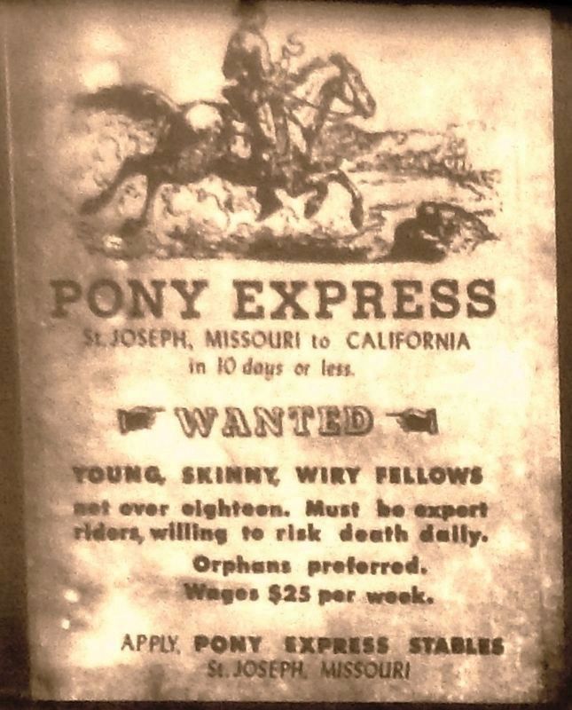
Monthly pay: $50—$100
”When I arrived at Cold Spring, to my horror, I found the station had been attacked by Indians, the keeper killed, and all the horses taken away, I decided in a moment what course to pursue – I would go on.” —Robert “Pony Bob” Haslam
Topics and series. This historical marker is listed in these topic lists: Communications • Industry & Commerce • Roads & Vehicles. In addition, it is included in the Pony Express National Historic Trail series list. A significant historical year for this entry is 1860.
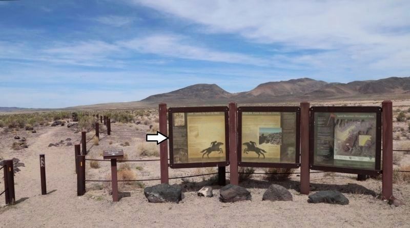
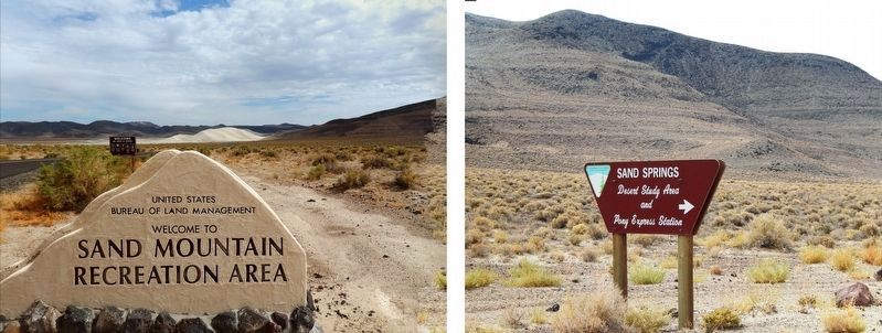
Location. 39° 17.426′ N, 118° 24.938′ W. Marker is near Fallon, Nevada, in Churchill County. Marker can be reached from Lincoln Avenue (U.S. 50) 25 miles east of Maine Street (U.S. 95), on the left when traveling east. Marker is located at the Sand Springs Pony Express Station trailhead, within Sand Mountain Recreation Area, about 25 miles east of Fallon, Nevada, and 2 miles north of US Highway 50. Touch for map. Marker is in this post office area: Fallon NV 89406, United States of America. Touch for directions.
Other nearby markers. At least 6 other markers are within 11 miles of this marker, measured as the crow flies. What Are Those Rocks Out There? (here, next to this marker); Sand Mountain Pony Express Station (about 700 feet away, measured in a direct line); Sand Mountain (approx. 1.1 miles away); Helicopter Antisubmarine Squadron Four Crash Site (approx. 2.4 miles away); Pony Express Route (approx. 8˝ miles away); Fairview (approx. 10.8 miles away).
Also see . . . Pony Express Stations, Part 12: Sand Springs Station. "The Complete Nevadan" entry:
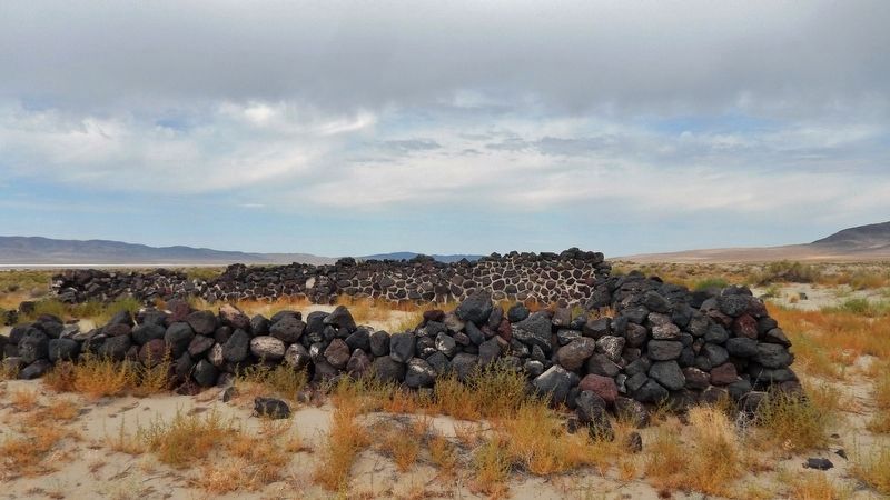
When the stations for the Pony Express were constructed in 1860, the owners selected a place about 20 miles east of present Fallon and just south of Sand Mountain to construct Sand Springs Station. After the station was abandoned when the Pony Express ceased operation in 1861, the stone corrals and station house
soon became buried under the ever shifting sands of the Great American Desert. In 1976, the BLM and archaeologists from the University of Nevada located the buried ruins and excavated them. (Submitted on November 13, 2019, by Cosmos Mariner of Cape Canaveral, Florida.)
Credits. This page was last revised on January 26, 2021. It was originally submitted on November 13, 2019, by Cosmos Mariner of Cape Canaveral, Florida. This page has been viewed 251 times since then and 17 times this year. Photos: 1, 2, 3, 4, 5, 6. submitted on November 13, 2019, by Cosmos Mariner of Cape Canaveral, Florida.
