Havre in Hill County, Montana — The American West (Mountains)
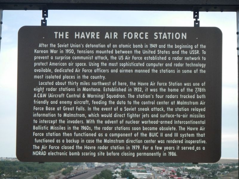
The Havre Air Force Station
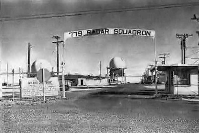
Located about thirty miles north west of here, the Havre Air Force Station was one of the eight radar stations in Montana. Established in 1952, it was the home of the 778th (AC&W Aircraft Control & Warning) Squadron. The station's four radars tracked both friendly and enemy aircraft, feeding the data to the control center at Malmstrom Air Force Base in Great Falls. In the event of a Soviet sneak attack, the station relayed information to Malmstrom, which would direct fighter jets and surface-to-air missiles to intercept the invaders With the advent of nuclear warhead-armed Intercontinental Ballistic Missiles in the 1960s, the radar stations soon became obsolete. The Havre Air Force station then functioned as a component of the BUIS II and III system that functioned as a backup in case the Malmstrom direction center was rendered inoperative. The Air Force closed the Havre radar station in 1979. For a few years it served as a NORAD electronic bomb scoring site before closing permanently in 1986.
Erected by Montana Department of Transportation.
Topics. This historical marker is listed in these topic lists: Military • War, Cold. A significant historical year for this entry is 1949.
Location. 48° 33.393′ N, 109° 42.288′ W. Marker is in Havre, Montana, in Hill County. Marker is on U.S. 2 near 19th Avenue West, on the left when traveling east. Touch for map. Marker is at or near this postal address: 1425 US Highway 2, Havre MT 59501, United States of America. Touch for directions.
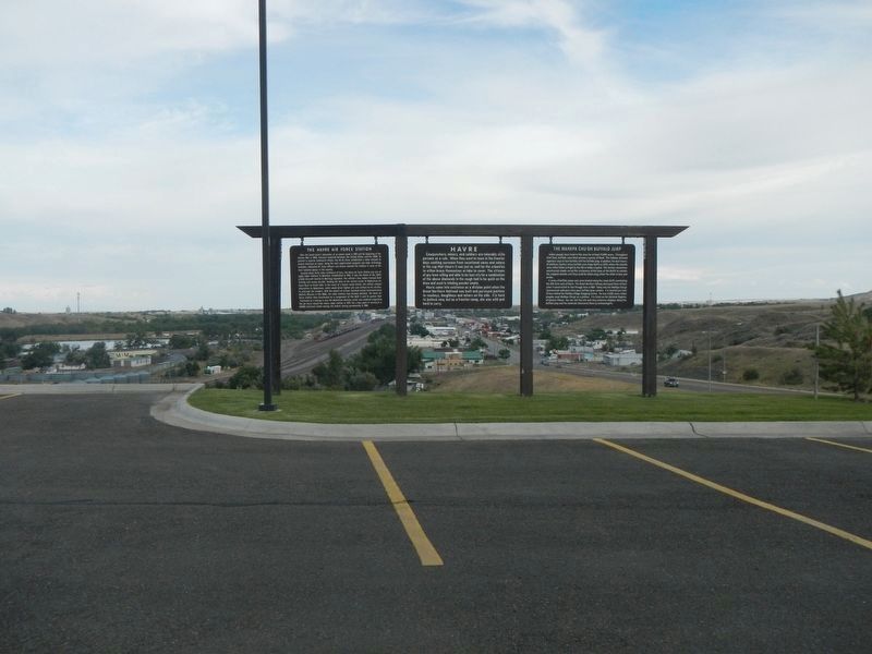
Other nearby markers. At least 8 other markers are within 2 miles of this marker, measured as the crow flies. Havre (here, next to this marker); The Wahkpa Chu'gn Buffalo Jump (here, next to this marker); a different marker also named Wahkpa Chu'gn Buffalo Jump (approx. 0.4 miles away); Boone/Dalrymple House (approx. 1.2 miles away); A.D. Smith House (approx. 1.2 miles away); The Atrium (approx. 1.2 miles away); Havre Post Office and Courthouse (approx. 1.2 miles away); St. Mark's Episcopal Church (approx. 1.3 miles away). Touch for a list and map of all markers in Havre.
More about this marker. This marker is in the parking lot of the Best Western Havre Inn.
Also see . . . Havre Air Force Station -- FortWiki. Established in 1951 with the relocation of the 778th AC&W Squadron to the newly constructed radar station at Simpson, Montana. Redesignated Havre Air Force Station after the nearby town on 1 Dec 1953. Initial equipment included the FPS-3 search radar and an FPS-4 height-finder radar. (Submitted on November 14, 2019, by Barry Swackhamer of Brentwood, California.)
Credits. This page was last revised on November 14, 2019. It was originally submitted on November 14, 2019, by Barry Swackhamer of Brentwood, California. This page has been viewed 1,120 times since then and 94 times this year. Photos: 1, 2, 3. submitted on November 14, 2019, by Barry Swackhamer of Brentwood, California.


