Havre in Hill County, Montana — The American West (Mountains)
The Wahkpa Chu'gn Buffalo Jump
Photographed by Barry Swackhamer, August 14, 2019
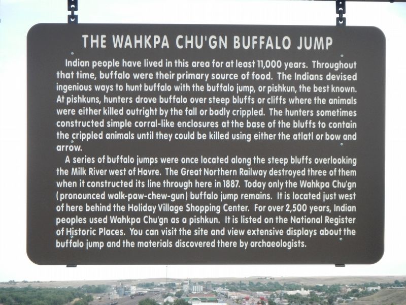
1. The Wahkpa Chu'gn Buffalo Jump Marker
A series of buffalo jumps were once located along the steep bluffs overlooking the Milk River west of Havre. The Great Northern Railway destroyed three of them when it constructed its line through here in 1887. Today only the Wahkpa Chu'gn (pronounced walk-paw-chew-gun) buffalo jump remains. It is located just west of here behind the Holiday Village Shopping Center. For over 2,500 years, Indian peoples used Wahkpa Chu'gn as a pishkun, It is listed on the National Register of Historic Places. You can visit the site and view extensive displays about the buffalo jump
this page online
Erected by Montana Department of Transportation.
Topics. This historical marker is listed in this topic list: Indigenous Peoples and Communities.
Location. 48° 33.393′ N, 109° 42.288′ W. Marker is in Havre, Montana, in Hill County. It can be reached from U.S. 2 near 19th Avenue West, on the left when traveling east. Touch for map. Marker is at or near this postal address: 1425 U.S Highway 2, Havre MT 59501, United States of America. Touch for directions.

Regionally, this marker is in Montana’s Missouri River Country. It is also in the American Mountain West and in the Lewis & Clark Corridor. Globally, it is in North America, the Western Hemisphere, the Western World, and the Anglosphere. Historically, it finds itself in what was once Rupert’s Land and also the Louisiana Purchase.
Other nearby markers. At least 8 other markers are within 2 miles of this marker, measured as the crow flies: The Havre Air Force Station (here, next to this marker); Havre (here, next to this marker); a different marker also named
Photographed by Barry Swackhamer, August 14, 2019
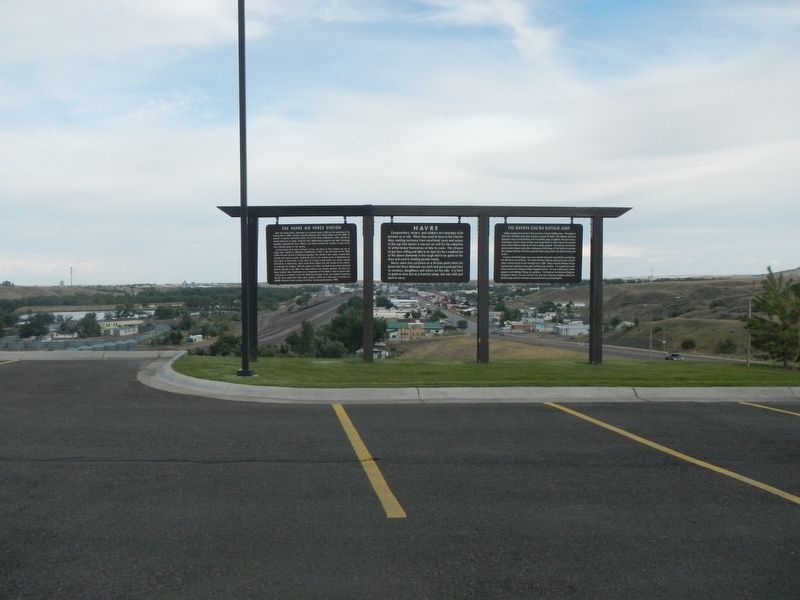
2. The Wahkpa Chu'gn Buffalo Jump Marker
More about this marker. This marker is in the parking lot of the Best Western Havre Inn.
Photographed by Barry Swackhamer, August 14, 2019
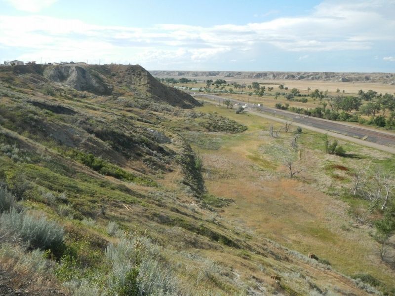
3. The Wahkpa Chu'gn Buffalo Jump
Photographed by Visit Montana
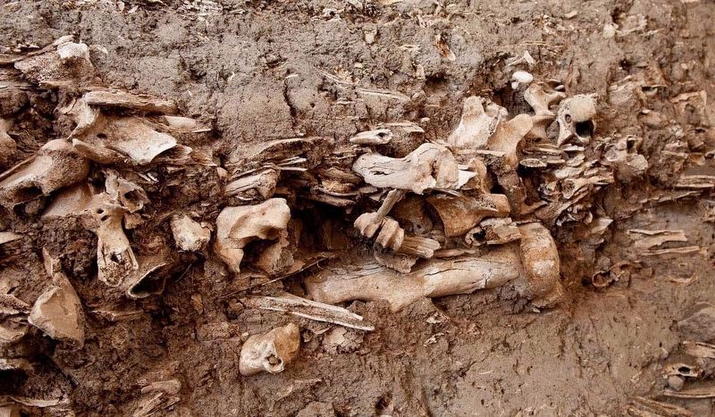
4. The Wahkpa Chu'gn Buffalo Jump
Credits. This page was last revised on November 14, 2019. It was originally submitted on November 14, 2019, by Barry Swackhamer of Brentwood, California. This page has been viewed 808 times since then and 46 times this year. Photos: 1, 2, 3, 4. submitted on November 14, 2019, by Barry Swackhamer of Brentwood, California.
