Coudersport in Potter County, Pennsylvania — The American Northeast (Mid-Atlantic)
Road through the Wilderness • Historic Route 6
Pennsylvania Wilds
Inscription.
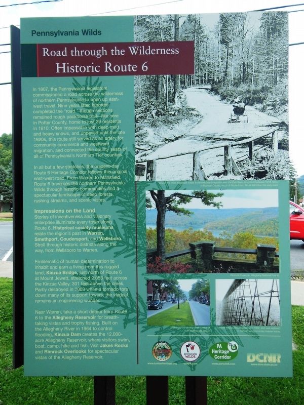
In 1807, the Pennsylvania legislature commissioned a road across the wilderness of northern Pennsylvania to open up east-west travel. Nine years later, laborers completed the "road," though sections remained rough packhorse trail — like here in Potter County, home to just 29 residents in 1810. Often impassable with deep mud and heavy snows, and unpaved until the late 1920s, this route still served as an artery for community commerce and westward migration, and connected the county seats of all of Pennsylvania's Northern Tier counties.
In all but a few stretches, the present-day Route 6 Heritage Corridor follows this original east-west road. From Warren to Mansfield, Route 6 traverses the northern Pennsylvania Wilds through historic communities and a spectacular landscape of deep forests, rushing streams, and scenic vistas.
Impressions on the Land
Stories of inventiveness and visionary enterprise illuminate every town along Route 6. Historical society museums relate the region's past in Warren, Smethport, Coudersport, and Wellsboro. Stroll through historic districts along the way, from Wellsboro to Warren.
Emblematic of human determination to inhabit and earn a living from this rugged land, Kinzua Bridge, just north of Route 6 at Mount Jewett, stretched 2,053 feet across the Kinzua Valley, 301 feet above the creek. Partly destroyed in 2003 when a tornado tore down many of its support towers, the viaduct remains an engineering wonder.
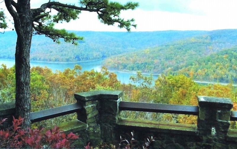
Near Warren, take a short detour from Route 6 to the Allegheny Reservoir for breath-taking vistas and trophy fishing. Built on the Allegheny River in 1964 to control flooding, Kinzua Dam creates the 12,000-acre Allegheny Reservoir, where visitors swim, boat, camp, hike and fish. Visit Jakes Rocks and Rimrock Overlooks for spectacular vistas of the Allegheny Reservoir.
(photo captions)
• Wellsboro’s charming downtown is lit with historic gas lamps.
• This first Kinzua Bridge was built in 1882, and was replaced in 1900 to accommodate heavier trains.
Erected by Pennsylvania Wilds, Pennsylvania Heritage Corridor, and Pennsylvania Department of Conservation and Natural Resources.
Topics. This historical marker is listed in these topic lists: Bridges & Viaducts • Roads & Vehicles • Settlements & Settlers. A significant historical year for this entry is 1816.
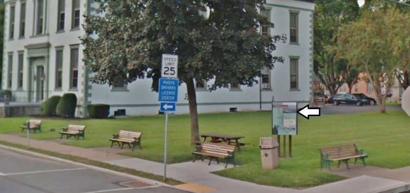
Location. 41° 46.481′ N, 78° 1.197′ W. Marker is in Coudersport, Pennsylvania, in Potter County. Marker is at the intersection of 2nd Street (U.S. 6) and East Street, on the right when traveling west on 2nd Street. Marker is the west-facing panel of a triangular kiosk located beside the sidewalk at the northwest corner of the intersection. Touch for map. Marker is at or near this postal address: 1 2nd Street, Coudersport PA 16915, United States of America. Touch for directions.
Other nearby markers. At least 8 other markers are within 9 miles of this marker, measured as the crow flies. Headwaters Country (here, next to this marker); Potter County (within shouting distance of this marker); David Zeisberger (within shouting distance of this marker); a different marker also named David Zeisberger (about 600 feet away, measured in a direct line); Lymansville (approx. 1.9 miles away); Jersey Shore Pike (approx. 3.2 miles away); Earthen Dam (approx. 8.7 miles away); Earthen Dam Spillway (approx. 8.7 miles away). Touch for a list and map of all markers in Coudersport.
Also see . . .
1. U. S. Route 6 History. Route 6, because of its natural flow through the Endless Mountains of Northern Pennsylvania, and at times following old Indian Trails has never become a highway to those who live along the road and have enjoyed its vistas. It is always just Route 6. Route 6 is the connecting link between the County seats of the northern tier of Pennsylvania. It is 400 miles across eleven counties. (Submitted on November 16, 2019, by Cosmos Mariner of Cape Canaveral, Florida.)
2. U.S. Route 6 in Pennsylvania. The Pennsylvania section of US 6 was renamed the Grand Army of the Republic Highway in 1946. Most of it is a two-lane rural highway, with some freeway bypasses around larger towns. (Submitted on November 16, 2019, by Cosmos Mariner of Cape Canaveral, Florida.)
Credits. This page was last revised on November 21, 2022. It was originally submitted on November 15, 2019, by Cosmos Mariner of Cape Canaveral, Florida. This page has been viewed 288 times since then and 28 times this year. Photos: 1. submitted on November 15, 2019, by Cosmos Mariner of Cape Canaveral, Florida. 2, 3. submitted on November 16, 2019, by Cosmos Mariner of Cape Canaveral, Florida.


