Near Lolo in Missoula County, Montana — The American West (Mountains)
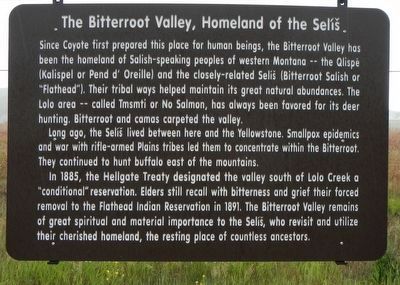
Bitterroot Valley, Homeland of the Selíš
Photographed by Barry Swackhamer, May 11, 2018
1. Bitterroot Valley, Homeland of the Selíš Marker
Long ago, the Selíš lived between here and the Yellowstone. Smallpox epidemics and war with rifle-armed Plains tribes led them to concentrate within the Bitterroot. They continued to hunt buffalo east of the mountains.
In 1885 (sic, 1855), the Hellgate Treaty designated the valley south of Lolo Creek a "conditional' reservation. Elders still recall with bitterness and grief their forced removal to the Flathead Indian Reservation in 1891. The Bitterroot Valley remains of great spiritual and material importance to the Selíš, who revisit and utilize their cherished homeland, the resting place of countless ancestors.
Erected by Montana Department of Transportation.
Topics.
this page online
Location. 46° 44.516′ N, 114° 4.88′ W. Marker is near Lolo, Montana, in Missoula County. It is at the intersection of U.S. 93 and Delarka Drive, on the right when traveling south on U.S. 93. Touch for map. Marker is at or near this postal address: 13498 U.S Highway 93, Lolo MT 59847, United States of America. Touch for directions.

Regionally, this marker is in Western Montana, in Glacier Country, and in Greater Missoula. It is also in the American Mountain West and in the Lewis & Clark Corridor. Globally, it is in North America, the Rocky Mountains, the Western Hemisphere, the Western World, and the Anglosphere. Historically, it finds itself in what was once Rupert’s Land and also the Louisiana Purchase.
Other nearby markers. At least 8 other markers are within 5 miles of this marker, measured as the crow flies: Lewis and Clark in Salish Territory (here, next to this marker); Uncovering the Expedition (approx. 0.6 miles away); Following Formation (approx. 0.6 miles away); The Journey Home
Photographed by Barry Swackhamer, May 11, 2018
2. Bitterroot Valley, Homeland of the Selíš Marker
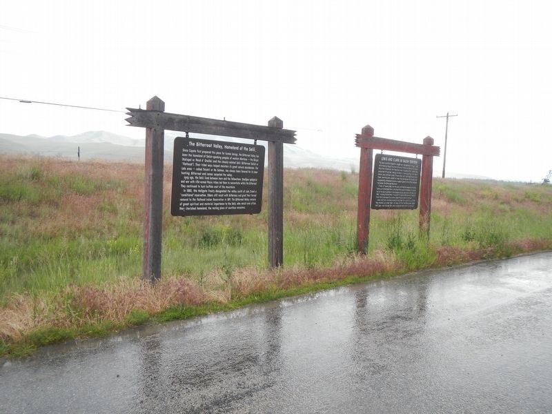
The marker is on the left.
More about this marker. It is currently sitting on the ground because the wooden posts holding it are broken, likely due to age.
Credits. This page was last revised on November 18, 2019. It was originally submitted on September 17, 2018, by Barry Swackhamer of Brentwood, California. This page has been viewed 909 times since then and 67 times this year. Last updated on November 18, 2019, by Susan Doverspike of Stevensville, Montana. Photos: 1, 2. submitted on September 17, 2018, by Barry Swackhamer of Brentwood, California.
