Coventry in Summit County, Ohio — The American Midwest (Great Lakes)
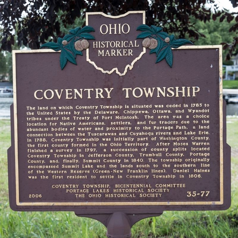
Coventry Township / Portage Lakes
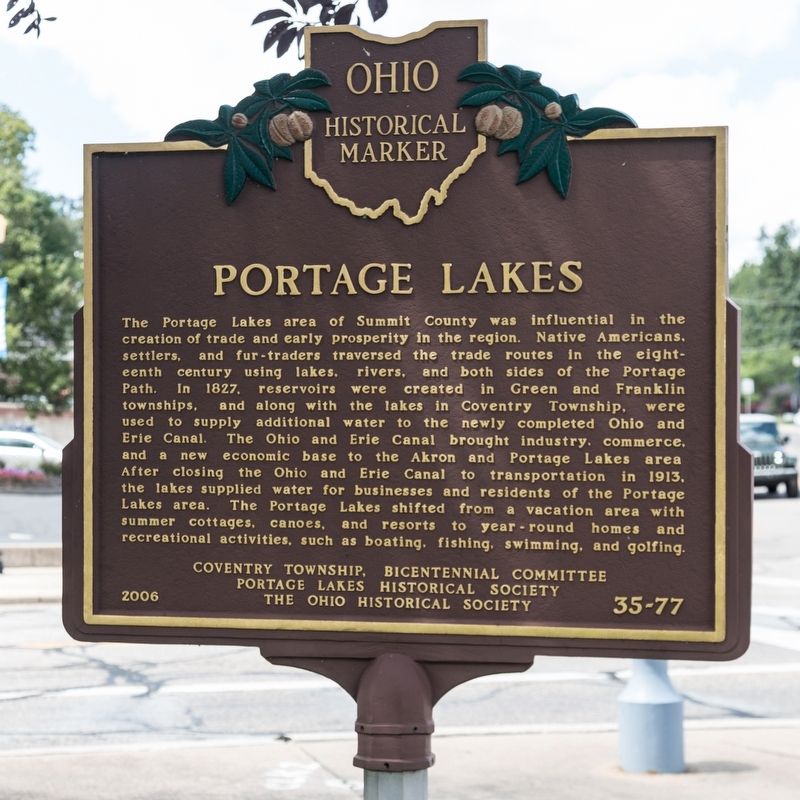
The Portage Lakes area of Summit County was influential in the creation of trade and early prosperity in the region. Native Americans, settlers, and fur-traders traversed the trade routes in the eighteenth century using lakes, rivers, and both sides of the Portage Path. In 1827, reservoirs were created in Green and Franklin townships, and along with the lakes in Coventry Township, were used to supply additional water to the newly completed Ohio and Erie Canal. The Ohio and Erie Canal brought industry, commerce, and a new economic base to the Akron and Portage Lakes area. After closing the Ohio and Erie Canal to transportation in 1913, the lakes supplied water for businesses and residents of the Portage Lake area. The Portage Lakes shifted from a vacation area with summer cottages, canoes, and resorts to year-round homes and recreational activities such as boating, fishing, swimming and golfing.
Erected 2006 by Coventry Township, Bicentennial Committee, Portage lakes Historical Society and The Ohio Historical Society. (Marker Number 35-77.)
Topics and series. This historical marker is listed in these topic lists: Natural Features • Settlements & Settlers • Waterways & Vessels. In addition, it is included in the Ohio Historical Society / The Ohio History Connection series list. A significant historical year for this entry is 1785.
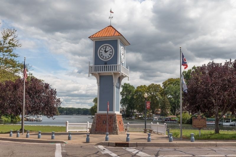
Location. 40° 59.685′ N, 81° 31.841′ W. Marker is in Coventry, Ohio, in Summit County. Marker is at the intersection of Portage Lakes Drive (County Route 75) and South Turkeyfoot Road (County Route 123), on the right when traveling east on Portage Lakes Drive. It is at the clock tower at the west end of the East Reservoir. Touch for map. Marker is in this post office area: Akron OH 44319, United States of America. Touch for directions.
Other nearby markers. At least 8 other markers are within 5 miles of this marker, measured as the crow flies. Colt Barn (approx. 2.6 miles away); Main Gatehouse of Ohio C. Barber’s Anna Dean Farm (approx. 3.3 miles away); Anna Dean Farm (approx. 3.4 miles away); Ohio Columbus Barber (approx. 4.4 miles away); Glenn "Jeep" Davis (approx. 4.4 miles away); Staff Sergeant Howard E. Woodford (approx. 4˝ miles away); Barberton Military Honor Roll (approx. 4˝ miles away); The Freedom Tree (approx. 4˝ miles away).
Also see . . . Wikipedia entry for Portage Lakes. Excerpt:
The Portage Lakes are a group of glacial kettle lakes and reservoirs in Northeast Ohio. The name comes from an old Indian portage path that connected the Cuyahoga River flowing north to Lake Erie and the Tuscarawas River, a tributary of the Muskingum River, which flows south to the Ohio River. This proved advantageous for the Indians and early settlers as navigation from Lake Erie to the Ohio was possible with only an eight-mile portage. Portage Lakes State Park lies at one of the highest points of the state and on a major watershed divide in Ohio. Some water from the lakes reaches Lake Erie and some flows to the Ohio River.(Submitted on November 19, 2019.)
Credits. This page was last revised on November 19, 2019. It was originally submitted on November 18, 2019, by J. J. Prats of Powell, Ohio. This page has been viewed 463 times since then and 61 times this year. Photos: 1, 2. submitted on November 18, 2019, by J. J. Prats of Powell, Ohio. 3. submitted on November 19, 2019, by J. J. Prats of Powell, Ohio.


