Glenbeigh
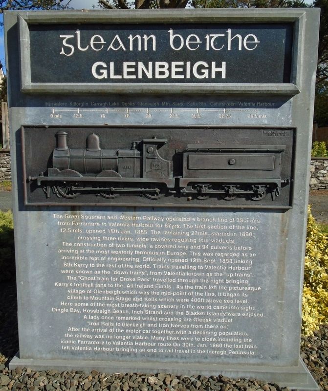
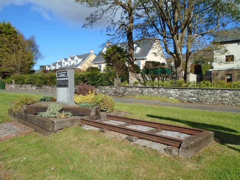
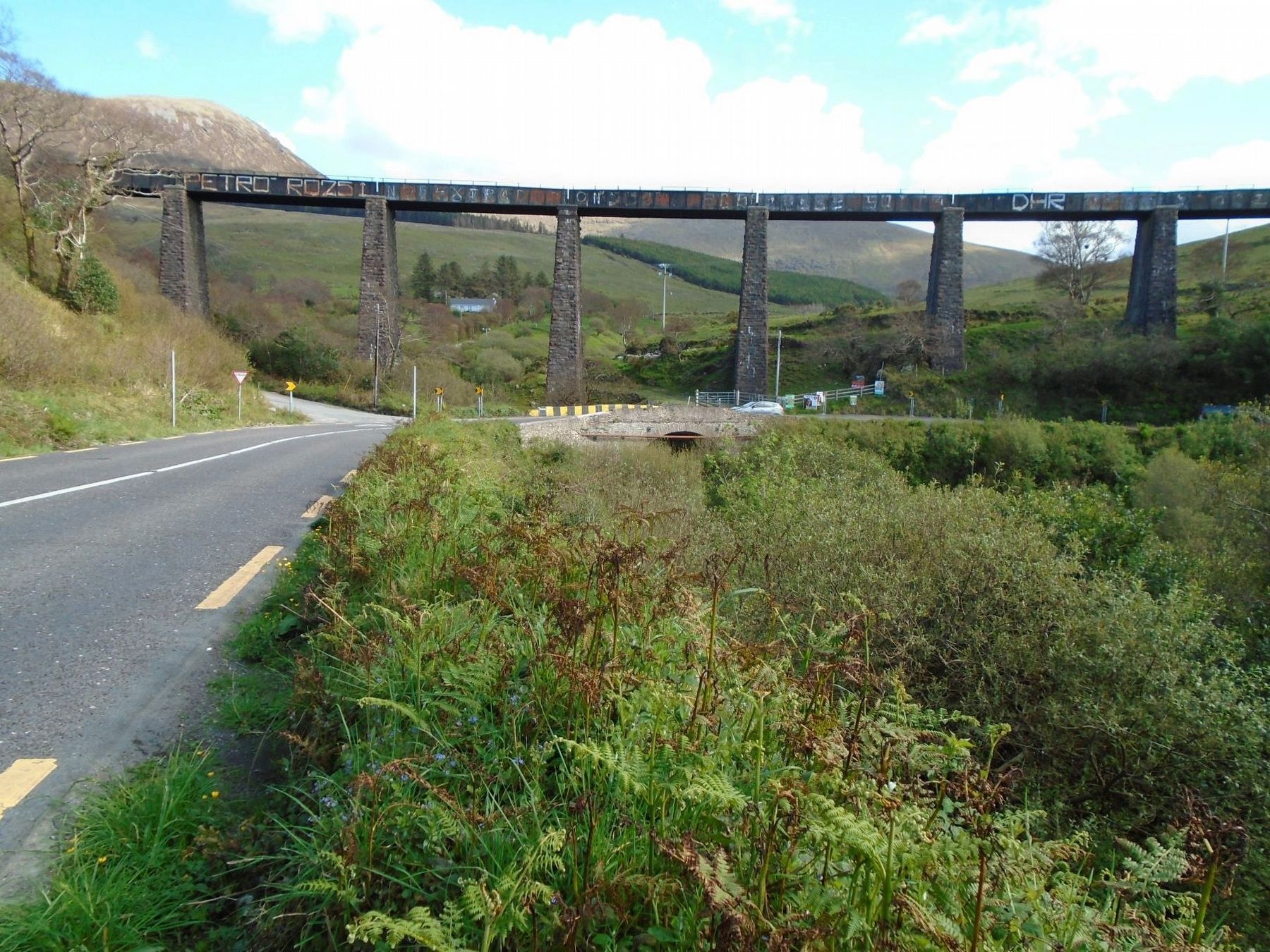
The Great Southern and Western Railway operated a branch line of 39.5 mls. from Farranfore to Valentia Harbour for 67 yrs. The first section of the line, 12.5 mls. opened 15th Jan. 1885. The remaining 27mls. started in 1890; crossing three rivers, wide ravines requiring four viaducts[, t]he construction of two tunnels, a covered way and 94 culverts before arriving at the most westerly terminus in Europe. This was regarded as an incredible feat of engineering. Officially opened 12th. Sept. 1893 linking Sth. Kerry to the rest of the world. Trains travelling to Valentia Harbour were known as the "down trains", from Valentia known as the "up trains". The "Ghost Train for Croke Park" travelled through the night bringing Kerry's football fans to the All Ireland Finals. As the train left the picturesque village of Glenbeigh, which was the mid-point of the line, it began its climb to Mountain Stage and Kells which were 400ft above sea level. Here some of the most breath-taking scenery in the world came into sight. Dingle Bay, Rossbeigh Beach, Inch Strand and the Blasket Islands were enjoyed. A lady once remarked whilst crossing the Gleesk viaduct "Iron Rails to Glenbeigh and Iron Nerves from there on." After the arrival of the motor car together with a declining population, the railway was no longer viable. Many lines were to close, including
the iconic Farranfore to Valentia Harbour route. On 30th. Jan. 1960 the last train left Valentia Harbour bringing an end to rail travel in the Iveragh Peninsula.Topics. This historical marker is listed in these topic lists: Bridges & Viaducts • Man-Made Features • Railroads & Streetcars. A significant historical date for this entry is January 15, 1885.
Location. 52° 3.292′ N, 9° 56.652′ W. Marker is in Glenbeigh, Munster, in County Kerry. Marker is at the intersection of Ring of Kerry (National Route N70) and Munster Route R564, on the right when traveling east on Ring of Kerry. Touch for map. Touch for directions.
Other nearby markers. At least 6 other markers are within 14 kilometers of this marker, measured as the crow flies. John Golden and the South Kerry Fenians (approx. 11.5 kilometers away); Townsend Blennerhassett (approx. 12.3 kilometers away); The Ballykissane Drowning Tragedy: Good Friday 1916 (approx. 12.4 kilometers away); The Ballykissane Tragedy: Good Friday 1916 (approx. 12.4 kilometers away); Tom Crean (approx. 13.2 kilometers away); Jerome Connor (approx. 13.2 kilometers away).
Also see . . . Farranfore to Valencia Harbour Railway at Wikipedia. (Submitted on November 18, 2019, by William Fischer, Jr. of Scranton, Pennsylvania.)
Credits. This page was last revised on November 18, 2019. It was originally submitted on November 18, 2019, by William Fischer, Jr. of Scranton, Pennsylvania. This page has been viewed 146 times since then and 16 times this year. Photos: 1, 2, 3. submitted on November 18, 2019, by William Fischer, Jr. of Scranton, Pennsylvania.


