Poughkeepsie in Dutchess County, New York — The American Northeast (Mid-Atlantic)
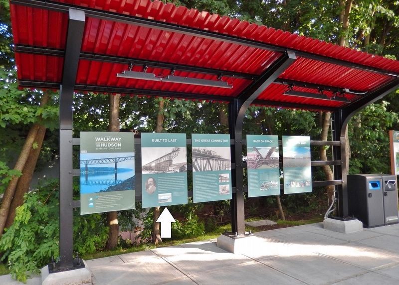
Built to Last
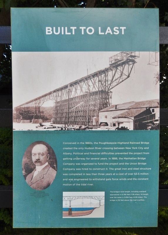
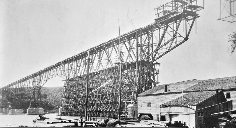
Conceived in the 1860s, the Poughkeepsie-Highland Railroad Bridge created the only Hudson River crossing between New York City and Albany. Political and financial difficulties prevented the project from getting underway for several years. In 1886, the Manhattan Bridge Company was organized to fund the project and the Union Bridge Company was hired to construct it. The great iron and steel structure was completed in less than three years at a cost of over $3.5 million and was engineered to withstand gale force winds and the constant motion of the tidal river.
Erected by New York State Office of Parks, Recreation and Historic Preservation.
Topics. This historical marker is listed in these topic lists: Bridges & Viaducts • Man-Made Features. A significant historical year for this entry is 1886.
Location. 41° 42.69′ N, 73° 55.627′ W. Marker is in Poughkeepsie, New York, in Dutchess County. Marker can be reached from Parker Avenue (New York State Route 9G) 0.2 miles east of Washington Street (New York State Route 9G), on the left when traveling east. Marker is located near the east end of the bridge trail in Walkway Over the Hudson State Historic Park. Touch for map. Marker is at or near this postal address: 61 Parker Avenue, Poughkeepsie NY 12601, United States of America. Touch for directions.
Other nearby markers. At least 8 other markers are within walking distance of this marker. The Great Connector (here, next to this marker); Walkway Over the Hudson State Historic Park (here, next to this marker); Back on Track (here, next to this marker); The River that Flows Both Ways (here, next to this marker); Signal Towers (approx. 0.2 miles away); Nearly 3000 Men (approx. 0.2 miles away); General Casimir Pulaski (approx. 0.2 miles away); May 8th, 1974 (approx. 0.2 miles away). Touch for a list and map of all markers in Poughkeepsie.
More about this marker. There is an identical marker located 1.5 miles west, at the west end of the bridge trail, in Highland, Ulster County, New York.
Related markers. Click here for a list of markers that are related to this marker. Poughkeepsie-Highland Railroad Bridge
Also see . . .
1. Poughkeepsie-Highland Bridge. American Society of Civil Engineers website entry:
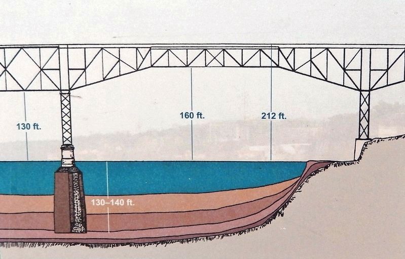
The bridge opened for railroad traffic in 1889 and at the time had the longest simple span, 525 ft., truss as well as the longest cantilever span 548 ft. in the United States. The false work required on the mid river anchor spans was the highest undertaken at that time. With the track level 212 ft. above the river along with a deep river and soft river bottom the height of false work from pile tip to working level was 340 ft. With a total length of 6,767 ft., it was for a short time the longest bridge in the world. (Submitted on November 19, 2019, by Cosmos Mariner of Cape Canaveral, Florida.)
2. The Poughkeepsie-Highland Railroad Bridge. Walkway over the Hudson website entry:
3. Poughkeepsie Railroad Bridge - National Archives. National Register of Historic Places documentation (Submitted on January 29, 2024, by Anton Schwarzmueller of Wilson, New York.)
Credits. This page was last revised on January 29, 2024. It was originally submitted on November 19, 2019, by Cosmos Mariner of Cape Canaveral, Florida. This page has been viewed 163 times since then and 16 times this year. Photos: 1, 2, 3, 4, 5. submitted on November 19, 2019, by Cosmos Mariner of Cape Canaveral, Florida.
