Scotts Hill in Henderson County, Tennessee — The American South (East South Central)
Scotts Hill
Riding Through Scotts Hill
| — | Forrest's First West Tennessee Raid | — |
Photographed by David Austin, circa 2016
1. Scotts Hill Marker
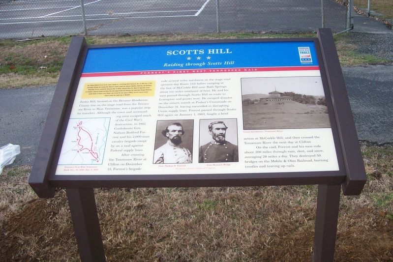
Gen. Nathan Bedford Forrest led his cavalry brigade on a raid through West Tennessee, Dec 15, 1862-Jan 3, 1863, destroying railroads and severing Gen. Ulysses S. Grant's supply line between Columbus, Kentucky, and Vicksburg, Mississippi. Forrest crossed the Tennessee River at Clifton, defeated Union Col. Robert G. Ingersoll's cavalry at Lexington, captured Trenton and Union City, and ranged briefly into Kentucky. He raided back through Tennessee, evaded defeat at Parker’s Cross Roads, and crossed the river again at Clifton. Forrest’s success forced Grant to switch his supply base to Memphis.
(main text)
Scotts Hill, located on the Decatur-Henderson County line on the stage road from the Tennessee River to West Tennessee, was a popular stop for travelers. Although the town and surrounding area escaped much of the Civil War’s destruction, in 1862 Confederate Gen. Nathan Bedford Forrest and his cavalry brigade swept by on a raid against Federal supply lines.
After crossing the Tennessee River at Clifton on December 15, Forrest’s brigade rode several miles northwest on the stage road (present-day Route 114)
this page online
On the raid, Forrest and his men rode about 300 miles through rain, sleet, and snow, averaging 20 miles a day. They destroyed 50 bridges on the Mobile & Ohio Railroad, burning trestles and tearing up rails.
(captions)
Forrest's First West Tennessee Raid, Dec. 15, 1862—Jan. 3, 1863
Gen. Nathan Bedford Forrest
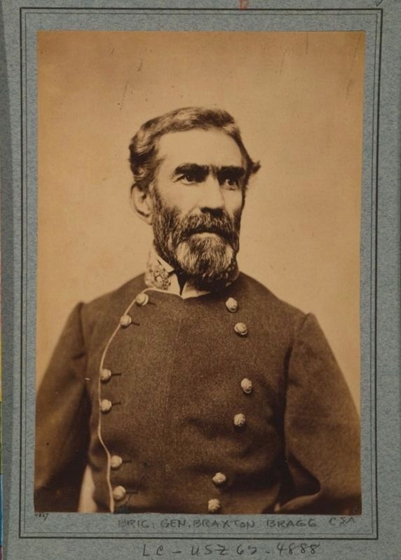
Gen. Braxton Bragg
All photos courtesy Library of Congress
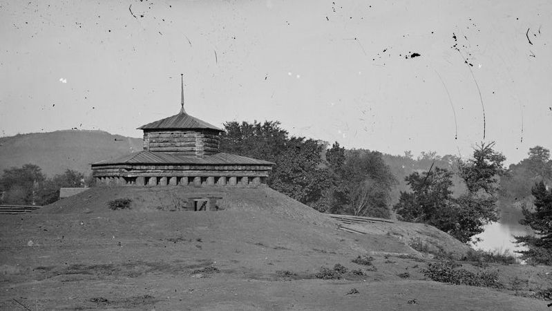
Union blockhouse, Tennessee River
Erected by Tennessee Civil War Trails.
Topics and series. This historical marker is listed in this topic list: War, US Civil. In addition, it is included in the Tennessee Civil War Trails series list. A significant historical date for this entry is December 15, 1862.
Location. 35° 31.361′ N,
Photographed by David Austin, circa 2016
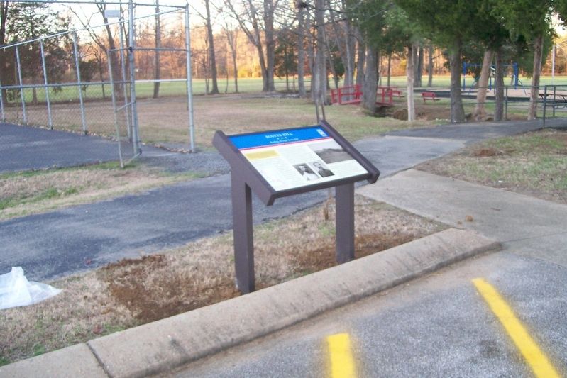
2. Scotts Hill Marker

Regionally, this marker is in West Tennessee. It is also in the American South and specifically in the Upper South. Globally, it is in North America, the Western Hemisphere, the Western World, and the Anglosphere. Historically, it finds itself in what was once the territory of the Mississippian Culture, one of the Confederate States of America, and the Antebellum South.
Other nearby markers. At least 8 other markers are within walking distance of this marker: Veterans Monument (about 300 feet away, measured in a direct line); Scotts Hill Cemetery (approx. 0.3 miles away); Micager "Cager" Scott Store Site (approx. 0.3 miles away); Reverend R. Swift (approx. 0.3 miles away); 116 Highway 114 (approx. half a mile away); 110 Highway 114 South (approx. half a mile away); 106 Highway 114 South
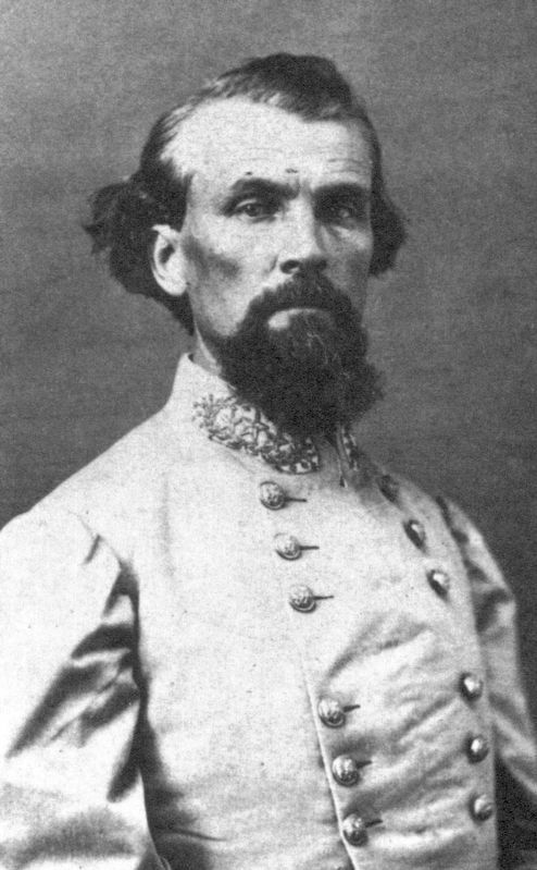
3. Gen. Nathan Bedford Forrest
Related marker. Click here for another marker that is related to this marker.
circa 1865
4. Gen. Braxton Bragg
Library of Congress [LC-USZC4-7984]
circa 1865
5. Tennessee River. Blockhouse on the bank
Library of Congress [LC-DIG-cwpb-02151]
Credits. This page was last revised on November 19, 2019. It was originally submitted on November 18, 2019, by David Austin of Scotts Hill, Tennessee. This page has been viewed 1,944 times since then and 69 times this year. Last updated on November 19, 2019, by David Austin of Scotts Hill, Tennessee. Photos: 1, 2. submitted on November 18, 2019, by David Austin of Scotts Hill, Tennessee. 3, 4, 5. submitted on November 18, 2019. • Devry Becker Jones was the editor who published this page.
