Chinook in Blaine County, Montana — The American West (Mountains)
The Battle of Bears Paw
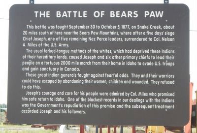
Photographed by Barry Swackhamer, August 15, 2019
1. The Battle of Bears Paw Marker
This battle was fought September 30 to October 5, 1877, on Snake Creek, about 20 miles south of here near the Bears Paw Mountains, where after five days days' siege Chief Joseph, one of five remaining Nez Perce leaders, surrendered to Col. Nelson A. Miles of the U.S. Army.
The usual forked-tongue methods of the whites, which had deprived these Indians of their hereditary lands, caused Joseph and six other primary chiefs to lead their people on a tortuous 2000 mile march from their home in Idaho to evade U.S. troops and gain sanctuary in Canada.
These great Indian generals fought against fearful odds. They and their warriors could have escaped by abandoning their women, children and wounded. They refused to do this. Joseph's courage and care for this people were admired by Col. Miles who promised him safe return to Idaho. One of the blackest records in our dealing with the Indians was the Government's repudiation of this promise and the subsequent treatment accorded Joseph and his followers.
Erected by Montana Department of Transportation.
Topics and series. This historical marker is listed in these
this page online
Location. 48° 35.726′ N, 109° 14.378′ W. Marker is in Chinook, Montana, in Blaine County. It is on 1st Street (U.S. 2) near Cleveland Road West, on the right when traveling east. Touch for map. Marker is at or near this postal address: 40330 U.S Highway 2, Chinook MT 59523, United States of America. Touch for directions.

Regionally, this marker is in Missouri River Country. It is also in the American Mountain West, in the Lewis & Clark Corridor, on the prairies, on the Great Plains, and specifically on the Northern Plains. Globally, it is in North America, the Western Hemisphere, the Western World, and the Anglosphere. Historically, it finds itself in what was once Rupert’s Land and also the Louisiana Purchase.
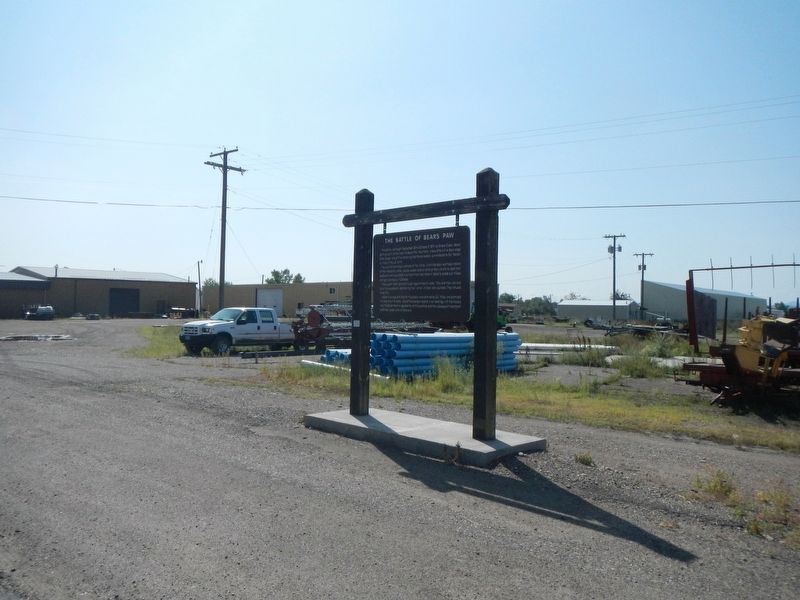
Photographed by Barry Swackhamer, August 15, 2019
2. The Battle of Bears Paw Marker
Credits. This page was last revised on December 27, 2024. It was originally submitted on November 20, 2019, by Barry Swackhamer of Brentwood, California. This page has been viewed 1,017 times since then and 102 times this year. Photos: 1, 2. submitted on November 20, 2019, by Barry Swackhamer of Brentwood, California.
