Near Chinook in Blaine County, Montana — The American West (Mountains)
Surrender of Chief Joseph
Photographed by Barry Swackhamer, August 15, 2019
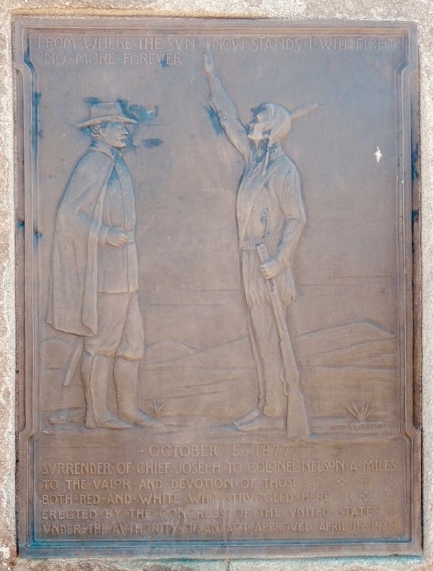
1. Surrender of Chief Joseph Marker
October 5 1877
Surrender of Chief Joseph to Colonel Nelson A Miles
To the valor and devotion of those both red and white who struggled here
Erected by the Congress of the United States
Under the authority of an Act approved April 15, 1930
Erected 1930 by U.S. Congress.
Topics and series. This historical marker is listed in this topic list: Wars, US Indian. In addition, it is included in the National Historic Landmarks, and the The Nez Perce Trail series lists. A significant historical date for this entry is October 5, 1877.
Location. 48° 22.682′ N, 109° 12.73′ W. Marker is near Chinook, Montana, in Blaine County. It is on Cleveland Road (County Road 240) near S-B Road, on the left when traveling north. Touch for map. Marker is in this post office area: Chinook MT 59523, United States of America. Touch for directions.

Regionally, this marker is in Montana’s Missouri River Country. It is also in the American Mountain West, in the Lewis & Clark Corridor, on the prairies, on the Great Plains, and specifically on the Northern Plains. Globally,
this page online
Other nearby markers. At least 8 other markers are within walking distance of this marker: Bear's Paw Battleground (here, next to this marker); Bear Paw Battlefield (a few steps from this marker); Nez Perce National Historical Park (a few steps from this marker); ćáynim?a•lika?spe (a few steps from this marker); Last Battle (a few steps from this marker); Nez Perce Encampment (about 500 feet away, measured in a direct line); Chief Joseph’s Surrender (about 700 feet away); Soldier Burials (approx. 0.2 miles away). Touch for a list and map of all markers in Chinook.
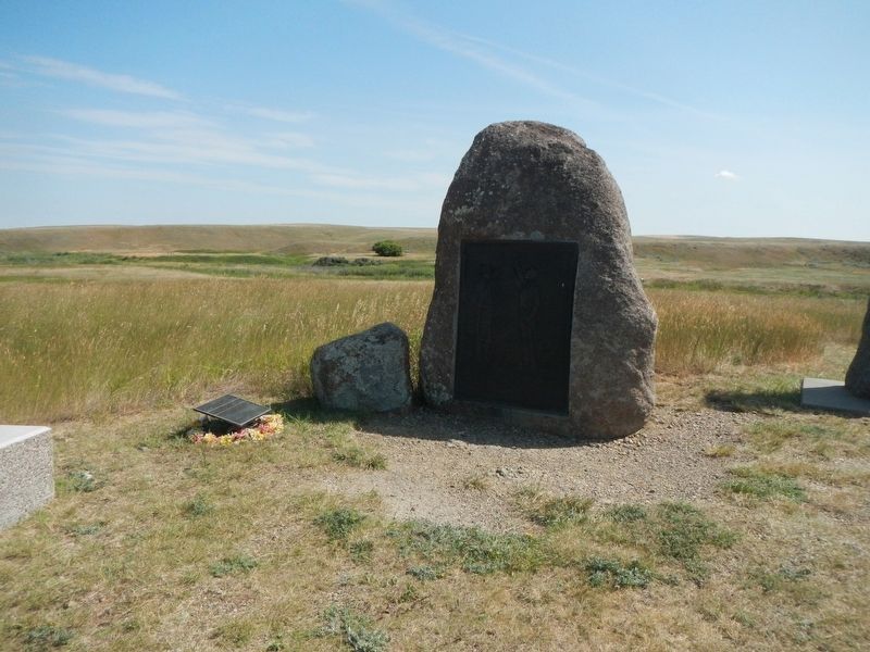
More about this marker. This markers is located near the Bear Paw Battlefield parking lot.
Photographed by Barry Swackhamer, August 15, 2019
2. Surrender of Chief Joseph Marker
Photographed by Barry Swackhamer, August 15, 2019
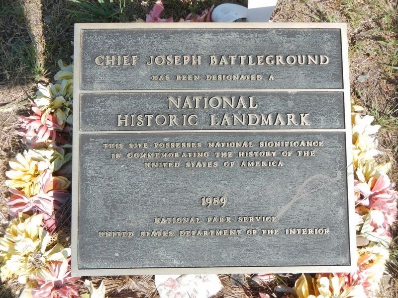
3. Chief Joseph Battleground
National Historic Landmark
This site possesses national significance in commemorating the history of the United States of America
1989
National Park Service
United States Department of the Interior
(located next to the Surrender of Chief Joseph monument)
Credits. This page was last revised on November 20, 2019. It was originally submitted on November 20, 2019, by Barry Swackhamer of Brentwood, California. This page has been viewed 638 times since then and 63 times this year. Photos: 1, 2, 3. submitted on November 20, 2019, by Barry Swackhamer of Brentwood, California.
