History of Adare Methodist Church
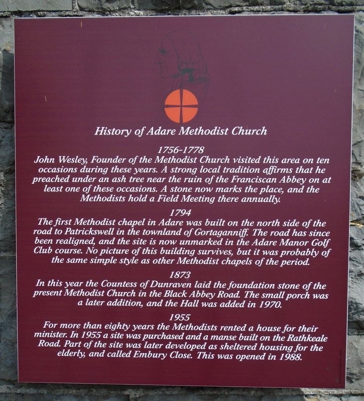
John Wesley, Founder of the Methodist Church visited this area on ten occasions during these years. A strong local tradition affirms that he preached under an ash tree near the ruin of the Franciscan Abbey on at least one of these occasions. A stone now marks the place, and the Methodists hold a Field Meeting there annually.
1794
The first Methodist chapel in Adare was built on the north side of the road to Patrickswell in the townland of Gortaganniff. The road has since been realigned, and the site is now unmarked in the Adare Manor Golf Club course. No picture of this building survives, but it was probably of the same simple style as other Methodist chapels of the period.
1873
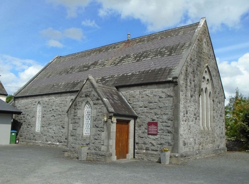
In this year the Countess of Dunraven laid the foundation stone of the present Methodist Church in the Black Abbey Road. The small porch was a later addition, and the Hall was added in 1970.
1955
For more than eighty years the Methodists rented a house for their minister. In 1955 a site was purchased and a manse built on the Rathkeale Road. Part of the site was later developed as sheltered housing for the elderly, and called Embury Close. This was opened in 1988.
Topics. This historical marker is listed in these topic lists: Charity & Public Work • Churches & Religion • Man-Made Features. A significant historical year for this entry is 1794.
Location. 52° 33.835′ N, 8° 47.632′ W. Marker is in Adare, Munster, in County Limerick. Marker is on Black Abbey Road (Local Route 1422) 0.1 kilometers west of Rathkeale Road (National Route N21), on the right when traveling west. Touch for map. Marker is in this post office area: Adare, Munster V94 TW83, Ireland. Touch for directions.
Other nearby markers. At least 6 other markers are within walking distance of this marker. Estate and Houses of Adare / Eastát agus Tithe Áth Dara (about 210 meters away, measured in a direct line); Washing Pool / Linn Níocháin (approx. 0.2 kilometers away); Countess Dunraven Fountain (approx. 0.3 kilometers away); Trinitarian Monastery / Mainistir Ord na Tríonóide (approx. 0.3 kilometers away); Richard, First Earl of Dunraven (approx. 0.7 kilometers away); Augustinian Friary / Mainistir na nAgaistíneach (approx. 0.8 kilometers away).
Also see . . .
1. Adare and Ballintrane Methodists Churches. (Submitted on November 20, 2019, by William Fischer, Jr. of Scranton, Pennsylvania.)
2. Adare Methodist Church History. (Submitted on November 20, 2019, by William Fischer, Jr. of Scranton, Pennsylvania.)
Credits. This page was last revised on November 20, 2019. It was originally submitted on November 20, 2019, by William Fischer, Jr. of Scranton, Pennsylvania. This page has been viewed 148 times since then and 14 times this year. Photos: 1, 2. submitted on November 20, 2019, by William Fischer, Jr. of Scranton, Pennsylvania.

