Jerseyville in Jersey County, Illinois — The American Midwest (Great Lakes)
The Red House
⎯⎯⎯
Cheney Mansion
Photographed by Jason Voigt, November 17, 2019
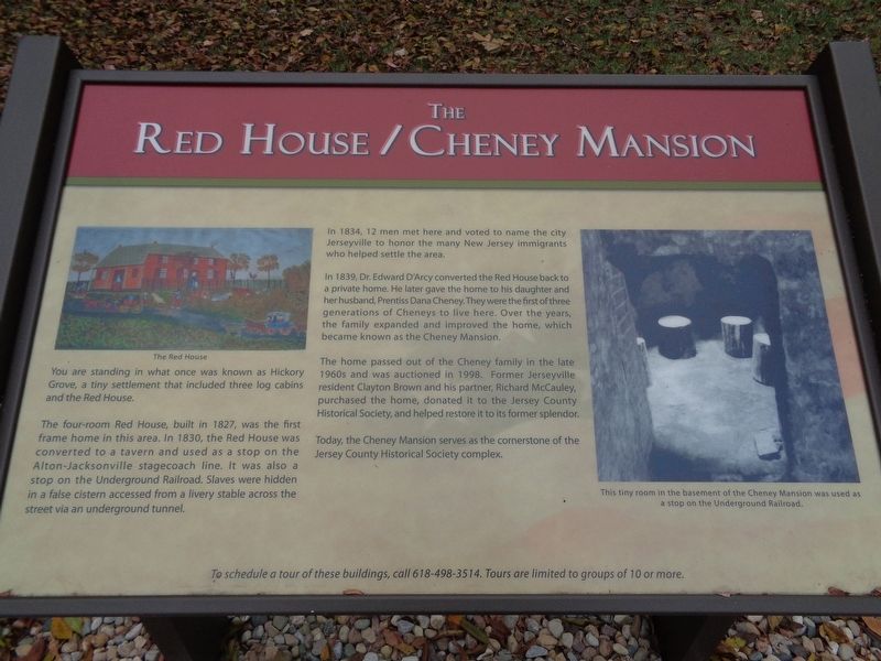
1. The Red House/Cheney Mansion Marker
You are standing in what once was known as Hickory Grove, a tiny settlement that included three log cabins and the Red House.
The four-room Red House, built in 1827, was the first frame home in this area. In 1830, the Red House was converted to a tavern and used as a stop on the Alton-Jacksonville stagecoach line. It was also a stop on the Underground Railroad. Slaves were hidden in a false cistern accessed from a livery stable across the street via an underground tunnel.
In 1834, 12 men met here and voted to name the city Jerseyville to honor the many New Jersey immigrants who helped settle the area.
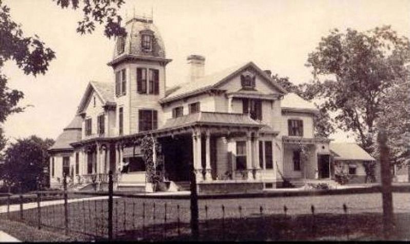
In 1839, Dr. Edward D'Arcy converted the Red House back to a private home. He later gave the home to his daughter and her husband, Prentiss Dana Cheney. They were the first of three generations of Cheneys to live here. Over the years, the family expanded and improved the home, which became known as the Cheney Mansion.
The home passed out of the Cheney family in the late 1960s and was auctioned in 1998. Former Jerseyville resident Clayton Brown and his partner, Richard McCauley, purchased the home, donated it
this page online
Today, the Cheney Mansion serves as the cornerstone of the Jersey County Historical Society complex.
Erected 2017 by Jersey County Historical Society.
Topics. This historical marker is listed in these topic lists: Abolition & Underground RR • Industry & Commerce • Settlements & Settlers. A significant historical year for this entry is 1827.
Location. 39° 7.409′ N, 90° 19.798′ W. Marker is in Jerseyville, Illinois, in Jersey County. It can be reached from the intersection of North State Street (U.S. 67) and County Road 1350N, on the right when traveling north. Touch for map. Marker is at or near this postal address: 601 North State Street, Jerseyville IL 62052, United States of America. Touch for directions.

Regionally, this marker is in the Illinois River Valley. It is also in the American Midwest, in the Corn Belt, and in the Great River Road Region. Globally, it is in North America, the Western Hemisphere, the Western World, and the Anglosphere. Historically, it finds itself in what was once the territory of the Mississippian
Other nearby markers. At least 8 other markers are within walking distance of this marker: The Lone Star School (within shouting distance of this marker); The McAdams, Plummer & Hagen Cabins (about 300 feet away, measured in a direct line); The Hathaway Cemetery Memorial (about 400 feet away); The Union Forest Church (about 400 feet away); Our Gargoyles are Missing (approx. 0.3 miles away); Jersey County War Memorial (approx. 0.3 miles away); The National (approx. 0.3 miles away); G. A. R. No. 295 (approx. 0.3 miles away). Touch for a list and map of all markers in Jerseyville.
Photographed by Jason Voigt, November 17, 2019
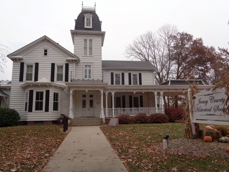
3. The Red House/Cheney Mansion Marker
Marker is in front of the Cheney Mansion and near the Jersey County Historical Society sign from the road
Photographed by Jason Voigt, November 17, 2019
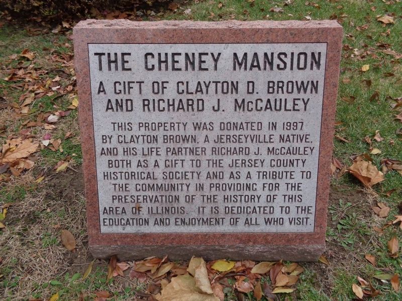
4. The Red House/Cheney Mansion Marker
Neighboring marker, next to the Red House/Cheney Mansion marker
Credits. This page was last revised on August 13, 2022. It was originally submitted on November 20, 2019, by Jason Voigt of Glen Carbon, Illinois. This page has been viewed 1,043 times since then and 84 times this year. Photos: 1. submitted on November 20, 2019, by Jason Voigt of Glen Carbon, Illinois. 2. submitted on August 13, 2022, by Larry Gertner of New York, New York. 3, 4. submitted on November 20, 2019, by Jason Voigt of Glen Carbon, Illinois. • Devry Becker Jones was the editor who published this page.
