Near Chinook in Blaine County, Montana — The American West (Mountains)
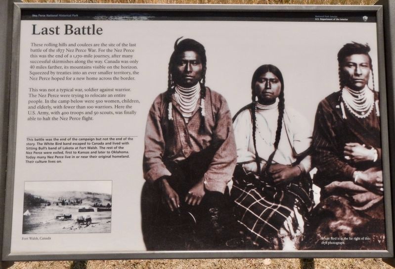
Last Battle
Inscription.
These rolling hills and coulees are the site of the last battle of the 1877 Nez Perce War. For the Nez Perce this was the end of a 1,170-mile journey, after many successful skirmishes along the way. Canada was only 40 miles farther, its mountains visible on the horizon. Squeezed by treaties into an ever smaller territory, the Nez Perce hoped for a new home across the border.
This was not a typical war, soldier against warrior. The Nez Perce were trying to relocate an entire people. In the camp below were 500 women, children, and elderly, with fewer than 100 warriors. Here the U.S. Army, with 400 troops and 50 scouts, was finally able to halt the Nez Perce flight.
This battlefield was the end of the campaign but not the end of the story. The White Bird band escaped to Canada and lived with Sitting Bull's band of Lakota at Fort Walsh. The rest of the Nez Perce were exiled, first to Kansas and later to Oklahoma. Today many Nez Perce live in or near their original homeland. Their culture lives on.
Erected by National Park Service, U.S. Department of the Interior.
Topics and series. This historical marker is listed in these topic lists: Native Americans • Wars, US Indian. In addition, it is included in the The Nez Perce Trail series list.
Location. 48° 22.676′ N, 109° 12.724′ W. Marker is near Chinook, Montana, in Blaine County. Marker is on Cleveland Road (County Road 240) near S-B Road, on the left when traveling south. Touch for map. Marker is in this post office area: Chinook MT 59523, United States of America. Touch for directions.
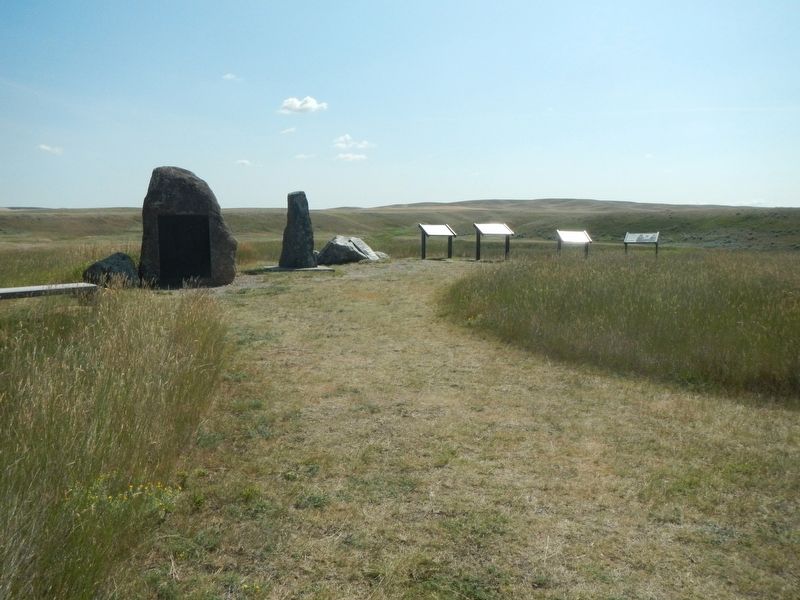
Other nearby markers. At least 8 other markers are within walking distance of this marker. Bear Paw Battlefield (here, next to this marker); Nez Perce National Historical Park (here, next to this marker); ćáynim?a•lika?spe (here, next to this marker); Bear's Paw Battleground (here, next to this marker); Surrender of Chief Joseph (a few steps from this marker); Nez Perce Encampment (about 500 feet away, measured in a direct line); Chief Joseph’s Surrender (about 700 feet away); Soldier Burials (approx. 0.2 miles away). Touch for a list and map of all markers in Chinook.
More about this marker. This markers is located near the Bear Paw Battlefield parking lot.
Credits. This page was last revised on November 21, 2019. It was originally submitted on November 21, 2019, by Barry Swackhamer of Brentwood, California. This page has been viewed 256 times since then and 28 times this year. Photos: 1, 2. submitted on November 21, 2019, by Barry Swackhamer of Brentwood, California.

