Near Chinook in Blaine County, Montana — The American West (Mountains)
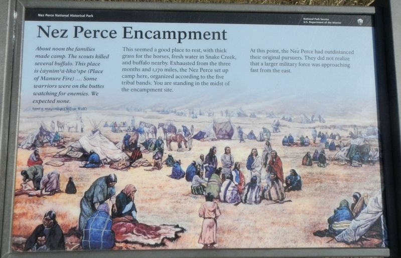
Nez Perce Encampment
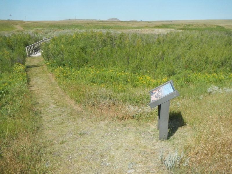
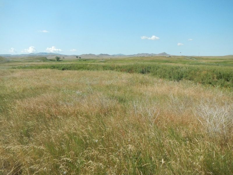
This seemed a good place to rest, with thick grass for horses, fresh water in Snake Creek, and buffalo nearby. Exhausted from the three months and 1,170 miles, the Nez Perce set up camp here, organized accord to the five tribal bands. You are standing in the midst of the encampment site.
At this point, the Nez Perce had outdistanced their original pursuers. They did not realize that a larger military force was approaching fast from the east.
Erected by National Park Service, U.S. Department of the Interior.
Topics and series. This historical marker is listed in these topic lists: Native Americans • Wars, US Indian. In addition, it is included in the The Nez Perce Trail series list.
Location. 48° 22.711′ N, 109° 12.603′ W. Marker is near Chinook, Montana, in Blaine County. Marker can be reached from Cleveland Road (County Road 240) near S-B Road. Touch for map. Marker is in this post office area: Chinook MT 59523, United States of America. Touch for directions.
Other nearby markers. At least 8 other markers are within walking distance of this marker. Bear Paw Battlefield (about 500 feet away, measured in a direct line); Nez Perce National Historical Park (about 500 feet away); ćáynim?a•lika?spe (about 500 feet away); Last Battle (about 500 feet away); Bear's Paw Battleground (about 500 feet away); Surrender of Chief Joseph (about 500 feet away); Brave Warriors Chief Joseph's Band (about 600 feet away); McWhorter Stakes (about 600 feet away). Touch for a list and map of all markers in Chinook.
More about this marker. This marker is located on the Bear Paw Battlefield Trail. The trail is a loop, about 1 1/4 miles long, starting at the Bear Paw Battlefield parking lot.
Credits. This page was last revised on November 21, 2019. It was originally submitted on November 21, 2019, by Barry Swackhamer of Brentwood, California. This page has been viewed 206 times since then and 13 times this year. Photos: 1, 2, 3. submitted on November 21, 2019, by Barry Swackhamer of Brentwood, California.


