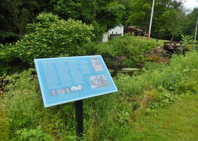
Near Phillipsport in Sullivan County, New York — The American Northeast (Mid-Atlantic)
History of the Canal
Delaware & Hudson Canal
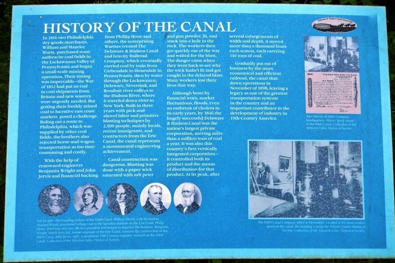
With the help of renowned engineers Benjamin Wright and John Jervis and financial backing from Phillip Hone and others, the enterprising Wurtses created The Delaware & Hudson Canal and Gravity Railroad Company, which eventually carried coal by train from Carbondale to Honesdale in Pennsylvania, then by water through the Lackawaxen, Delaware, Neversink, and Rondout river valleys to the Hudson River, where it traveled down river to New York. Built in three years with pick-and-shovel labor and primitive blasting techniques by 2,500 people, mainly locals, recent immigrants, and contractors from the Erie Canal, the canal represents a monumental engineering achievement.
Canal construction was dangerous. Blasting was done with a paper wick saturated with salt peter and gun powder, lit, and stuck into a hole in the rock. The workers then got quickly out of the way and waited for the blast. The danger came when they went back to see why the wick hadn't lit and got caught in the delayed blast. Many workers lost their lives that way.
Although beset by financial woes, market fluctuations, floods, even an outbreak of cholera in its early years, by 1846 the hugely successful Delaware & Hudson Canal was the nation's largest private corporation, moving more than a million tons of coal a year. It was also this country's first vertically integrated corporation — it controlled both its product and the means of distribution for that product. At its peak, after several enlargements of width and depth, it moved more than a thousand boats each season, each carrying 140 tons of coal.
Gradually put out of business by the more economical and efficient railroad, the canal shut down operations in November of 1898, leaving a legacy as one of the greatest transportation systems in the country and an important contributor to the development of industry in 19th-Century America.
Erected by Delaware & Hudson Canal Linear Park.
Topics. This historical marker is listed in these topic lists: Industry & Commerce • Man-Made Features • Waterways & Vessels. A significant historical year for this entry is 1816.
Location.

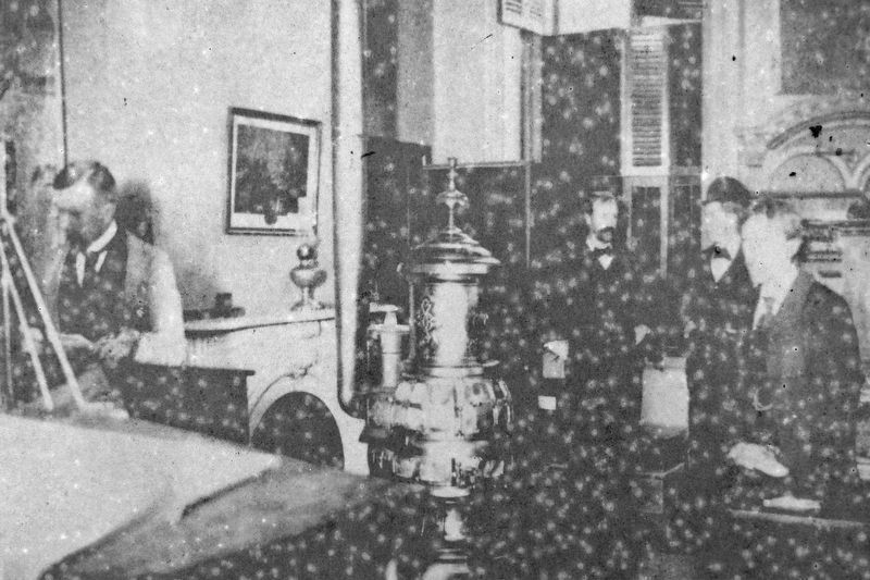
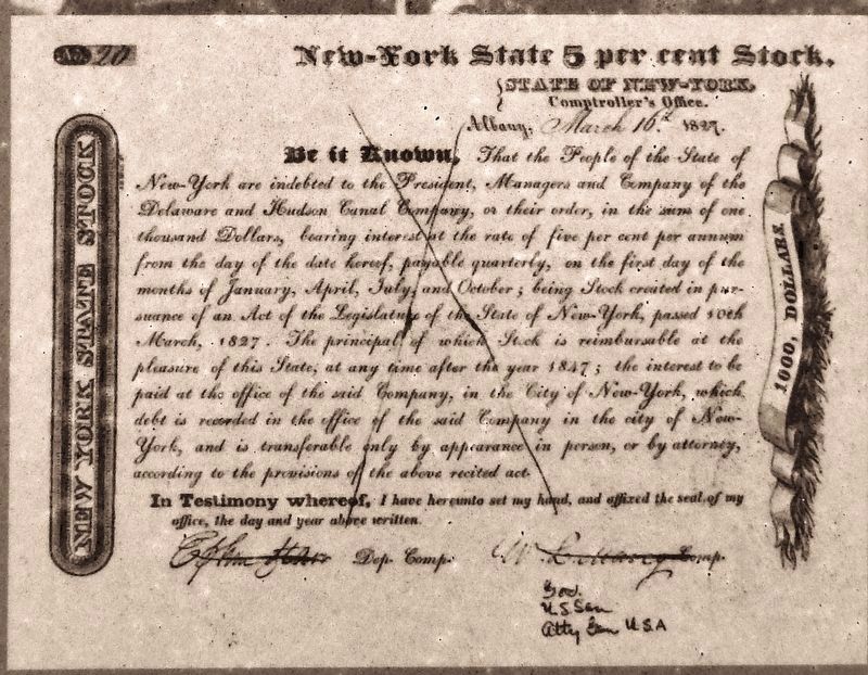
Collection of the Minisink Valley Historical Society
2. Marker detail: The founding fathers of the D&H Canal
Left to right: William Wurts, with his brother Maurice Wurts, envisioned selling coal to the lucrative markets on the East Coast. Philip Hone, third from left, was the first president and helped to organize the business. Benjamin Wright, fourth from left, former engineer of the Erie Canal, oversaw the construction of the D&H Canal. John Jervis, right, a prominent 19th-Century engineer, worked on the D&H Canal.
Other nearby markers. At least 8 other markers are within walking distance of this marker. Towpath (within shouting distance of this marker); Boothroyd House (within shouting distance of this marker); Life on the Canal (about 400 feet away, measured in a direct line); Waste Weirs (about 500 feet away); Locks (about 500 feet away); Canal Basin & Sluiceway (about 600 feet away); Dry Docks (about 600 feet away); Lock No. 50 (about 700 feet away). Touch for a list and map of all markers in Phillipsport.
Related markers. Click here for a list of markers that are related to this marker. Delaware & Hudson Canal
Also see . . .
1. Delaware & Hudson Canal Linear Park and Interpretive Center. This great engineering feat was the first private enterprise project in the United States to cost more than a million dollars to build. The project was first visualized by Maurice and William Wurts (the Village of Wurtsboro was named in their honor) and financed through the influence of Philip Hone (Honesdale named after him), the Mayor of New York. The canal was 108 miles long (Honesdale,
PA to Kingston, NY) and contained 108 locks, 22 aqueducts, 136 bridges, 22 reservoirs, 16 dams and 14 feeders. (Submitted on November 23, 2019, by Cosmos Mariner of Cape Canaveral, Florida.)
2. Delaware and Hudson Canal (Wikipedia). The Delaware and Hudson Canal was the first venture of the Delaware and Hudson Canal Company, which would later build the Delaware and Hudson Railway. Construction of the canal involved some major feats of civil engineering, and led to the development of some new technologies, particularly in rail transport. Unlike many other canals of that era, the canal remained a profitable private operation for most of its existence. For these reasons, the canal was declared a National Historic Landmark in 1968. (Submitted on November 22, 2019, by Cosmos Mariner of Cape Canaveral, Florida.)
Credits. This page was last revised on November 23, 2019. It was originally submitted on November 21, 2019, by Cosmos Mariner of Cape Canaveral, Florida. This page has been viewed 151 times since then and 11 times this year. Photos: 1. submitted on November 21, 2019, by Cosmos Mariner of Cape Canaveral, Florida. 2, 3, 4, 5. submitted on November 22, 2019, by Cosmos Mariner of Cape Canaveral, Florida.


