Port Tobacco in Charles County, Maryland — The American Northeast (Mid-Atlantic)
Port Tobacco: A Maryland Mosaic

Photographed By Devry Becker Jones (CC0), November 23, 2019
1. Port Tobacco: A Maryland Mosaic Marker
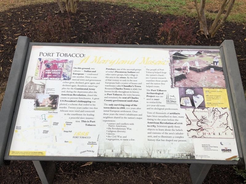
Potobac, one of the ancestral groups of today's Piscataway Indians and other native groups, had a village in this area in the 1600s. By the end of that century or early in the next Europeans built a scatter of houses and warehouses called Chandler's Town. Renamed Charles Town in 1727, but known locally throughout its history as Port Tobacco, the town became, and remained, the seat of Charles County government until 1896.
The only surviving map of the town dates to 1888, 200 years after initial European settlement. Over those years the town's inhabitants and neighbors shared in the nation's major experiences:
• contact and conflicts with Native Americans;
• the Revolutionary War;
• religious diversity;
• slavery;
• the Civil War; and
• segregation, to name a few.
The people of Port Tobacco helped forge the nation's character. Current research examines those people and the nation they helped create.
The Port Tobacco Archaeological Project was created in 2007 to research the 300-year-old town and its aboriginal predecessors.
Tens of thousands of artifacts have been unearthed to date, many dating to the years before the American Revolution of 1776 to 1783. Scientists study those objects to learn about the beliefs and customs of the area's inhabitants, and to illuminate a complex history that has shaped our present.
Erected by Maryland Heritage Area Authority.
Topics. This historical marker is listed in these topic lists: African Americans • Churches & Religion • Colonial Era • Settlements & Settlers. A significant historical year for this entry is 1727.
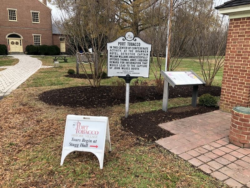
Location. 38° 30.676′ N, 77° 1.195′ W. Marker is in Port Tobacco, Maryland, in Charles County. Marker is on Commerce Street, 0.1 miles west of Chapel Point Road, on the right when traveling west. Touch for map. Marker is at or near this postal address: 8430 Commerce St, Port Tobacco MD 20677, United States of America. Touch for directions.
Other nearby markers. At least 8 other markers are within walking

Photographed By Devry Becker Jones (CC0), November 23, 2019
2. Port Tobacco: A Maryland Mosaic Marker
Credits. This page was last revised on July 18, 2020. It was originally submitted on November 23, 2019, by Devry Becker Jones of Washington, District of Columbia. This page has been viewed 392 times since then and 50 times this year. Photos: 1, 2. submitted on November 23, 2019, by Devry Becker Jones of Washington, District of Columbia.