Eastman in Dodge County, Georgia — The American South (South Atlantic)
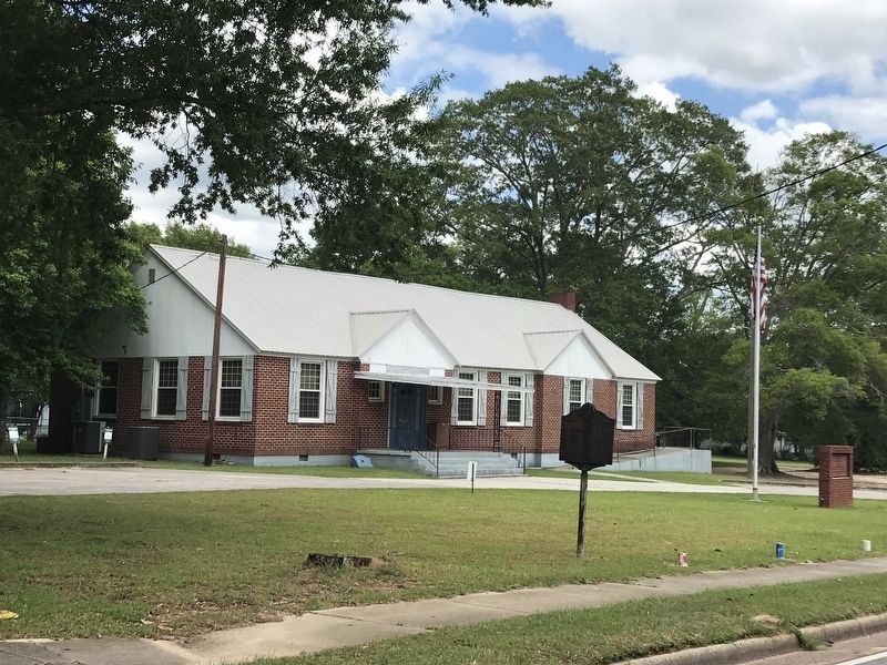
The Blackshear Road
Erected by Works Progress Administration. (Marker Number GA 87 F-6.)
Topics and series. This historical marker is listed in these topic lists: Roads & Vehicles • Settlements & Settlers • War of 1812. In addition, it is included in the Georgia Historical Society, and the Works Progress Administration (WPA) projects series lists. A significant historical year for this entry is 1815.
Location. 32° 12.247′ N, 83° 11.078′ W. Marker is in Eastman, Georgia, in Dodge County. Marker is on Oak Street / Golden Isles Highway (U.S. 23) 0 miles west of 12th Avenue, on the right when traveling west. The Marker is on the grounds of the American Legion Post in Eastman. Touch for map. Marker is in this post office area: Eastman GA 31023, United States of America. Touch for directions.
Other nearby markers. At least 8 other markers are within 11 miles of this marker, measured as the crow flies. The Eastman-Bishop-Bullock House (approx. 0.4 miles away); Jefferson Davis (approx. half a mile away); Dodge County (approx. 0.6 miles away); Dodge County Confederate Monument (approx. 0.6 miles away); Old Eastman School (approx. 1.1 miles away); Stuckey's (approx. 1.7 miles away); Orphans Cemetery (approx. 1.9 miles away); Normandale (approx. 10.7 miles away). Touch for a list and map of all markers in Eastman.
Credits. This page was last revised on May 16, 2022. It was originally submitted on December 8, 2008, by David Seibert of Sandy Springs, Georgia. This page has been viewed 1,403 times since then and 27 times this year. Photos: 1. submitted on December 8, 2008, by David Seibert of Sandy Springs, Georgia. 2. submitted on May 15, 2022, by Duane and Tracy Marsteller of Murfreesboro, Tennessee. • Bill Pfingsten was the editor who published this page.

