Storchenbrünnlein
⎯⎯⎯
Little Stork Spring
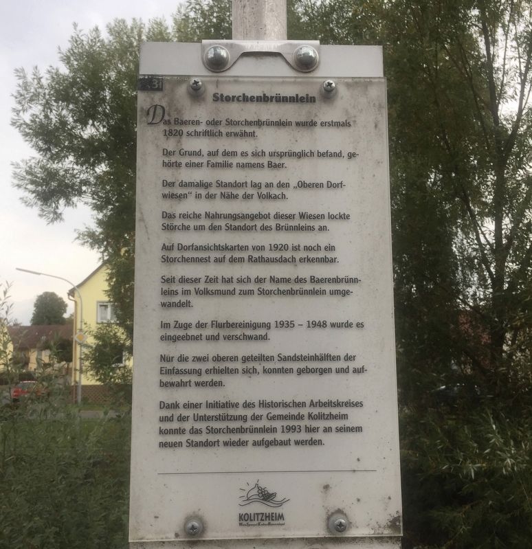

Der Grund, auf dem es sich ursprünglich befand, gehörte einer Familie namens Baer.
Der damalige Standort lag an den "Oberen Dorfwiesen” in der Nähe der Volkach.
Das reiche Nahrungsangebot dieser Wiesen lockte Störche um den Standort des Brünnleins an.
Auf Dorfansichtskarten von 1920 ist noch ein Storchennest auf dem Rathausdach erkennbar.
Seit dieser Zeit hat sich der Name des Baerenbrünnleins im Volksmund zum Storchenbrünnlein umgewandelt.
Im Zuge der Flurbereinigung 1935 - 1948 wurde es eingeebnet und verschwand.
Nur die zwei oberen geteilten Sandsteinhälften der Einfassung erhielten sich, konnten geborgen und aufbewahrt werden.
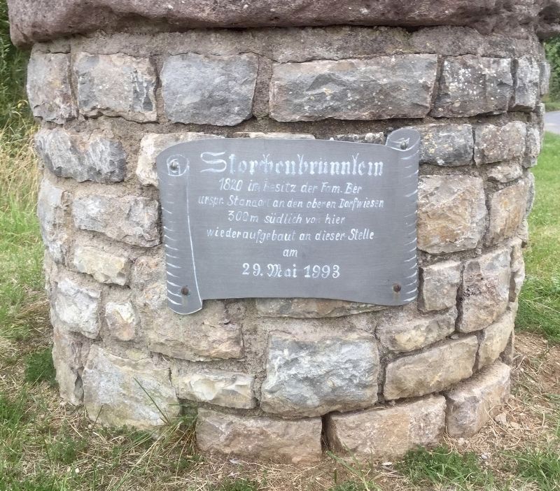
Dank einer Initiative des Historischen Arbeitskreises und der Unterstützung der Gemeinde Kolitzheim konnte das Storchenbrünnlein 1993 hier an seinem neuen Standort wieder aufgebaut werden.
-
The Baer- or Little Stork Spring was first mentioned in writing in 1820, with the origins of its name due to its ownership by the Baer family. Its former location
this page online
(Marker Number 3i.)
Topics. This historical marker is listed in this topic list: Natural Features. A significant historical date for this entry is May 29, 1993.
Location. 49° 53.917′ N, 10° 16.207′ E. Marker is in Zeilitzheim, Bayern (Bavaria), in Schweinfurt. It is at the intersection of Brueckenstrasse and Am Steg, on the left when traveling west on Brueckenstrasse. Touch for map. Marker is in this post office area: Zeilitzheim BY 97509, Germany. Touch for directions.
Regionally, it is in Europe, 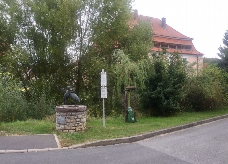
Other nearby markers. At least 8 other markers are within walking distance of this marker: Stone Bridge (here, next to this marker); Das Badhaus / The Bathhouse (a few steps from this marker); Badtor / "Bath" Gate (within shouting distance of this marker); Gerberhaueser / Tanners Houses (within shouting distance of this marker); Gerberhaus / Tanner's House (Brueckenstrasse 5) (within shouting distance of this marker); Gemeindebäckerei / Community Bake-House (about 90 meters away, measured in a direct line); Ehemalige Gendarmeriestation / Former Police Station (about 120 meters away); Ehem. Dorfbrauerei / Former Village Brewery (about 120 meters away). Touch for a list and map of all markers in Zeilitzheim.
Credits. This page was last revised on January 28, 2022. It was originally submitted on November 27, 2019, by Andrew Ruppenstein of Lamorinda, California. This page has been viewed 183 times since then and 6 times this year. Photos: 1, 2, 3. submitted on November 27, 2019, by Andrew Ruppenstein of Lamorinda, California.
