Tennessee Wagon Road
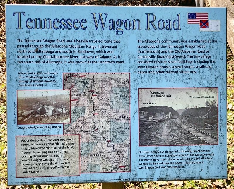
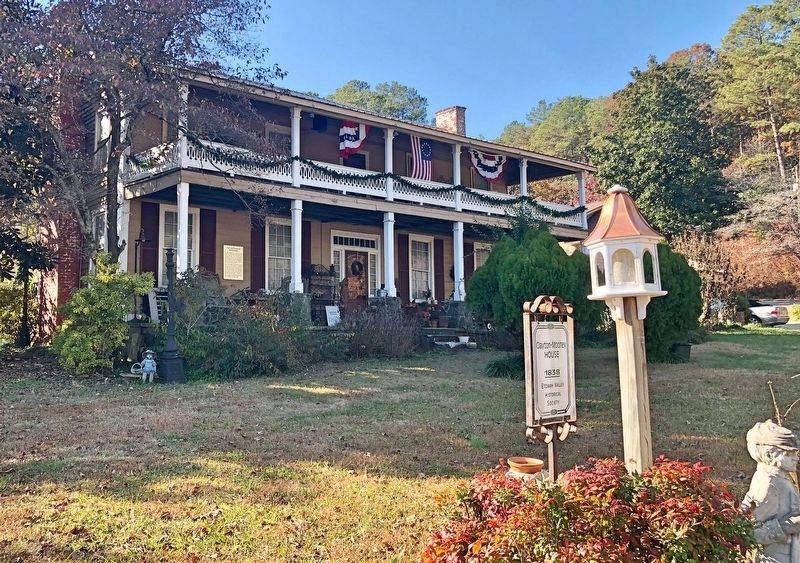
The Allatoona community was established at the crossroads of the Tennessee Wagon Road (north/south) and the Old Alabama Road or Cartersville Road (east/west). The tiny village consisted of six or seven buildings including the John Clayton house, several stores, a railroad depot and other railroad structures.
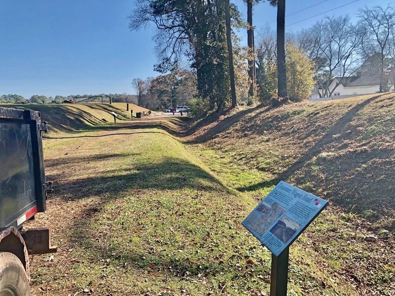
Roads during this time were not direct routes but were a connection of byways that followed the contours of the land, frequently building upon or using existing Native American trails. Years of wagon wheels and horses hooves wearing into the dirt surface created the "sunken road" effect still visible today.
Photo captions
Map detail: Map of rails, town and roads. from Chattanooga (north) through Allatoona down to Sandtown (south).
Left middle: Southeasterly view of Allatoona
Right bottom: Northwesterly view along tracks showing, depot and the
John Clayton house, currently known as the Mooney House.
The home looks much the same as it did in 1862-63 when
George N. Barnard took the photo--Barnard was a
well-known Civil War photographer.
Topics.
this page online
Location. 34° 6.862′ N, 84° 42.92′ W. Marker is in Allatoona, Georgia, in Bartow County. It can be reached from Old Allatoona Road SE 2.9 miles east of Interstate 75, on the left when traveling south. Touch for map. Marker is at or near this postal address: 632 Old Allatoona Road SE, Cartersville GA 30121, United States of America. Touch for directions.

Regionally, this marker is in the Mountains. It is also in the American South and specifically in the Deep South. Globally, it is in North America, the Western Hemisphere, the Western World, and the Anglosphere. Historically, it finds itself in what was once the original Cherokee Nation, the territory of the Mississippian Culture, one of the original Thirteen Colonies, one of the Confederate States of America, and the Antebellum South.
Other nearby markers. At least 8 other markers are within walking distance of this marker: The Memorial Field (within shouting distance of this marker); Allatoona Pass (within shouting distance
Credits. This page was last revised on November 30, 2019. It was originally submitted on November 29, 2019, by Mark Hilton of Montgomery, Alabama. This page has been viewed 1,306 times since then and 75 times this year. Photos: 1, 2. submitted on November 29, 2019, by Mark Hilton of Montgomery, Alabama. 3. submitted on November 30, 2019, by Mark Hilton of Montgomery, Alabama. 4. submitted on November 29, 2019, by Mark Hilton of Montgomery, Alabama.
