Manassas, Virginia — The American South (Mid-Atlantic)
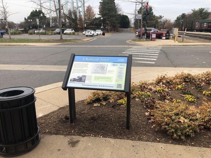
A Railroad Town
1865 - 1900
In 1896, the Southern Railway took over the line running through Manassas. Offering freight and commuter services, the Southern made Manassas a railroad town in the truest sense of the word. Today, freight trains still rumble by on a daily basis and Amtrak and Virginia Railway Express provide regular inter-city and commuter services.
[Aside:]
My father commuted twenty-eight years back and forth on the train. One night he came back and was quite elated because he had seen Colonel John S. Mosby on the train. He was a great admirer of Mosby.
— Virginia Speiden Carper
[Captions:]
This 1869 map of Manassas shows how the town grew up along the rail line.
— Manassas Museum Collection
A Southern freight train passes in front of the Southern States building, 1950. Businesses like this took advantage of the cheap transportation the railroad provided to ship goods to distant markets.
— Manassas Museum Collection
An early Southern Railway schedule illustrates the long-standing relationship has with trains.
— Manassas Museum Collection
Erected by City of Manassas, Virginia.
Topics. This historical marker is listed in these topic lists: Industry & Commerce • Railroads & Streetcars • Settlements & Settlers. A significant historical year for this entry is 1896.
Location. 38° 45.022′ N, 77° 28.383′ W. Marker is in Manassas, Virginia. Marker is on West Street just south of Center Street (Virginia Route 28), on the left when traveling south. Touch for map. Marker is at or near this postal address: 9417 West Street, Manassas VA 20110, United States of America. Touch for directions.
Other nearby markers. At least 8 other markers are within walking distance of this marker. Jackson's Raid (a few steps from this marker); The Town Is Born (a few steps from this marker); Wartime Manassas (a few steps from this marker); a different marker also named Wartime Manassas (within shouting distance of this marker); Route of the "Old 97" (within shouting distance of this marker); Site of Manassas Junction (within shouting distance of this marker); Loy E. Harris (within shouting distance of this marker); a different marker also named Wartime Manassas (about 300 feet away, measured in a direct line). Touch for a list and map of all markers in Manassas.
Credits. This page was last revised on December 2, 2019. It was originally submitted on November 30, 2019, by Devry Becker Jones of Washington, District of Columbia. This page has been viewed 333 times since then and 30 times this year. Photos: 1, 2. submitted on November 30, 2019, by Devry Becker Jones of Washington, District of Columbia.

