Manassas, Virginia — The American South (Mid-Atlantic)
Route of the "Old 97"
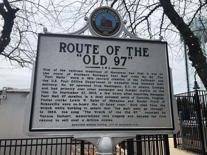
Erected 2016 by Manassas Museum System, City of Manassas.
Topics and series. This historical marker is listed in these topic lists: Arts, Letters, Music • Communications • Disasters • Railroads & Streetcars. In addition, it is included in the Postal Mail and Philately,
this page online
Location. 38° 45.018′ N, 77° 28.405′ W. Marker is in Manassas, Virginia. It is on West Street just south of Center Street (Virginia Route 28), on the right when traveling south. Touch for map. Marker is at or near this postal address: 9417 West Street, Manassas VA 20110, United States of America. Touch for directions.

Regionally, this marker is in the Washington Metropolitan Area and in Northern Virginia. It is also in the American South, specifically in the Upper South, and in the Mid-Atlantic. Globally, it is in North America, the Western Hemisphere, the Western World, and the Anglosphere. Historically, it finds itself in what was once the territory of the Mississippian Culture, one of the original Thirteen Colonies, one of the Confederate States of America, and the Antebellum South.
Other nearby markers. At least 8 other markers are within walking distance of this marker: Wartime Manassas (a few steps from this marker); a different marker also named The Town Is Born (a few steps from this marker); A Railroad Town (within
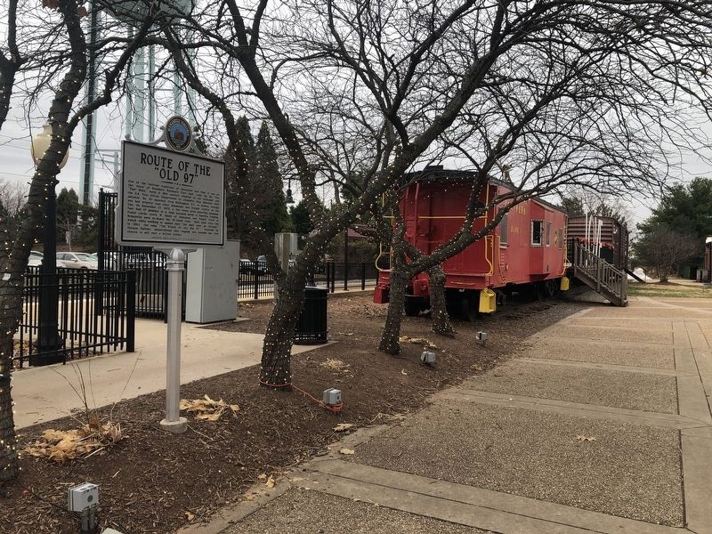
Other markers no longer nearby. The Town Is Born (was a few steps from this marker but has been replaced with another marker now near it); Jackson's Raid (was within shouting distance of this marker but has been replaced with another marker now near it); a different marker also named Wartime Manassas (was within shouting distance of this marker but has been confirmed missing); Site of Manassas Junction (was within shouting distance of this marker but has been permanently removed).
Also see . . . Vernon Dalhart - Wreck Of The Old '97 (1926). YouTube video of a recording of the song (Submitted on November 30, 2019, by Devry Becker Jones of Washington, District of Columbia.)
Credits. This page was last revised on November 30, 2019. It was originally submitted on November 30, 2019, by Devry Becker Jones of Washington, District of Columbia. This page has been viewed 1,438 times since then and 78 times this year. Photos: 1, 2. submitted on November 30, 2019, by Devry Becker Jones of Washington, District of Columbia.
