Manassas, Virginia — The American South (Mid-Atlantic)
Wartime Manassas
"Defend that point against an attack"
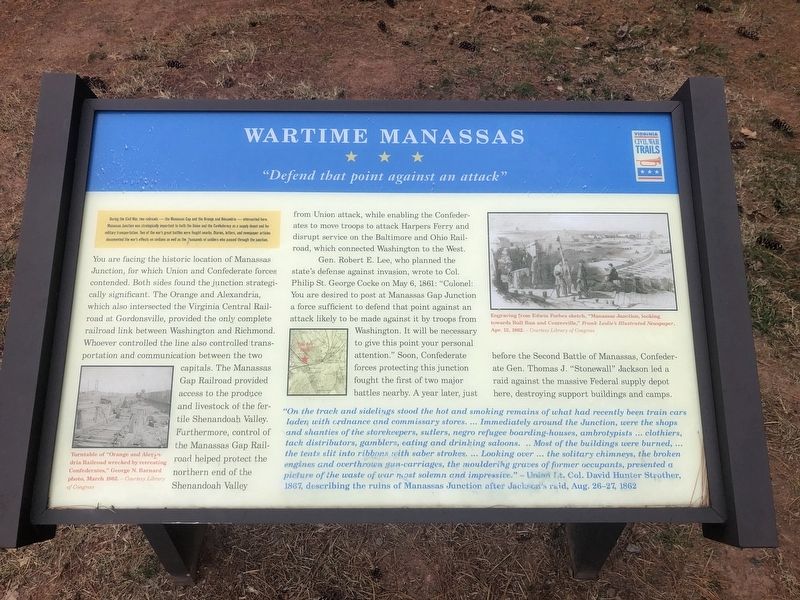
During the Civil War, two railroads — the Manassas Gap and the Orange and Alexandria — intersected here. Manassas Junction was strategically important to both the Union and the Confederacy as a supply depot and for military transportation. Two of the war's great battles were fought nearby. Diaries, letters, and newspaper articles documented the war's effects on civilians as well as the thousands of soldiers who passed through the junction.
You are facing the historic location of Manassas Junction, for which the Union and Confederate forces contended. Both sides found the junction strategically significant. The Orange and Alexandria, which also intersected the Virginia Central Railroad at Gordonsville, provided the only complete railroad link between Washington and Richmond. Whoever controlled the line also controlled transportation and communication between the two capitals. The Manassas Gap Railroad provided access to the produce and livestock of the fertile Shenandoah Valley. Furthermore, control of the Manassas Gap Railroad helped protect the northern end of the Shenandoah Valley from Union attack, while enabling the Confederates to move troops to attack Harpers Ferry and disrupt service on the Baltimore and Ohio Railroad, which connected Washington to the West.
Gen. Robert E. Lee, who planned the state's defense against invasion, wrote to Col. Philip St. George Cocke on May 6, 1861: "Colonel: You are desired to post at Manassas Gap Junction a force sufficient to defend that point against an attack likely to be made against it by troops from Washington. It will be necessary to give this point your personal attention." Soon, Confederate forces protecting the junction fought the first of two major battles nearby. A year later, just before the Second Battle of Manassas, Confederate Gen. Thomas J. "Stonewall" Jackson led a raid against the massive Federal supply depot here, destroying support buildings and camps.
"On the track and sidelings stood the hot and smoking remains of what had been train cars laden with ordnance and commissary stores. ... Immediately around the Junction, were the shops and shanties of the storekeepers, sutlers, negro refugee boarding-houses, ambrotypists ... clothiers, tack distributors, gamblers, eating and drinking saloons. .. Most of the buildings were burned, ... the tents slit into ribbons with saber strokes. ... Looking over ... the solitary chimneys, the broken engines and overthrown gun-carriages, the mouldering graves of former occupants, presented a picture of the waste of war most solemn and impressive." — Union Lt. Col. David Hunter Strother, 1867, describing the ruins of Manassas Junction after
Erected by Virginia Civil War Trails.
Topics and series. This historical marker is listed in these topic lists: African Americans • Industry & Commerce • Railroads & Streetcars • Settlements & Settlers • War, US Civil. In addition, it is included in the Manassas Gap Railroad, the Orange and Alexandria Railroad, and the Virginia Civil War Trails series lists. A significant historical date for this entry is August 26, 1862.
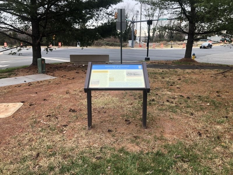
Location. 38° 44.817′ N, 77° 29.262′ W. Marker is in Manassas, Virginia. Marker is at the intersection of Prince William Street and Wellington Road, on the left when traveling west on Prince William Street. Touch for map. Marker is at or near this postal address: 9601 Prince William Street, Manassas VA 20110, United States of America. Touch for directions.
Other nearby markers. At least 8 other markers are within walking distance of this marker. Charter Cottage (a few steps from this marker); Jennie Dean (a few steps from this marker); Hackley Hall (a few steps from this marker); a different marker also named Charter Cottage (within shouting distance of this marker); Campus Model (within shouting distance of this marker); Manassas 1909 (within shouting distance of this marker); Jane Serepta Dean (within shouting distance of this marker); Carnegie Building (within shouting distance of this marker). Touch for a list and map of all markers in Manassas.
Credits. This page was last revised on December 1, 2019. It was originally submitted on December 1, 2019, by Devry Becker Jones of Washington, District of Columbia. This page has been viewed 224 times since then and 27 times this year. Photos: 1, 2. submitted on December 1, 2019, by Devry Becker Jones of Washington, District of Columbia.

