Dromineer in County Tipperary, Munster, Ireland — Irish South-West ((Éire) North Atlantic Ocean)
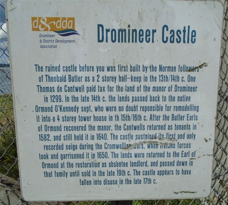
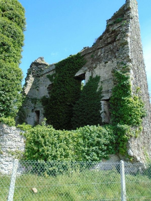
Dromineer Castle
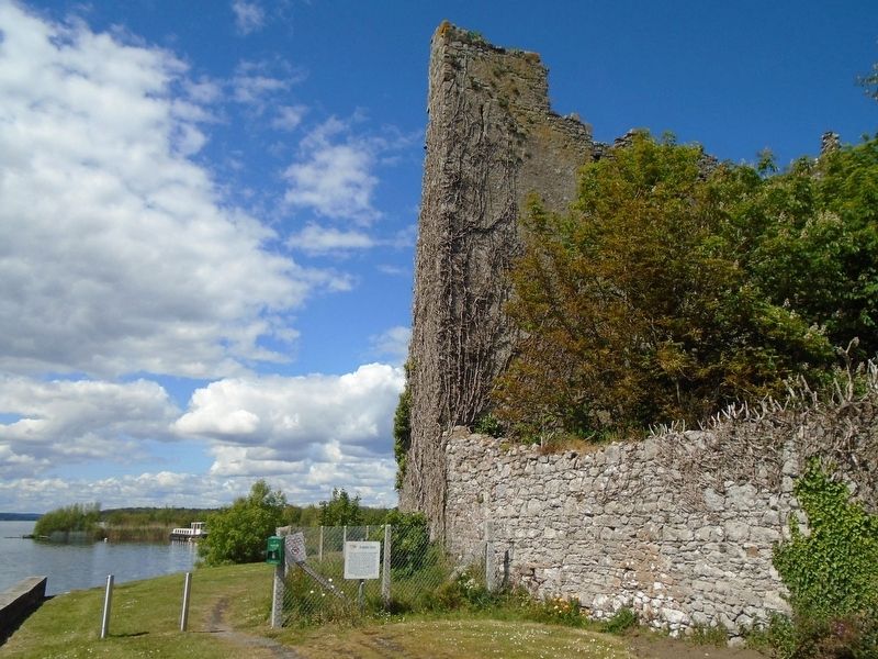
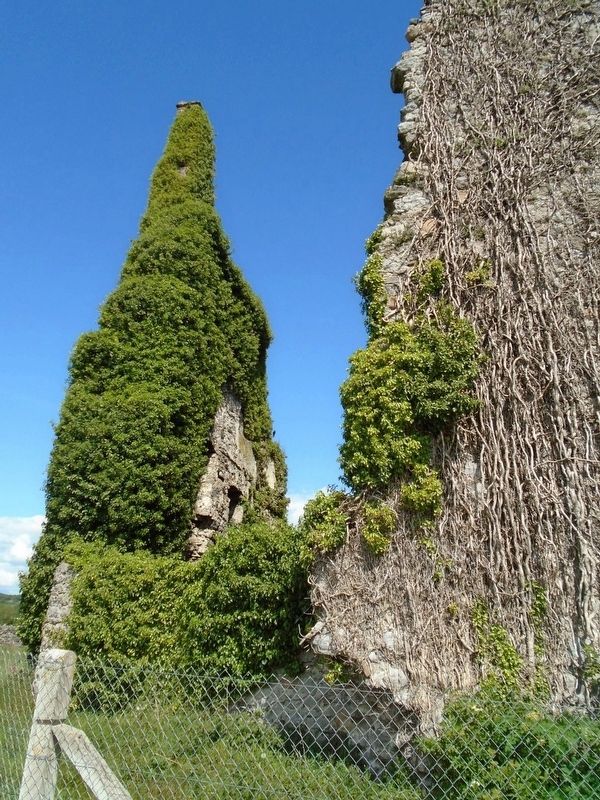
The ruined castle before you was first built by the Norman followers of Theobald Butler as a 2 storey hall-keep in the 13th/14th c. One Thomas de Cantwell paid tax for the land of the manor of Dromineer in 1299. In the late 14th c. the land passed back to the native Ormond O'Kennedy sept, who were no doubt responsible for remodelling it into a 4 storey tower house in the 15th/16th c. After the Butler Earls of Ormond recovered the manor, the Cantwells returned as tenants in 1582, and still held it in 1640. The castle sustained its first and only recorded seige during the Cromwellian Wars, when Ireton's forces took and garrisoned it in 1650. The lands were returned to the Earl of Ormond at the restoration as absentee landlord, and passed down in that family until sold in the late 19th c. The castle appears to have fallen into disuse in the late 17th c.
Erected by Dromineer & District Development Association.
Topics. This historical marker is listed in these topic lists: Forts and Castles • Man-Made Features • Wars, Non-US. A significant historical year for this entry is 1299.
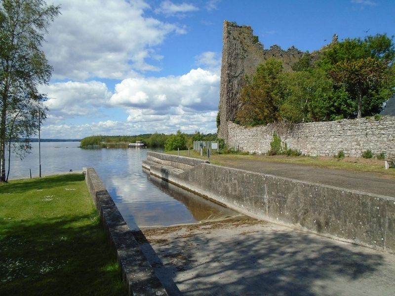
Location. 52° 55.546′ N, 8° 16.636′ W. Marker is in Dromineer, Munster, in County Tipperary. Marker and castle ruins are about 150 metres north of Munster Route 495, and west of the Lough Berg Lifeboat Station. Touch for map. Marker is in this post office area: Dromineer, Munster E45 K284, Ireland. Touch for directions.
Other nearby markers. At least 1 other marker is within walking distance of this marker. The Canal Store (about 120 meters away, measured in a direct line).
Also see . . . Dromineer. Wikipedia entry (Submitted on December 1, 2019, by William Fischer, Jr. of Scranton, Pennsylvania.)
Credits. This page was last revised on July 3, 2021. It was originally submitted on December 1, 2019, by William Fischer, Jr. of Scranton, Pennsylvania. This page has been viewed 227 times since then and 17 times this year. Photos: 1, 2, 3, 4, 5. submitted on December 1, 2019, by William Fischer, Jr. of Scranton, Pennsylvania.
