Pineville in Mecklenburg County, North Carolina — The American South (South Atlantic)
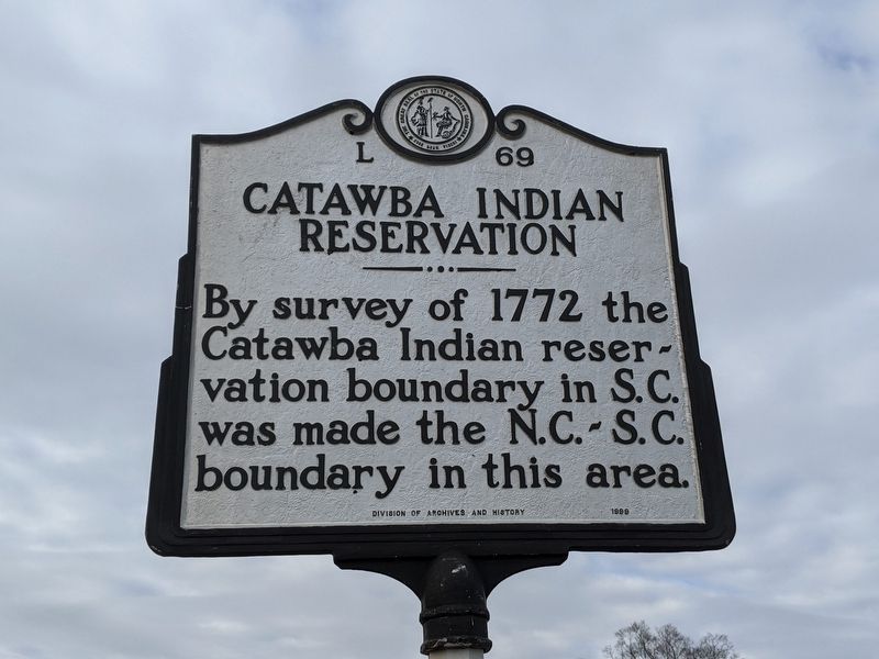
Catawba Indian Reservation
Erected 1999 by Division of Archives and History. (Marker Number L-69.)
Topics and series. This historical marker is listed in this topic list: Native Americans. In addition, it is included in the North Carolina Division of Archives and History series list. A significant historical year for this entry is 1772.
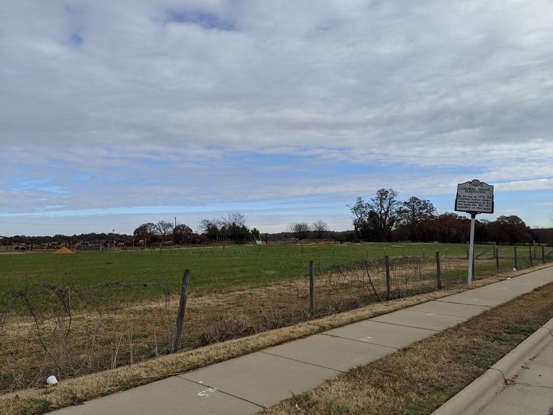
Location. 35° 5.386′ N, 80° 55.041′ W. Marker is in Pineville, North Carolina, in Mecklenburg County. Marker is on Rock Hill-Pineville Road (State Highway 51) 0.1 miles west of Miller Road, on the right when traveling west. Touch for map. Marker is in this post office area: Pineville NC 28134, United States of America. Touch for directions.
Other nearby markers. At least 8 other markers are within 3 miles of this marker, measured as the crow flies. North Carolina / South Carolina (about 300 feet away, measured in a direct line); James K. Polk (approx. 2.1 miles away); Cotton on the Polk Farm (approx. 2.1 miles away); James Knox Polk Birthplace (approx. 2.1 miles away); Tobacco in the Piedmont (approx. 2.1 miles away); Mecklenburg Chapter of the Daughters of the American Revolution (approx. 2.1 miles away); The Polk Farm (approx. 2.2 miles away); The President James K. Polk State Historic Site (approx. 2.2 miles away). Touch for a list and map of all markers in Pineville.
Credits. This page was last revised on December 1, 2019. It was originally submitted on December 1, 2019, by Mike Wintermantel of Pittsburgh, Pennsylvania. This page has been viewed 254 times since then and 26 times this year. Photos: 1, 2. submitted on December 1, 2019, by Mike Wintermantel of Pittsburgh, Pennsylvania.

