Shady Spring in Raleigh County, West Virginia — The American South (Appalachia)
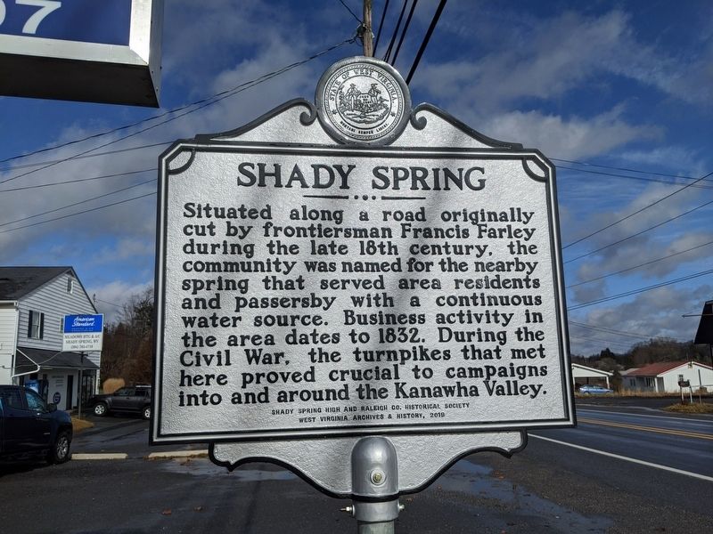
Shady Spring
Erected 2019 by Shady Springs High and Raleigh Co. Historical Society, West Virginia Archives and History.
Topics and series. This historical marker is listed in these topic lists: Industry & Commerce • Settlements & Settlers • War, US Civil. In addition, it is included in the West Virginia Archives and History series list. A significant historical year for this entry is 1832.
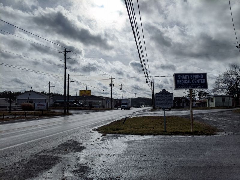
Location. 37° 42.542′ N, 81° 5.923′ W. Marker is in Shady Spring, West Virginia, in Raleigh County. Marker is at the intersection of Ritter Drive (U.S. 19) and Meador Lane, on the right when traveling south on Ritter Drive. Touch for map. Marker is in this post office area: Shady Spring WV 25918, United States of America. Touch for directions.
Other nearby markers. At least 8 other markers are within 6 miles of this marker, measured as the crow flies. Grandview Park (approx. 1.3 miles away); Glade Creek Reservoir (approx. 2.9 miles away); Big Beaver Creek Ancient Fortification (approx. 4 miles away); Camp Jones (approx. 4.3 miles away); Skidders and Boomboats (approx. 4˝ miles away); Glade Creek Timber (approx. 4˝ miles away); Boom, Bust & Rebirth (approx. 4˝ miles away); Colonel Ernest E. Chilson (approx. 5.2 miles away).
Also see . . . Shady Spring West Virginia. (Submitted on December 1, 2019, by Mike Wintermantel of Pittsburgh, Pennsylvania.)
Credits. This page was last revised on July 19, 2021. It was originally submitted on December 1, 2019, by Mike Wintermantel of Pittsburgh, Pennsylvania. This page has been viewed 522 times since then and 59 times this year. Photos: 1, 2. submitted on December 1, 2019, by Mike Wintermantel of Pittsburgh, Pennsylvania.

