Wein-Kult Tour bei Stammheim
⎯⎯⎯
Wine Cult-Tour in Stammheim
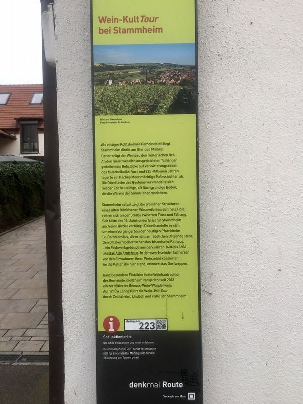

Stammheim selbst zeigt die typischen Strukturen eines alten fränkischen Winzerdorfes: Schmale Höfe reihen sich an der Straße zwischen Fluss und Talhang. Seit Mitte des 13. Jahrhunderts ist für Stammheim auch eine Kirche verbürgt. Dabei handelte es sich um einen Vorgängerbau der heutigen Pfarrkirche St.Batholomäus, die erhöht am südlichen Ortsende steht. Den Ortskern beherrschen das historische Rathaus, - ein Fachwerkgebäude aus den Jahren 1604 bis 1606 - und das Alte Amtshaus, in dem wechselnde Dorfherren von den Einwohnern ihren Weinzehnt kassierten. An die Kelter, die hier stand, erinnert das Dorfwappen.
Ganz besondere Einblicke in die
this page online
-
Stammheim itself shows the typical structures
of an old Franconian wine-growing village: Narrow farms
line the road between river and valley slope.
Since the middle of the 13th century Stammheim has had a church, with a predecessor of today's parish church, St. Bartholomew, which stands elevated at the southern end of the village.
The town center is dominated by the historic town hall
- a half-timbered building from the years 1604 to 1606
Since 2013, a certified gourmet wine trail promises very special insights into the winemaking tradition of the Kolitzheim Municipality, with the wine cult tour stretching a length of 17 km through Zeilitzheim, Lindach, and of course, Stammheim.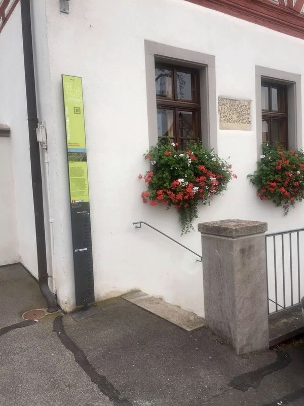
Erected by Denkmal Route. (Marker Number 223.)
Topics. This historical marker is listed in these topic lists: Agriculture • Settlements & Settlers. A significant historical year for this entry is 1604.
Location. 49° 54.283′ N, 10° 11.616′ E. Marker is in Stammheim, Bayern (Bavaria), in Schweinfurt. It is at the intersection of Am Weiher and Winzerstrasse, on the left when traveling west on Am Weiher. Touch for map. Marker is in this post office area: Stammheim BY 97509, Germany. Touch for directions.
Regionally, it is in Europe, the European Union, Atlantic Europe, Central Europe, the Schengen Area, Western Europe, and the Western World. Historically, it finds itself in what was once the Holy Roman
Other nearby markers. At least 8 other markers are within 3 kilometers of this marker, measured as the crow flies: Das Historisches Rathaus / The Historic Town Hall (here, next to this marker); Weinbauchronik von Stammheim / Stammheim Viniculture Timeline (within shouting distance of this marker); Ehemaliger Klosterhof mit historischer Weinkelter / Former Monastery Building and Historic Winepress (within shouting distance of this marker); Hofportal mit Bacchusrelief / Courtyard Entry with Bacchus Carving (within shouting distance of this marker); Barockes Zehnthaus mit Zehntkeller / Baroque Tithing House with Tithe Cellar (about 120 meters away, measured in a direct line); Dorfkirche Lindach / Lindach Village Church (approx. 2.5 kilometers away); Dorfgasthaus Zum Löwen / "At the Lions" Village Inn (approx. 2.5 kilometers away); Historisches Rathaus / Old City Hall (approx. 2.5 kilometers away). Touch for a list and map of all markers in Stammheim.
Also see . . . Wein-Kult Tour bei Stammheim (Denkmal Route, in German, video of 3 min.). Brief video overview of the wine trail (minimal historical content). (Submitted on December 2, 2019.)
Credits. This page was last revised on January 28, 2022. It was originally submitted on December 2, 2019, by Andrew Ruppenstein of Lamorinda, California. This page has been viewed 146 times since then and 11 times this year. Photos: 1, 2, 3. submitted on December 2, 2019, by Andrew Ruppenstein of Lamorinda, California.
