Central City in Salt Lake City in Salt Lake County, Utah — The American Mountains (Southwest)
Pioneer Camping Grounds
Photographed by Craig Baker, April 14, 2019
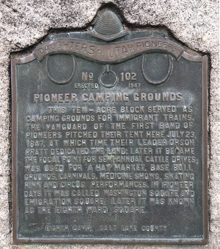
1. Pioneer Camping Grounds Marker
This ten-acre block served as camping grounds for immigrant trains. The vanguard of the first band of pioneers pitched their tent here July 23, 1847, at which time their leader Orson Pratt dedicated the land. Later it became the focal point for semi-annual cattle drives; was used for a hay market, baseball grounds, carnivals, medicine shows, skating rink, and circus performances. In pioneer days it was called Washington Square and Emigration Square; later it was known as the Eighth Ward Square.
Eighth Camp, Salt Lake County
Erected 1947 by Daughters of Utah Pioneers. (Marker Number 102.)
Topics and series. This historical marker is listed in these topic lists: Agriculture • Entertainment • Settlements & Settlers • Sports. In addition, it is included in the Daughters of Utah Pioneers series list. A significant historical year for this entry is 1847.
Location. 40° 45.625′ N, 111° 53.264′ W. Marker is in Salt Lake City, Utah, in Salt Lake County. It is in Central City. It is at the intersection of University Boulevard and State Street, on the right when traveling east on University Boulevard. Touch for map.
this page online

Regionally, this marker is in the Wasatch Front and in Greater Salt Lake. It is also in the American Mountain West and on the Colorado Plateau. Globally, it is in North America, the Rocky Mountains, the Western Hemisphere, the Western World, and the Anglosphere. Historically, it finds itself in what was once New Spain and also Mexico’s Alta California.
Other nearby markers. At least 8 other markers are within walking distance of this marker: Central Overland Trail - Washington Square (a few steps from this marker); Salt Lake City and County Building (about 300 feet away, measured in a direct line); a different marker also named Salt Lake City and County Building (about 600 feet away); Salt Lake Stock and Mining Exchange (about 700 feet away); New Grand Hotel (approx. 0.2 miles away); Modern Irrigation (approx. 0.2 miles away); Frank E. Moss Federal Courthouse (approx. 0.2 miles away); Odd Fellows Hall (approx. ¼ mile away). Touch for a list and map of all markers in Salt Lake City.
Other
Photographed by Craig Baker, April 14, 2019
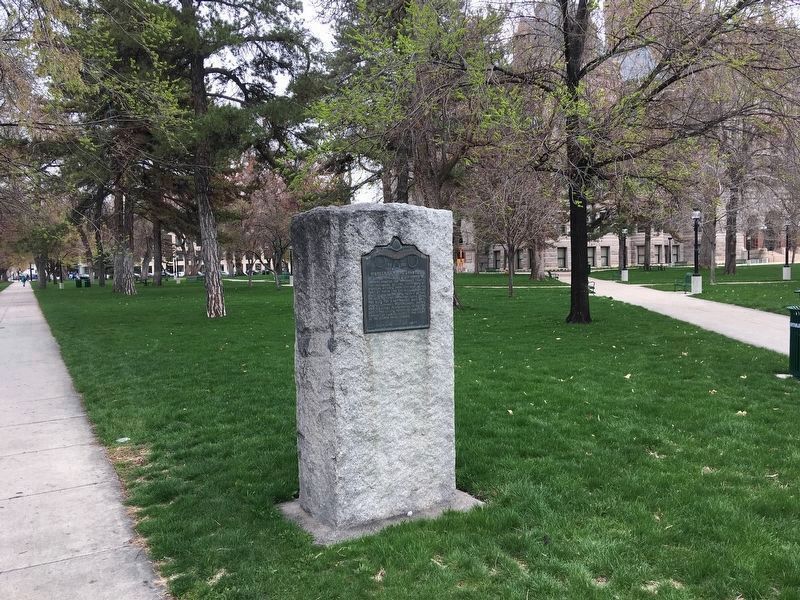
2. Pioneer Camping Grounds Marker
The marker is in Washington Square Park, with the Salt Lake City and County Building in the background.
Credits. This page was last revised on February 16, 2023. It was originally submitted on December 3, 2019, by Craig Baker of Sylmar, California. This page has been viewed 509 times since then and 29 times this year. Photos: 1, 2. submitted on December 3, 2019, by Craig Baker of Sylmar, California. • J. Makali Bruton was the editor who published this page.
