Near Lindsay in Tulare County, California — The American West (Pacific Coastal)
Butterfield Overland Mail Route
Photographed by Craig Baker, 2017
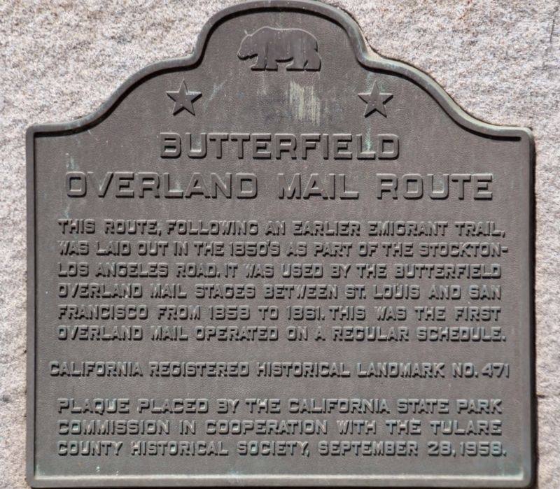
1. Butterfield Overland Mail Route Marker
This route, following an earlier emigrant trail, was laid out in the 1850’s as part of the Stockton-Los Angeles Road. It was used by the Butterfield Overland Mail stages between St. Louis and San Francisco from 1858 to 1861. This was the first overland mail operated on a regular schedule.
Erected 1958 by California State Park Commission and Tulare County Historical Society. (Marker Number 471.)
Topics and series. This historical marker is listed in these topic lists: Communications • Roads & Vehicles. In addition, it is included in the Butterfield Overland Mail, and the California Historical Landmarks series lists.
Location. 36° 12.148′ N, 119° 6.256′ W. Marker is near Lindsay, California, in Tulare County. It is on Fremont Drive 0.1 miles south of Hermosa Street, on the left when traveling south. Touch for map. Marker is at or near this postal address: 235 North Fremont Drive, Lindsay CA 93247, United States of America. Touch for directions.

Regionally, this marker is in California’s San Joaquin Valley, specifically in the Central Valley, and in the
this page online
Other nearby markers. At least 8 other markers are within 9 miles of this marker, measured as the crow flies: Fremont Trail (here, next to this marker); Cairns Corner Olive Trees (approx. 1.8 miles away); Roth's Spur (approx. 4½ miles away); Old Harmony School (approx. 6.6 miles away); The Electric Railroad (approx. 7 miles away); Packwood Station (approx. 7.4 miles away); Farmersville (approx. 8.7 miles away); Porterville Area Vietnam Memorial (approx. 9 miles away). Touch for a list and map of all markers in Lindsay.
Photographed by Craig Baker, March 8, 2021
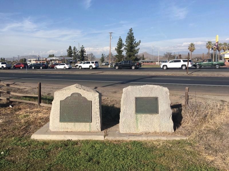
2. Butterfield Overland Mail Route Marker
On the right is the Fremont Trail marker.
Credits. This page was last revised on March 11, 2021. It was originally submitted on December 6, 2019, by Craig Baker of Sylmar, California. This page has been viewed 503 times since then and 36 times this year. Last updated on December 6, 2019, by Craig Baker of Sylmar, California. Photos: 1. submitted on December 6, 2019, by Craig Baker of Sylmar, California. 2. submitted on March 10, 2021, by Craig Baker of Sylmar, California. • J. Makali Bruton was the editor who published this page.
