The Beaudhuin Village Site: A North Bay Middle Woodland Camp
From First Americans to Euroamericans
— Archaeology and History of the WIS 57 Transportation Corridor —
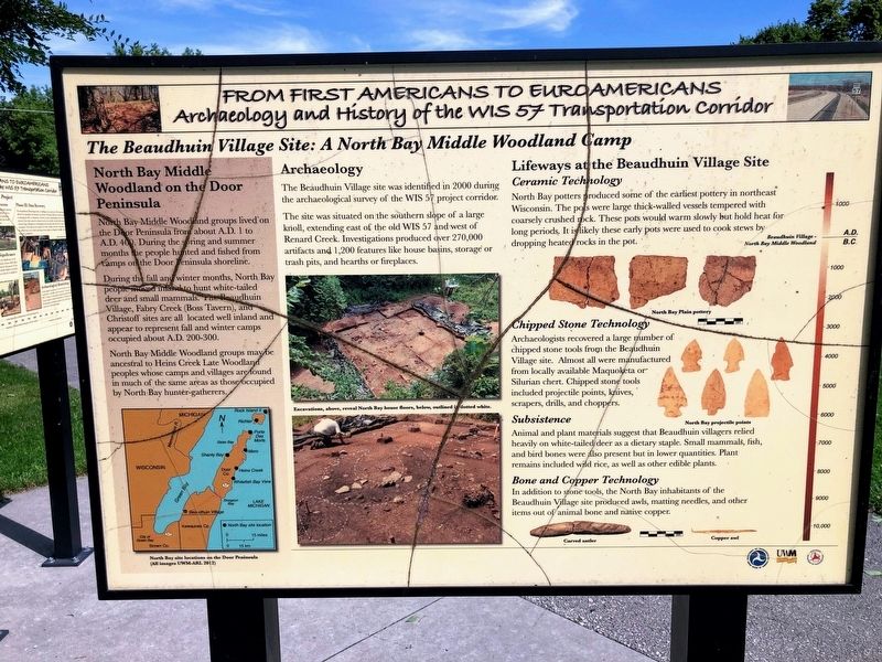
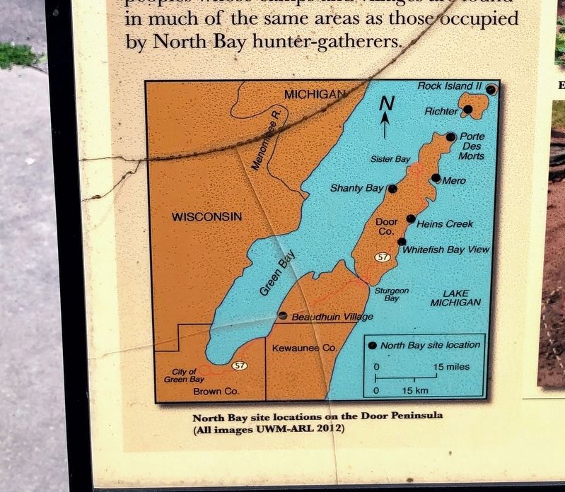
North Bay Middle Woodland groups lived on the Door Peninsula from about A.D. 1 to A.D. 400. During the spring and summer months the people hunted and fished from camps on the Door Peninsula shoreline. During the fall and winter months, North Bay people moved inland to hunt white-tailed deer and small mammals. The Beaudhuin Village, Fabry Creek (Boss Tavern), and Christoff sites are all located well inland and appear to represent fall and winter camps occupied about A.D. 200-300. North Bay Middle Woodland groups maybe ancestral to Heins Creek Late Woodland peoples whose camps and villages are found in much of the same areas as those occupied by North Bay hunter-gatherers.
Archaeology
The Beaudhuin Village was identified in 2000 during the archaeological survey of the WIS 57 project corridor.
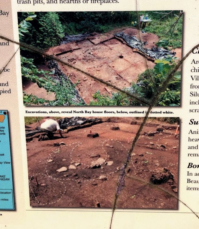
The site was situated on the southern slope of a large knoll, extending east of the old WIS 57 and west of Renard Creek. Investigations produced over 270,000 artifacts and 1,200 features like house basins, storage or trash pits, and hearths or fireplaces.
Lifeways at the Beaudhuin Village Site
Ceramic Technology
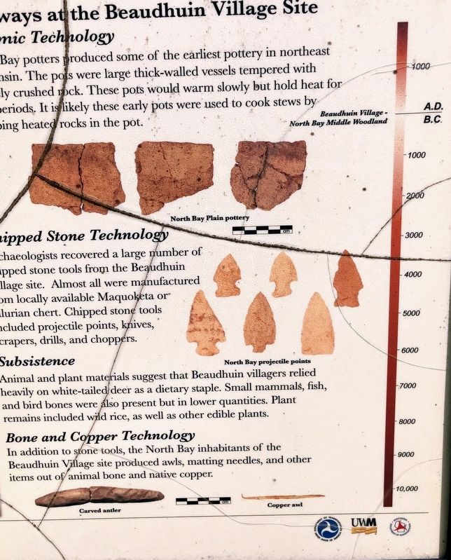
North Bay potters produced some of the earliest pottery in northeast Wisconsin. The pots were large thick-walled vessels
Chipped Stone Technology
Archaeologists recovered a large number of chipped stone tools from the Beaudhuin Village site. Almost all were manufactured from locally available Maquoketa or Silurian chert. Chipped stone tools included projectile points, knives, scrapers, drills, and choppers.
Subsistence
Animal and plant materials suggest that Beaudhuin villagers relied heavily on white-tailed deer as a dietary staple. Small mammals, fish, and bird bones were also present but in lower quantities. Plant remains included wild rice, as well as other edible plants.
Bone and Copper Technology
In addition to stone tools, the North Bay inhabitants of the Beaudhuin Village site produced awls, matting needles, and other items out of animal bone and native copper.
Erected by University of Wisconsin-Milwaukee, U.S. Department of the Interior, Wisconsin Department of Interior.
Topics. This historical marker is listed in these topic lists: Anthropology & Archaeology • Native Americans.
Location. 44° 34.084′ N, 87°
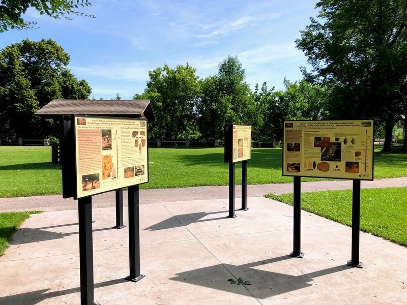
Other nearby markers. At least 8 other markers are within walking distance of this marker. Fabry Creek (Boss Tavern): A Multi-component Site (here, next to this marker); From First Americans to Euroamericans (here, next to this marker); Delfosse-Allard: A Multi-component Site (here, next to this marker); The WIS 57 Reconstruction Project in Brown, Kewaunee, and Door Counties (here, next to this marker); The Holdorf Site: A Chipped Stone Workshop/The Christoff Site: A Prehistoric Campsite (here, next to this marker); Heyrman I: A Multi-component Workshop and Campsite (here, next to this marker); Transportation Archaeology on the WIS 57 Project (here, next to this marker); Red Banks (about 500 feet away, measured in a direct line). Touch for a list and map of all markers in Scott.
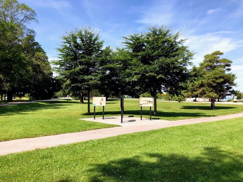
More about this marker. This marker is part of the group of markers at this location titled From First Americans to Euroamericans: Archaeology and History of the WIS 57 Transportation Corridor. The markers are a few steps from the southern parking lot in the park.
Credits. This page was last revised on June 14, 2020. It was originally submitted on December 7, 2019, by Devon Polzar of Port Washington, Wisconsin. This page has been viewed 320 times since then and 23 times this year. Photos: 1, 2, 3, 4, 5, 6. submitted on December 7, 2019, by Devon Polzar of Port Washington, Wisconsin. • Mark Hilton was the editor who published this page.
