Mount Morris in Livingston County, New York — The American Northeast (Mid-Atlantic)
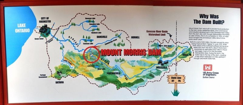
Why Was This Dam Built?
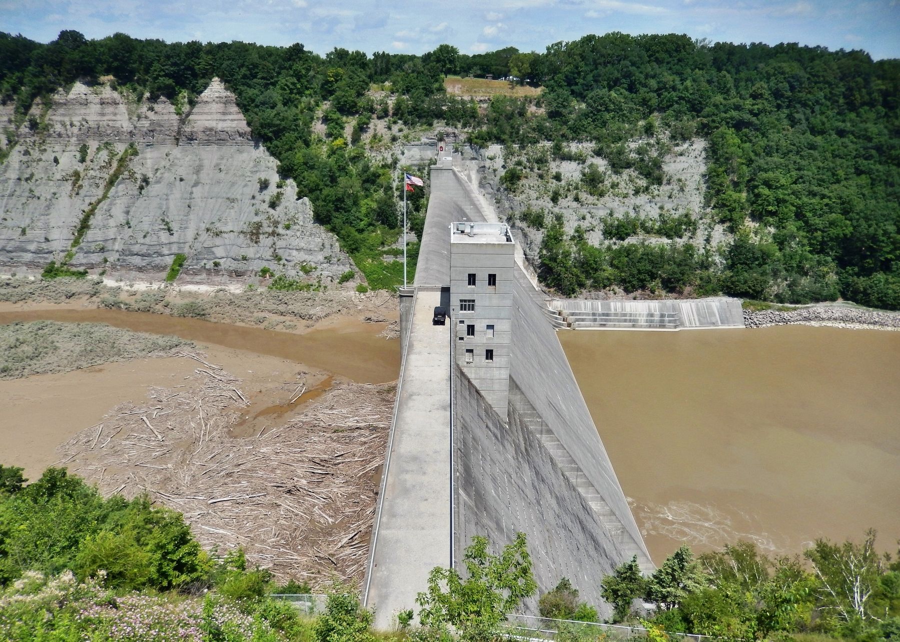
Built at a cost of $25 million, the dam proved its value during Tropical Storm "Agnes" in June 1972. While other areas of the northeast suffered tremendous destruction from the storm, Mount Morris Dam prevented an estimated $210 million in flood damages, most of it in the Rochester Metropolitan Area. During this storm, the water rose to the top of the dam, creating a lake which extended 15 miles upstream through Letchworth State Park.
Erected by U.S. Army Corps of Engineers.
Topics. This historical marker is listed in these topic lists: Disasters • Man-Made Features • Waterways & Vessels. A significant historical month for this entry is June 1972.
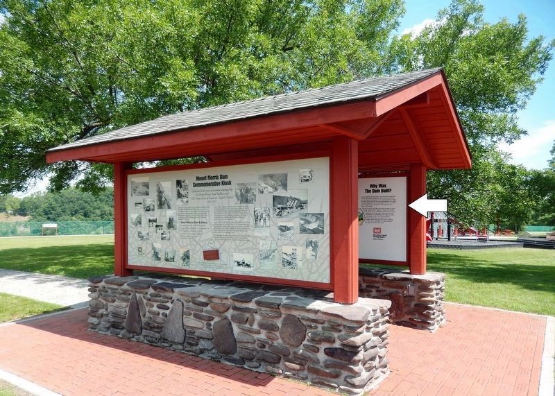
Location. 42° 43.877′ N, 77° 54.362′ W. Marker is in Mount Morris, New York, in Livingston County. Marker can be reached from Visitor Center Road, 1.8 miles north of Mount Morris Nunda Road (State Route 408). Marker is located in an interpretive kiosk along the walkway in front of the Mount Morris Dam & Recreation Area Visitor Center. Touch for map. Marker is at or near this postal address: 6103 Visitor Center Road, Mount Morris NY 14510, United States of America. Touch for directions.
Other nearby markers. At least 8 other markers are within 2 miles of this marker, measured as the crow flies. Dam Facts (here, next to this marker); Mount Morris Dam Commemorative Kiosk (here, next to this marker); The Largest Dry Bed Dam East of the Mississippi River (within shouting distance of this marker); Mt. Morris Dam (approx. ¼ mile away); "Da-Yo-It-Ga-O" (approx. 0.7 miles away); Murray Hill (approx. 1.1 miles away); John Wesley Powell (approx. 1½ miles away); Francis Bellamy Memorial Park (approx. 1½ miles away). Touch for a list and map of all markers in Mount Morris.
Related markers. Click here for a list of markers that are related to this marker. Mount Morris Dam
Also see . . . Mt. Morris Dam & the Flood of 1972. After crashing through the Lower Falls area, the waters headed north. They flooded the old abandoned village of St. Helena, the valley at Gardeau where Mary Jemison once lived, and covered the fields at Smokey Hollow. The Mt. Morris Dam lay ahead... (Submitted on December 8, 2019, by Cosmos Mariner of Cape Canaveral, Florida.)
Credits. This page was last revised on December 8, 2019. It was originally submitted on December 7, 2019, by Cosmos Mariner of Cape Canaveral, Florida. This page has been viewed 186 times since then and 22 times this year. Photos: 1, 2, 3. submitted on December 8, 2019, by Cosmos Mariner of Cape Canaveral, Florida.


