Near Rion in Fairfield County, South Carolina — The American South (South Atlantic)
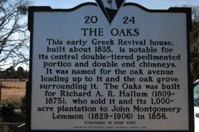
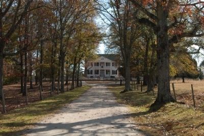
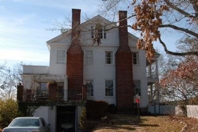
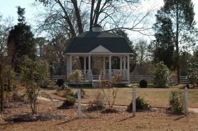
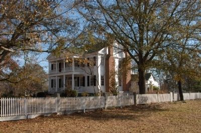
The Oaks
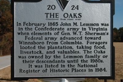
In February 1865 John M. Lemmon was in the Confederate army in Virginia when elements of Gen. W.T. Sherman's Federal army advanced toward Winnsboro from Columbia. Foragers looted the plantation, taking food, livestock, and valuables. The Oaks was owned by the Lemmon family or their descendants until the 1980s. It was listed in the National Register of Historical Places in 1984.
Erected 2006 by Fairfield County Historical Society. (Marker Number 20-24.)
Topics. This historical marker is listed in these topic lists: Agriculture • Settlements & Settlers • War, US Civil. A significant historical month for this entry is February 1865.
Location. 34° 21.234′ N, 81° 11.274′ W. Marker is near Rion, South Carolina, in Fairfield County. Marker is on Monjicono Road (State Highway 213) half a mile west of Jackson Creek Road, on the left when traveling west. Touch for map. Marker is in this post office area: Winnsboro SC 29180, United States of America. Touch for directions.
Other nearby markers. At least 8 other markers are within 6 miles of this marker, measured as the crow flies. Kincaid-Anderson House (approx. 4 miles away); Old Brick Church (approx. 4.8 miles away); Saint John's Episcopal Church (approx. 5.9 miles away); Industry Evolution on the Broad River (approx. 5.9 miles away); a different marker also named Industry Evolution on the Broad River (approx. 5.9 miles away); Fairfield County Courthouse (approx. 6.1 miles away); Fairfield Institute / Kelly Miller (approx. 6.1 miles away); Cathcart-Ketchin House / Catharine Ladd (approx. 6.1 miles away).
Also see . . . South Carolina Department of Archives and History. (Submitted on December 9, 2008, by Michael Sean Nix of Spartanburg, South Carolina.)
Credits. This page was last revised on May 1, 2023. It was originally submitted on December 9, 2008, by Michael Sean Nix of Spartanburg, South Carolina. This page has been viewed 2,583 times since then and 283 times this year. Photos: 1, 2, 3, 4, 5, 6, 7. submitted on December 9, 2008, by Michael Sean Nix of Spartanburg, South Carolina. • Craig Swain was the editor who published this page.
