Suffern in Rockland County, New York — The American Northeast (Mid-Atlantic)
Indian Rock
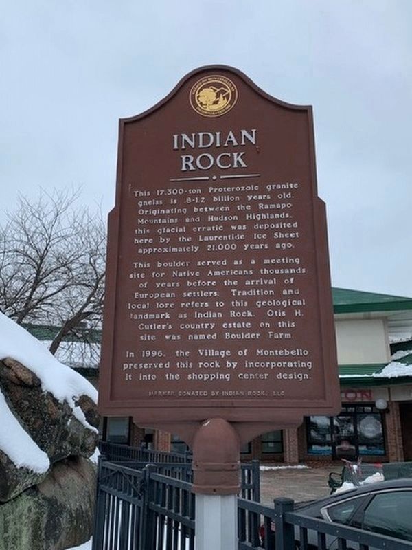
Photographed by Rika Schaffer, December 4, 2019
1. Indian Rock Marker
This 17,300-ton Proterozoic granite gneiss is .8-1.2 billion years old. Originating between the Ramapo Mountains and Hudson Highlands, this glacial erratic was deposited here by the Laurentide Ice Sheet approximately 21,000 years ago.
This boulder served as a meeting site for Native Americans thousands of years before the arrival of European settlers. Tradition and local lore refers to this geological landmark as Indian Rock. Otis H. Cutler’s country estate on this site was named Boulder Farm.
In 1996, the Village of Montebello preserved this rock by incorporating it into the shopping center design.
Erected by Indian Rock, LLC.
Topics. This historical marker is listed in these topic lists: Indigenous Peoples and Communities • Settlements & Settlers. A significant historical year for this entry is 1996.
Location. 41° 6.807′ N, 74° 7.746′ W. Marker is in Suffern, New York, in Rockland County. It can be reached from the intersection of Hermion Road and Lafayette Avenue (New York State Route 59), on the left when traveling south. Located in the Indian Rock shopping center. Touch for map. Marker is at or near this
this page online

Regionally, this marker is in the Hudson Valley and in the New York City Metropolitan Area. It is also in the American Northeast, in the Mid-Atlantic, and on the Eastern Seaboard. Globally, it is in the North Atlantic Region, North America, the Western Hemisphere, the Western World, and the Anglosphere. Historically, it finds itself in what was once New Netherland and also one of the original Thirteen Colonies.
Other nearby markers. At least 8 other markers are within 2 miles of this marker, measured as the crow flies: Montebello (approx. ¾ mile away); Dogwoods (approx. one mile away); Suffern’s Tavern (approx. 1.1 miles away); This Cannon “Independence” (approx. 1.1 miles away); Soldier’s Monument (approx. 1.1 miles away); Rochambeau’s Encampment (approx. 1.1 miles away); Horse Watering Trough (approx. 1.1 miles away); Christ Evangelical Lutheran Church (approx. 1.1 miles away). Touch for a list and map of all markers in Suffern.
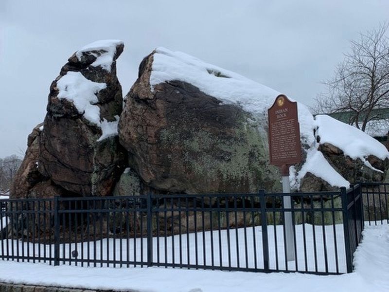
Photographed by Rika Schaffer, December 4, 2019
2. Indian Rock Marker
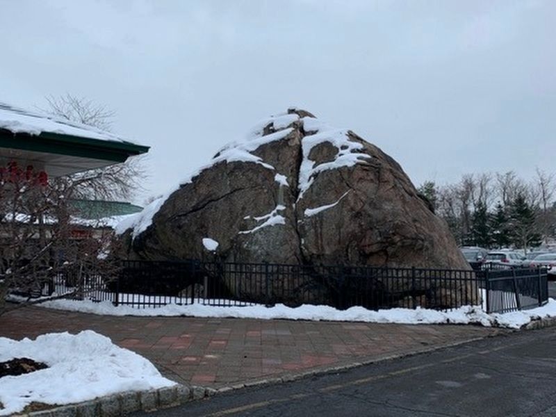
Photographed by Rika Schaffer, December 4, 2019
3. Indian Rock
Credits. This page was last revised on February 12, 2023. It was originally submitted on December 8, 2019, by Michael Herrick of Southbury, Connecticut. This page has been viewed 8,996 times since then and 460 times this year. Last updated on February 6, 2023, by Clare Sheridan of Tappan, New York. Photos: 1, 2, 3. submitted on December 8, 2019, by Michael Herrick of Southbury, Connecticut.
