Brockway in McCone County, Montana — The American West (Mountains)
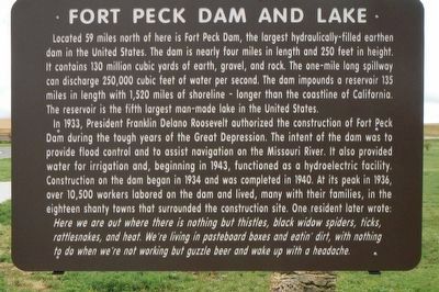
Fort Peck Dam and Lake
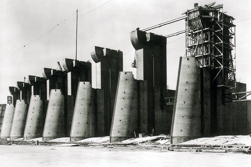
Located 59 miles north of here is Fort Peck Dam, the largest hydraulically-filled earthen dam in the United States. The dam is nearly four miles in length and 250 feet height. It contains 130 million cubic yards of earth, gravel, and rock. The one-mile long spillway can discharge 250,000 cubic feet of water per second. The dam impounds a reservoir 135 miles in length with 1,520 miles of shoreline - longer than the coastline of California. The reservoir is the fifth largest man-made lake in the United States.
In 1933, President Franklin Delano Roosevelt authorized the construction of Fort Peck Dam during the tough years of the Great Depression. The intent of the dam was to provide flood control and to assist navigation on the Missouri River. It also provided water for irrigation and, beginning in 1943, functioned as a hydroelectric facility. Construction on the dam began in 1934 and was completed in 1940. At its peak in 1936, over 10,500 workers labored on the dam and lived, many with their families, in the eighteen shanty towns that surrounded the construction site. On resident later wrote:
Here we are out where there is nothing but thistles, black widow spiders, ticks, rattlesnakes, and heat. We're living in pasteboard boxes and eatin' dirt, with nothing to do when we're not working but guzzle beer and wake up with a headache.
Erected by Montana Department of Transportation.
Topics and series. This historical marker is listed in these topic lists: Charity & Public Work • Waterways & Vessels. In addition, it is included in the Former U.S. Presidents: #32 Franklin D. Roosevelt series list. A significant historical year for this entry is 1933.
Location. 47° 19.505′ N, 106° 10.283′ W. Marker is in Brockway, Montana, in McCone County. Marker is at the intersection of Highway 200 at milepost 248 and South Flowing Wells Road, on the left when traveling west on Highway 200. Touch for map. Marker is in this post office area: Brockway MT 59214, United States of America. Touch for directions.
Other nearby markers. At least 2 other markers are within walking distance of this marker. Join the Voyage of Discovery (here, next to this marker); Dinosaurs (a few steps from this marker).
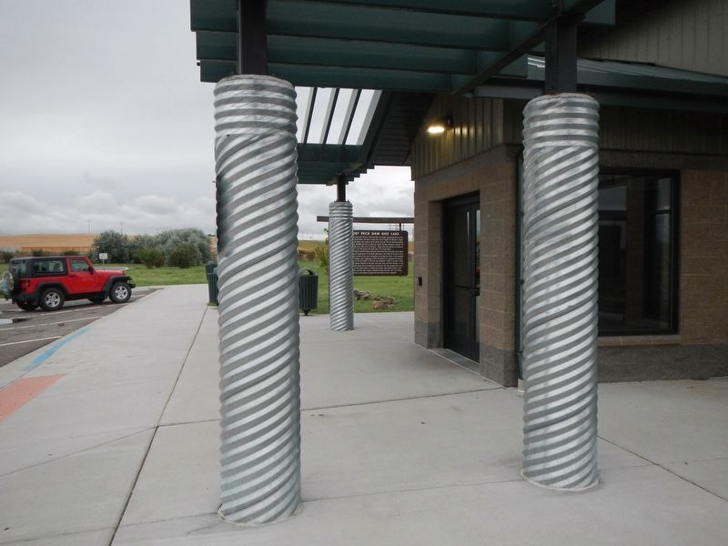
More about this marker. This marker is located at the Flowing Wells Rest Area
Credits. This page was last revised on December 20, 2020. It was originally submitted on December 9, 2019, by Barry Swackhamer of Brentwood, California. This page has been viewed 243 times since then and 23 times this year. Photos: 1, 2, 3. submitted on December 9, 2019, by Barry Swackhamer of Brentwood, California.


