Near California City in Kern County, California — The American West (Pacific Coastal)
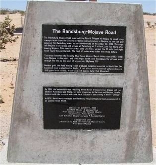
The Randsburg - Mojave Road
The route followed the Twenty Mule Team Mojave/Death Valley road (1883-1889) from Mojave to this point, and then angled north; near Randsburg the old road went through the hills to the west of present day Highway 395.
Besides gold, the Rand mining region produced tungsten (essential to World War One hardened steel production) in Atolia. A rich silver strike south of Johannesburg in 1919 gave birth to wild, wooly and rich Osdick (later Red Mountain). By 1915, the automobile was replacing horse drawn transportation. Stages still ran between Randsburg and Atolia; but auto stages ran to Barstow and Mojave. Locally, miners could ride to work and come back to town in the evening in desert “jitneys”. In 1924, Kern County surveyed the Randsburg-Mojave Road and took possession of it as County Road #636.
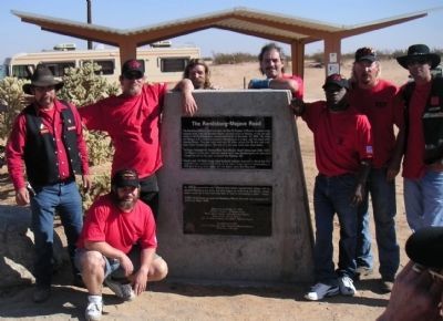
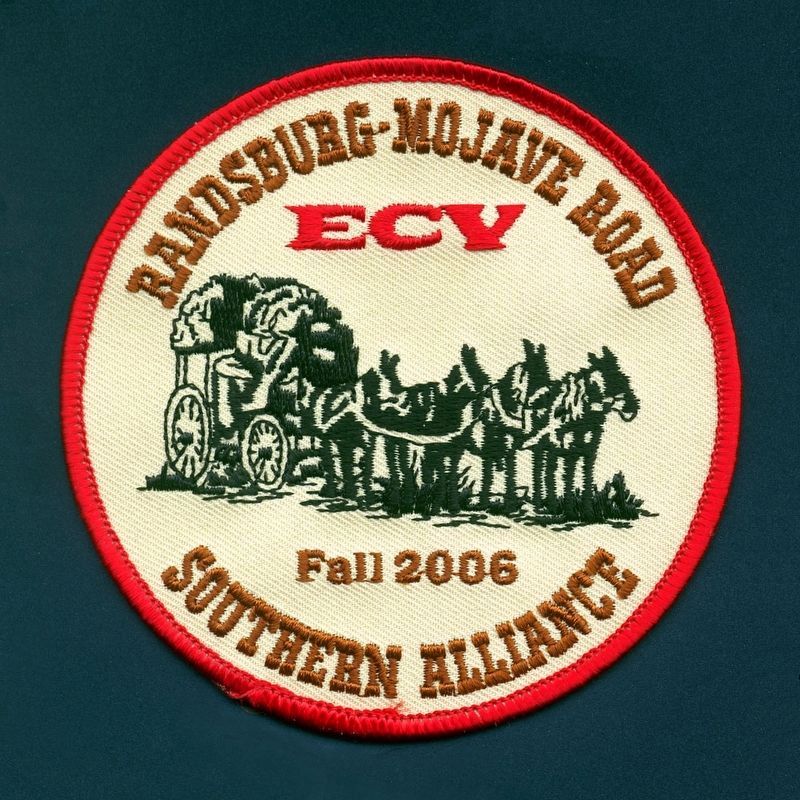
Erected 2006 by Southern Alliance of E Clampus Vitus, California City, East Kern Historical Museum Society, and Rand Desert Museum. (Marker Number 129.)
Topics and series. This historical marker is listed in these topic lists: Exploration • Roads & Vehicles. In addition, it is included in the E Clampus Vitus series list. A significant historical date for this entry is November 22, 1898.
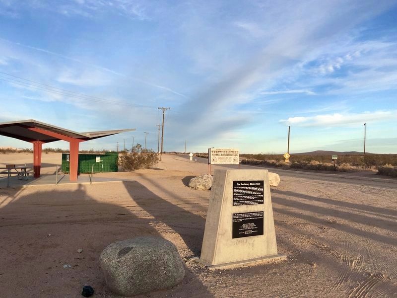
Location. 35° 8.44′ N, 117° 55.469′ W. Marker is near California City, California, in Kern County. Marker is at the intersection of Randsburg Mojave Road and 20 Mule Team Parkway on Randsburg Mojave Road. Touch for map. Marker is in this post office area: California City CA 93505, United States of America. Touch for directions.
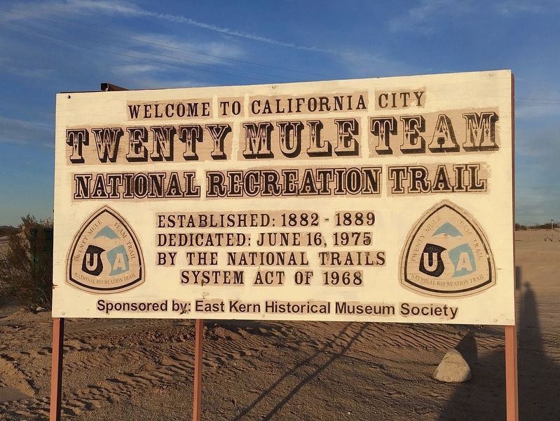
Other nearby markers. At least 8 other markers are within 14 miles of this marker, measured as the crow flies. California City Veterans Memorial (approx. ¼ mile away); 20-Mule Team Trail (approx. 5.3 miles away); Desert Spring (approx. 11.3 miles away); Florence "Pancho" Barnes (approx. 11.7 miles away); Josephine Stephens Bishop (approx. 11.9 miles away); HL-10 Lifting Body (approx. 13.2 miles away); NF-15B (approx. 13.2 miles away); Lockheed SR-71A Blackbird (approx. 13.2 miles away). Touch for a list and map of all markers in California City.
Also see . . . Randsburg. An article written by Harrison Doyle, published in Desert Magazine, August 1959 tells of his personal experiences living
in Randsburg. (Submitted on October 30, 2011.)
Credits. This page was last revised on November 21, 2021. It was originally submitted on October 28, 2011, by Frank Houdek of Kingman, Arizona. This page has been viewed 1,515 times since then and 35 times this year. Last updated on December 11, 2019, by Craig Baker of Sylmar, California. Photos: 1. submitted on October 28, 2011, by Frank Houdek of Kingman, Arizona. 2. submitted on February 20, 2012, by Lester J Letson of Fresno, California. 3, 4. submitted on November 21, 2021, by Craig Baker of Sylmar, California. 5. submitted on October 3, 2016, by Michael Kindig of Elk Grove, California. • J. Makali Bruton was the editor who published this page.
