Telegraph Hill in San Francisco City and County, California — The American West (Pacific Coastal)
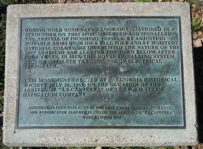
Telegraph Hill
This monument erected by California Historical Society July 20, 1961, on the occasion of the arrival of “S.S. Canberra” of the P&O Steam Navigation Company
Erected 1993 by Coit Tower Preservation Fund. (Marker Number 91.)
Topics and series. This historical marker is listed in these topic lists: Communications • Industry & Commerce • Waterways & Vessels. In addition, it is included in the California Historical Landmarks series list. A significant historical date for this entry is January 31, 1929.
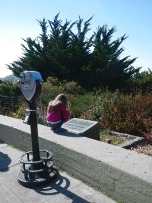
Location. 37° 48.183′ N, 122° 24.367′ W. Marker is in San Francisco, California, in San Francisco City and County. It is in Telegraph Hill. Marker can be reached from Telegraph Hill Boulevard, on the right when traveling west. Touch for map. Marker is at or near this postal address: 1 Telegraph Hill Boulevard, San Francisco CA 94133, United States of America. Touch for directions.
Other nearby markers. At least 8 other markers are within walking distance of this marker. Coit Memorial Tower (within shouting distance of this marker); Coit Tower (within shouting distance of this marker); Original Site of Third Baptist Church (about 600 feet away, measured in a direct line); Telegraph Hill Historic District (approx. 0.2 miles away); Belt Line Railroad (approx. 0.2 miles away); Francisco Street (approx. 0.2 miles away); Discarded Treasure (approx. ¼ mile away); Down to the Sea in Ships (approx. ¼ mile away). Touch for a list and map of all markers in San Francisco.
Also see . . .
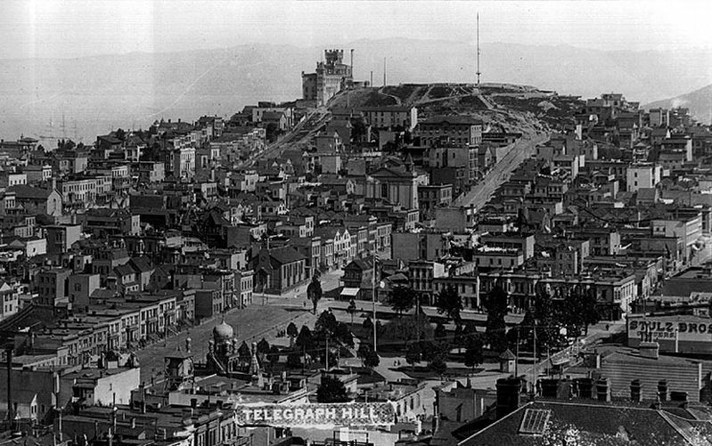
1. Semaphore line - Wikipedia. A semaphore telegraph, optical telegraph, shutter telegraph chain, Chappe telegraph, or Napoleonic semaphore is a system of conveying information by means of visual signals, using towers with pivoting shutters, also known as blades or paddles. Information is encoded by the position of the mechanical elements; it is read when the shutter is in a fixed position...One of the principal hills in San Francisco, California is also named "Telegraph Hill", after the semaphore telegraph which was established there in 1849 to signal the arrival of ships into San Francisco Bay. (Submitted on November 6, 2013, by Barry Swackhamer of Brentwood, California.)
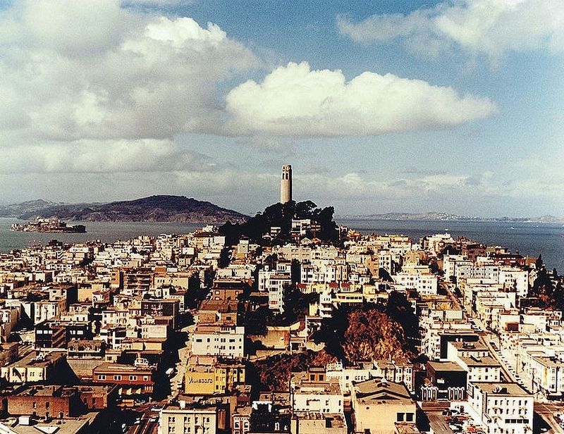
2. Telegraph Hill, San Francisco. Wikipedia entry (Submitted on September 16, 2020, by Larry Gertner of New York, New York.)
Credits. This page was last revised on February 7, 2023. It was originally submitted on November 5, 2013, by Barry Swackhamer of Brentwood, California. This page has been viewed 846 times since then and 34 times this year. Last updated on December 11, 2019, by Craig Baker of Sylmar, California. Photos: 1, 2. submitted on November 5, 2013, by Barry Swackhamer of Brentwood, California. 3, 4. submitted on September 16, 2020, by Larry Gertner of New York, New York. • J. Makali Bruton was the editor who published this page.


