Redlands in San Bernardino County, California — The American West (Pacific Coastal)
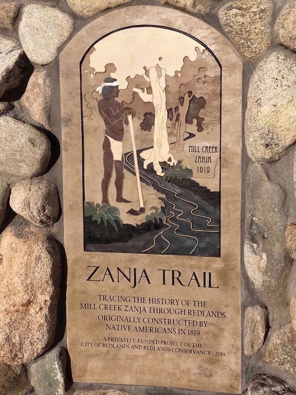
Mill Creek Zanja
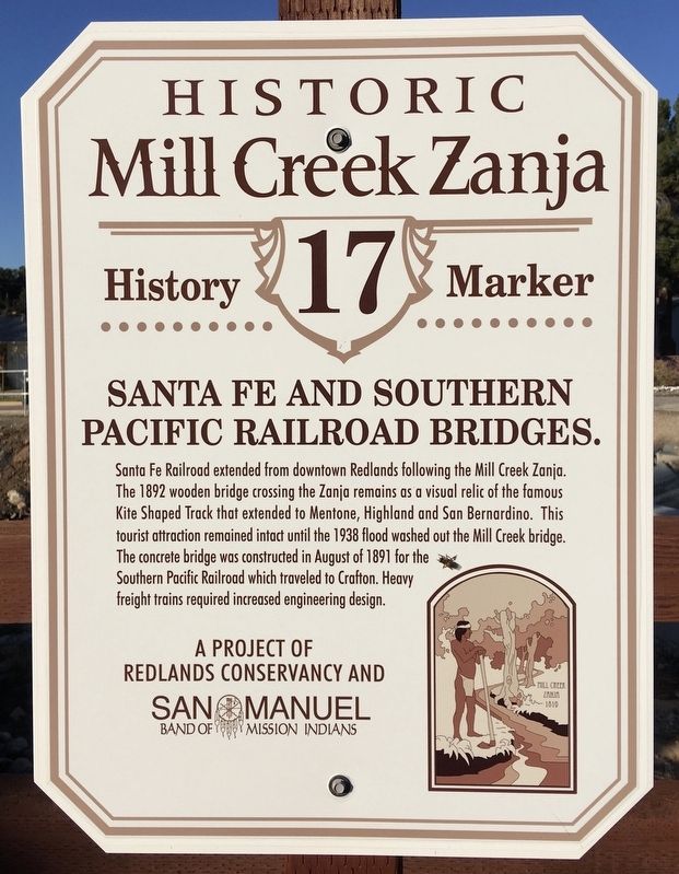
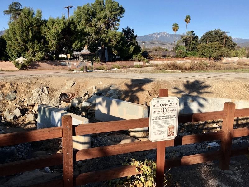
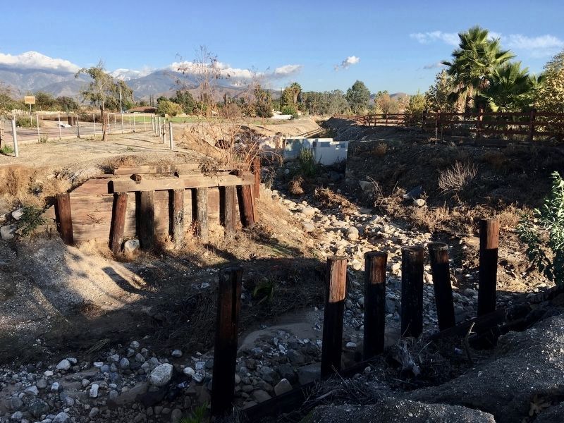
Santa Fe and Southern Pacific Railroad Bridges
Erected 2019 by Redlands Conservancy; and San Manuel Band of Mission Indians. (Marker Number 17.)
Topics. This historical marker is listed in these topic lists: Bridges & Viaducts • Industry & Commerce • Native Americans • Railroads & Streetcars.
Location. 34° 3.599′ N, 117° 9.089′ W. Marker is in Redlands, California, in San Bernardino County. Marker can be reached from the intersection of Laramie Avenue and Lincoln Street, on the left when traveling east. Located in Laramie Park. Touch for map. Marker is in this post office area: Redlands CA 92374, United States of America. Touch for directions.
Other nearby markers. At least 8 other markers are within 4 miles of this marker, measured as the crow flies. A different marker also named Mill Creek Zanja (approx. 0.9 miles away); First Lugonia School (approx. 1˝ miles away); Lincoln Memorial Shrine (approx. 1.9 miles away); A.K. Smiley Public Library (approx. 1.9 miles away); William McKinley (approx. 1.9 miles away); Kimberly Crest (approx. 2 miles away); The Greenspot Market (approx. 3.1 miles away); Aurantia Park (approx. 3˝ miles away). Touch for a list and map of all markers in Redlands.
Related marker. Click here for another marker that is related to this marker. — Mill Creek Zanja, California Historical Landmark.
Credits. This page was last revised on December 16, 2019. It was originally submitted on December 13, 2019, by Craig Baker of Sylmar, California. This page has been viewed 438 times since then and 77 times this year. Photos: 1, 2, 3, 4. submitted on December 13, 2019, by Craig Baker of Sylmar, California. • J. Makali Bruton was the editor who published this page.


