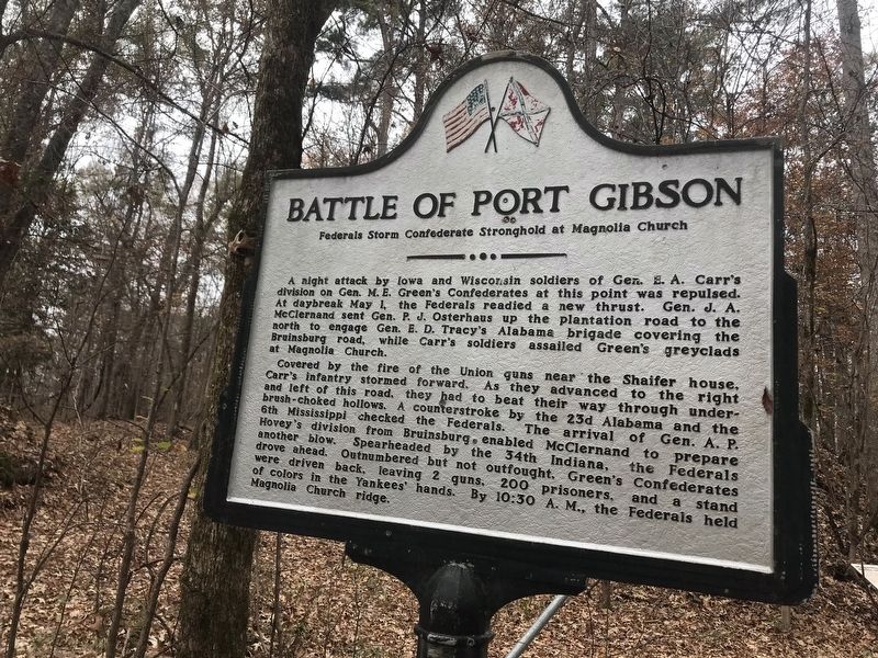
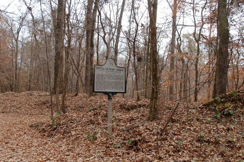
Battle of Port Gibson
Federals Storm Confederate Stronghold at Magnolia Church
A night attack by Iowa and Wisconsin soldiers of Gen. E. A. Carr's division on Gen. M. E. Green's Confederates at this point was repulsed. At daybreak May 1, the Federals readied a new thrust. Gen. J. A. McClernand sent Gen. P. J. Osterhaus up the plantation road to the north to engage Gen. E. D. Tracy's Alabama brigade covering the 1 Bruinsburg road, while Carr's soldiers assailed Green's greyclads at Magnolia Church.
Covered by the fire of the Union guns near the Shaffer house, Carr's infantry stormed forward. As they advanced to the right and left of this road, they had to beat their way through under-brush-choked hollows. A counterstroke by the 23d Alabama and the 6th Mississippi checked the Federals. The arrival of Gen. A. P. Hovey's division from Bruinsburg, enabled McClernand to prepare another blow. Spearheaded by the 34th Indiana, the Federals drove ahead. Outnumbered but not outfought, Green's Confederates were driven back, leaving 2 guns, 200 prisoners and a stand of colors in the Yankees' hands. By 10:30 A.M., the Federals held Magnolia Church ridge.
Topics. This historical marker is listed in this topic list: War, US Civil. A significant historical date for this entry is May 1, 1863.
Location. 31° 56.68′ N, 91° 1.861′ W. Marker is in Port Gibson, Mississippi, in Claiborne County. Marker is
Other nearby markers. At least 8 other markers are within walking distance of this marker. Old Magnolia Church Site (here, next to this marker); Magnolia Church and the Battle along the Rodney Road (here, next to this marker); a different marker also named Battle of Port Gibson (approx. 0.4 miles away); A Fight at Midnight (approx. 0.4 miles away); From This Site (approx. 0.4 miles away); Reconciliation and Reunions (approx. 0.4 miles away); Field Surgery on the Porch (approx. 0.4 miles away); At the Center of the Battle (approx. 0.4 miles away). Touch for a list and map of all markers in Port Gibson.
Credits. This page was last revised on December 15, 2019. It was originally submitted on December 15, 2019, by Cajun Scrambler of Assumption, Louisiana. This page has been viewed 219 times since then and 20 times this year. Photos: 1, 2. submitted on December 15, 2019, by Cajun Scrambler of Assumption, Louisiana.

