St. Augustine in St. Johns County, Florida — The American South (South Atlantic)
Atlantic Intracoastal Waterway
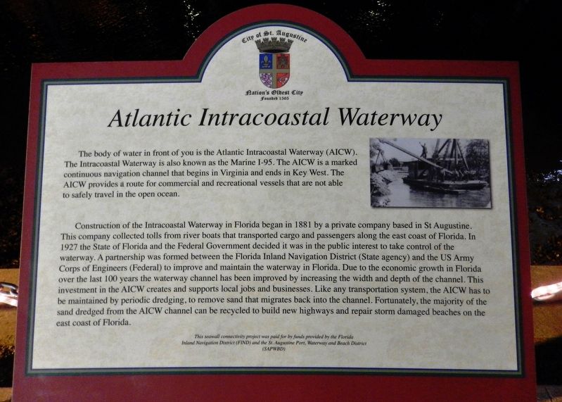
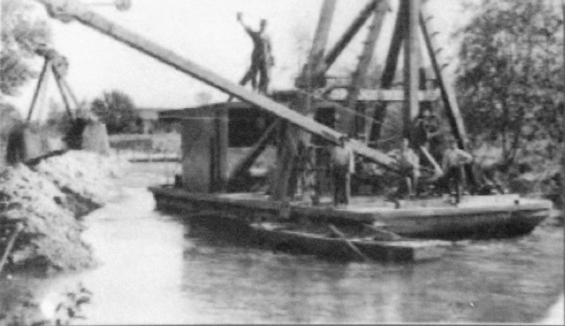
Construction of the Intracoastal Waterway in Florida began in 1881 by a private company based in St Augustine. This company collected tolls from river boats that transported cargo and passengers along the east coast of Florida. In 1927 the State of Florida and the Federal Government decided it was in the public interest to take control of the waterway. A partnership was formed between the Florida Inland Navigation District (State agency) and the US Army Corps of Engineers (Federal) to improve and maintain the waterway in Florida. Due to the economic growth in Florida over the last 100 Years the waterway channel has been improved by increasing the width and depth of the channel. This investment in the AICW creates and supports local jobs and businesses. Like any transportation system, the AICW has to be maintained by periodic dredging, to remove sand that migrates back into the channel. Fortunately, the majority of the sand dredged from the AICW channel can be recycled to build new highways and repair storm damaged beaches on the east coast of Florida.
Erected by City of St. Augustine.
Topics. This historical marker is listed in this topic list: Waterways & Vessels. A significant historical year for this entry is 1881.
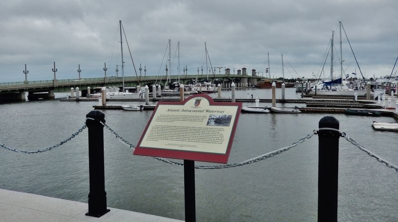
Location. 29° 53.526′ N, 81° 18.61′ W. Marker is in St. Augustine, Florida, in St. Johns County. Marker can be reached from the intersection of Avenida Menendez and King Street (Business U.S. 1), on the right when traveling north. Marker is located along the St. Augustine Seawall walkway, just south of the Bridge of Lions, overlooking the subject Atlantic Intracoastal Waterway. Touch for map. Marker is at or near this postal address: 111 Avenida Menendez, Saint Augustine FL 32084, United States of America. Touch for directions.
Other nearby markers. At least 8 other markers are within walking distance of this marker. The Boat Basin (within shouting distance of this marker); The Plaza Building (about 300 feet away, measured in a direct line); Juan Ponce De Leon (about 400 feet away); The Historic St. Augustine Seawall (about 400 feet away); Florida (about 400 feet away); Juan Ponce de Leon (about 400 feet away); Public Market Place (about 400 feet away); The St. Augustine Foot Soldiers Monument (about 400 feet away). Touch for a list and map of all markers in St. Augustine.
Credits. This page was last revised on December 17, 2019. It was originally submitted on December 16, 2019, by Cosmos Mariner of Cape Canaveral, Florida. This page has been viewed 448 times since then and 52 times this year. Photos: 1, 2, 3. submitted on December 16, 2019, by Cosmos Mariner of Cape Canaveral, Florida.


