Near Belt in Cascade County, Montana — The American West (Mountains)
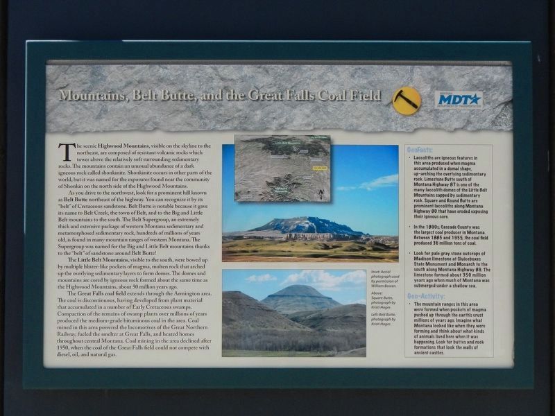
Mountains, Belt Butte, and the Great Falls Coal Field
Inscription.
The scenic Highwood Mountains, visible on the skyline to the northeast, are composed of resistant volcanic rocks which tower above the relatively soft surrounding sedimentary rocks. The mountains contain an unusual abundance of a dark igneous rock called shonkinite. Shonkinite occurs in other parts of the world, but is was named for the exposures found near the community of Shonkin on the north side of the Highwood Mountains.
As you drive to the northwest, look for a prominent hill known as Belt Butte northeast of the highway. You can recognize it by its "belt: of Cretaceous sandstone. Belt Butte is notable because it gave its name to Belt Creek, the town of Belt, and to the Big and Little Belt mountains to the south. The Belt Supergroup, an extremely thick and extensive package of western Montana sedimentary and metamorphosed sedimentary rock, hundreds of millions of years old, is found in many mountain ranges of western Montana. The Supergroup was named for the Big and Little Belt mountains thanks to the "belt" of sandstone around Belt Butte!
The Little Belt Mountains, visible to the south, were bowed up by multiple blister-like pockets of magma, molten rock that arched up the overlying sedimentary layers to form domes. The domes and mountains are cored by igneous rock formed about the same time as the Highwood Mountains, about 50 million years ago.
The Great Falls coal field extends through the Armington area. The coal is discontinuous, having developed from plant material that accumulated in a number of Early Cretaceous swamps. Compaction of the remains of swamp plants over millions of years produce the medium-grade bituminous coal in the area. Coal mined in this area powered the locomotives of the Great Northern Railway, fueled the smelter at Great Falls, and heated homes throughout central Montana. Coal mining in the area declined after 1950, when the coal from the Great Falls field could not compete with diesel, oil and natural gas.
GeoFacts:
• Laccoliths are igneous features in this area produced when magma accumulated in a domal shape, up-arching the overlying sedimentary rock. Limestone Butte south of Montana Highway 87 is one of the many laccolith domes of the Little Belt Mountains capped by sedimentary rock. Square and Round Butte are prominent laccoliths along Montana Highway 80 that have eroded exposing their igneous core.
• In the 1890s, Cascade County was the largest coal producer in Montana. Between 1885 and 1955, the coal field produced 38 million tons of coal.
• Look for pale gray stone outcrops of Madison limestone at Sluiceboxes State Monument and Monarch to the south along Montana Highway 89. The limestone formed about 350 million
years ago when much of Montana was submerged under a shallow sea.
Geo-Activity:
• The mountain ranges in this area were formed when pockets of magma pushed up through the earth's crust millions of yeas ago, Imagine what Montana looked like when they were forming and think about what kinds of animals lived here when it was happening. Look for buttes and rock formations that look (like) the walls of ancient castles.
Erected by Montana Department of Transportation.
Topics. This historical marker is listed in this topic list: Natural Features.
Location. 47° 20.993′ N, 110° 53.757′ W. Marker is near Belt, Montana, in Cascade County. Marker is at the intersection of U.S. 87 and Paul J. Erickson Memorial Highway (U.S. 89) when traveling west on U.S. 87. Touch for map. Marker is in this post office area: Belt MT 59412, United States of America. Touch for directions.
Other nearby markers. At least 4 other markers are within 10 miles of this marker, measured as the crow flies. Belt Jail (approx. 2.9 miles away); "East Belt" Ventilation Fan (approx. 3 miles away); Belt Commercial Historic District (approx. 3 miles away); Steamboats, Bull Whackers, and Fish Trains (approx. 9.7 miles away).
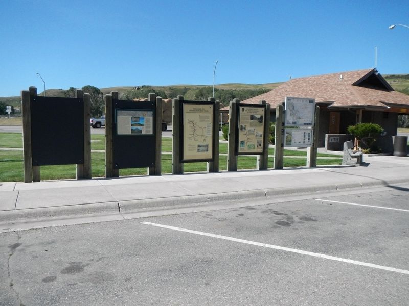
More about this marker. The marker is located at the Belt Rest Area.
Credits. This page was last revised on December 18, 2019. It was originally submitted on December 18, 2019, by Barry Swackhamer of Brentwood, California. This page has been viewed 290 times since then and 20 times this year. Photos: 1, 2. submitted on December 18, 2019, by Barry Swackhamer of Brentwood, California.

