
Upper Lake in Lake County, California — The American West (Pacific Coastal)
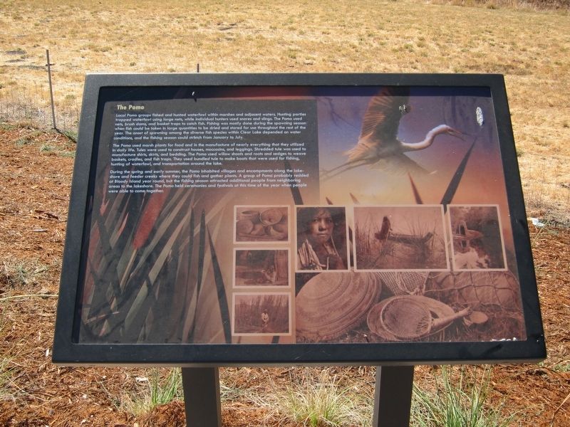
The Pomo
Photographed by Andrew Ruppenstein, October 5, 2012
1. The Pomo Marker
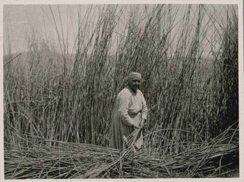
The Pomo used marsh plants for food and in the manufacture of nearly everything that they utilized in daily life. Tules were used to construct houses, moccasins, and leggings. Shredded tule was used to manufacture shirts, skirts, and bedding. The Pomo used willow shoots and roots and sedges to weave baskets, cradles, and fish traps. They used bundled tule to make boats that were used for fishing, hunting of waterfowl, and transportation around the lake.
During the spring and early summer, the Pomo inhabited villages and encampments along the lakeshore
this page online
Topics. This historical marker is listed in this topic list: Indigenous Peoples and Communities.
Location. 39° 8.933′ N, 122° 53.264′ W. Marker is in Upper Lake, California, in Lake County. It is on State Highway 20, on the left when traveling west. Touch for map. Marker is in this post office area: Upper Lake CA 95485, United States of America. Touch for directions.

Regionally, this marker is in California’s Wine Country and on the Coast Ranges. It is also on the American Pacific Coast. Globally, it is in North America, on the Ring of Fire, in the Pacific Rim, in the Western Hemisphere, in the Western World, and in the Anglosphere. Historically, it finds itself in what was once New Spain and also Mexico’s Alta California.
Other nearby markers. At
Photographed by Andrew Ruppenstein, October 5, 2012
2. The Pomo Marker - wide view
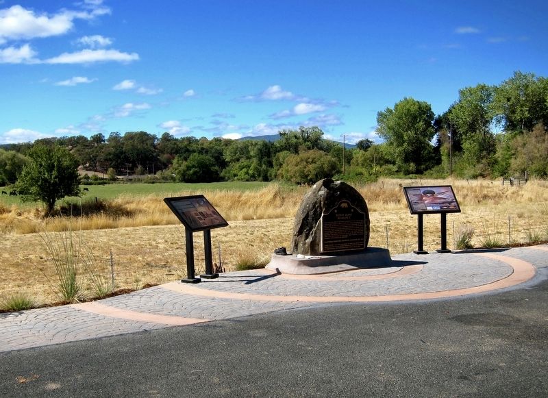
The Pomo marker is the leftmost of the three.
Another marker is no longer nearby. Upper Lake Through Time (was approx. 1.6 miles away but has been permanently removed).
Also see . . . The Pomo (Wikipedia). (Submitted on December 19, 2019.)
Edward S. Curtis (courtesy of the National Anthropological Archives, Smithsonian Institution), March 29, 1924
3. "Upper Pomo Lake - Gathering Tules (photo on marker)
Credits. This page was last revised on December 19, 2019. It was originally submitted on December 19, 2019, by Andrew Ruppenstein of Lamorinda, California. This page has been viewed 651 times since then and 28 times this year. Photos: 1, 2, 3. submitted on December 19, 2019, by Andrew Ruppenstein of Lamorinda, California.
