Great Falls in Cascade County, Montana — The American West (Mountains)
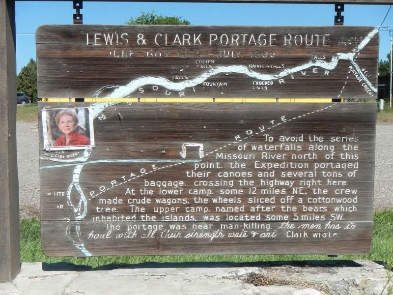
Lewis & Clark Portage Route
June - July 1805 - July, 1806

Photographed By Barry Swackhamer, August 18, 2019
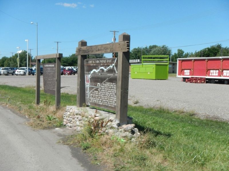
1. Lewis & Clark Portage Route Marker
Landmarks (right to left, the direction of Corps of Discovery's travel) Belt/Portage Creek; Great Falls; Crooked Falls; Rainbow Falls; Fountain Springs; Colter Falls; Black Eagle Falls; Sun/Medicine River; White Bear Islands.
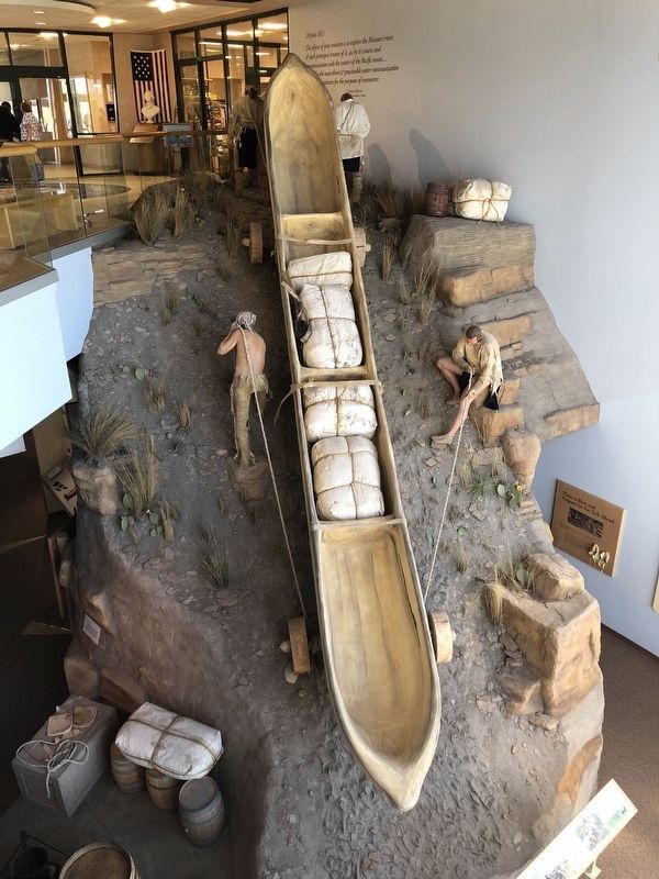
The portage was near man-killing. the men has to haul with all their strength wate & art Clark wrote.
Erected by Montana Department of Transportation.
Topics and series. This historical marker is listed in these topic lists: Animals • Exploration • Waterways & Vessels. In addition, it is included in the Lewis & Clark Expedition series list.
Location. 47° 29.641′ N, 111° 13.341′ W. Marker is in Great Falls, Montana, in Cascade County. Marker is on 10th Avenue South (U.S. 87) near 50th Street South, on the right when traveling west. Touch for map. Marker is at or near this postal address: 5100 10th Avenue South, Great Falls MT 59405, United States of America. Touch for directions.
Other nearby markers. At least 8 other markers are within 3 miles of this marker, measured as the crow flies. Malmstrom Air Force Base (a few steps from this marker); Ursuline Academy (approx. 2.2 miles away); Black Eagle Falls (approx. 2.4 miles away); The Experiment (approx. 2˝ miles away); Mobile Villages (approx. 2˝ miles away); Seaman: Companion to the Corps (approx. 2.6 miles away); A "great" Set of Falls (approx. 2.6 miles away); The Army's Navy (approx. 2.6 miles away). Touch for a list and map of all markers in Great Falls.
Credits. This page was last revised on January 6, 2020. It was originally submitted on December 19, 2019, by Barry Swackhamer of Brentwood, California. This page has been viewed 308 times since then and 29 times this year. Photos: 1, 2, 3. submitted on December 19, 2019, by Barry Swackhamer of Brentwood, California.

